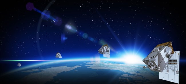
WorldView Legion Satellite Constellation
30cm/HD15cm
VANTOR Technologies’ new WorldView Legion Satellite Constellation was launched on May 2, 2024, by a SpaceX Falcon 9 rocket. Watch the launch live. WorldView Legion constellation is the next-generation and will provide 30cm high-resolution imagery, 8-band multispectral, and 15cm HD video daily. The WorldView Legion will be transported in low orbit of an altitude of 450km and will have 15 revisits per day, when fully deployed. WorldView Legion will support and enable advanced persistent monitoring from sundown to sun up in real time. The standard 30cm/1.2m WorldView Legion Satellite imagery can be delivered as a Pansharpened bundled (RGBN) 15cm imaging product.
WorldView Legion Satellite Constellation (30cm)
© VANTOR Technologies. All rights reserved.
National Security and Military Mapping
WorldView Legion will support National Security and Defence for surveillance and monitoring to aid in verifying and validating treaties and enforced sanctions. WorldView Legion can collect high-resolution satellite imagery in detail of activities happening on the ground of potential threats such as nuclear and ballistic missiles.
The United States military work operations carried out in remote areas and rugged environments can prove to be challenging. Military personnel needs the latest satellite imagery and maps to visualize in real time what is happening on the ground to monitor, manage, and execute critical missions. Satellite Imaging Corporation (SIC) can provide 3D terrain visualization elevation maps, datasets, and mosaics that can support mission planning, flight training, battlefield management, mission rehearsal, research, and other activities that can provide vital information for aerial mission planners and command information systems.
Maritime Monitoring
WorldView Legion satellite imagery can support the surveillance of illegal fishing, piracy, oil spills, natural disasters, pollution, drug smuggling, and human trafficking. WorldView Legion satellite imagery can detect and identify suspicious criminal maritime activities and respond faster than ever before by utilizing Artificial Intelligence (AI) algorithms. .
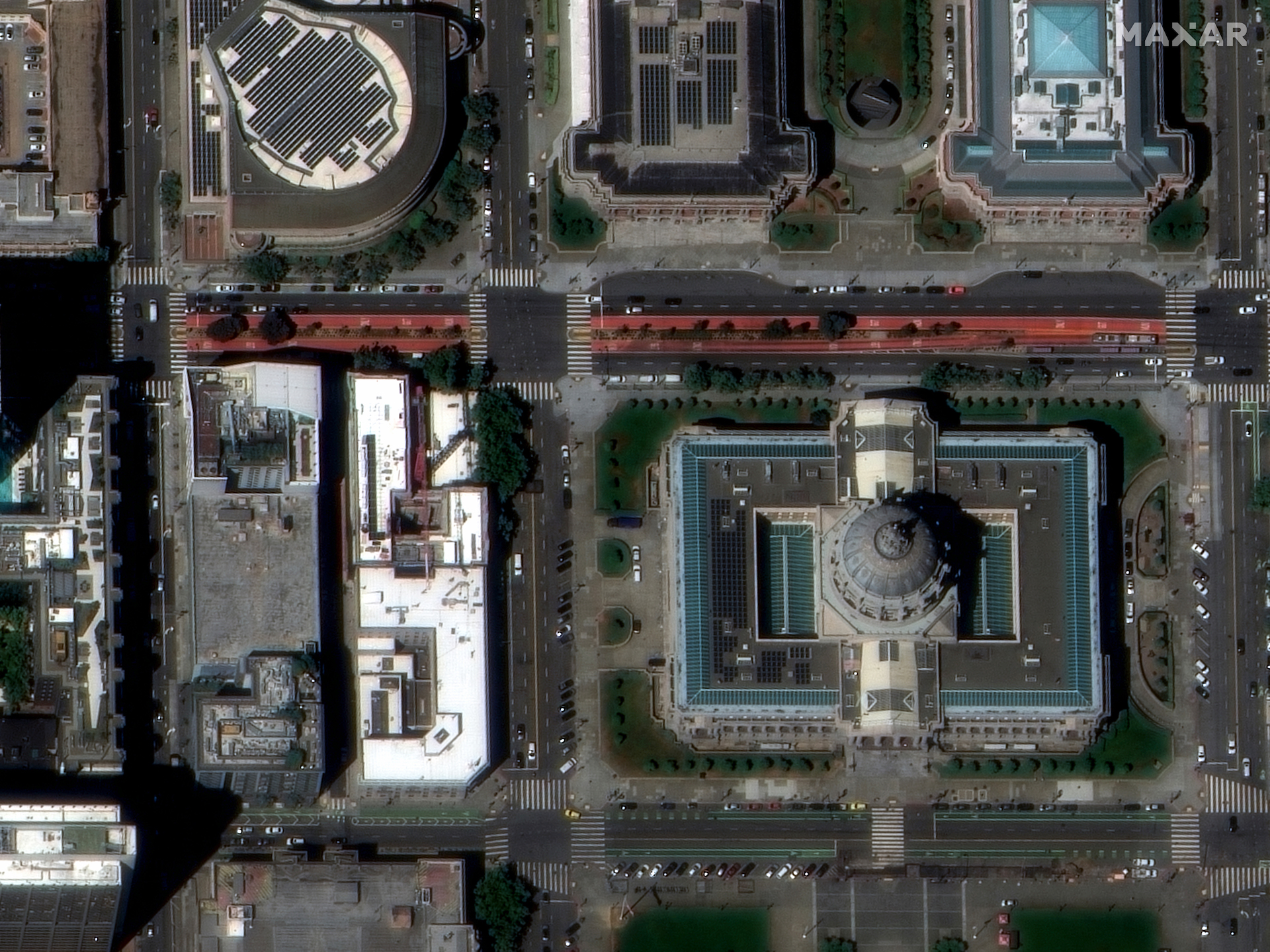
Sample Images
WorldView Legion Satellite Image Gallery
* Click on thumbnail to view in full resolution.
WorldView Legion Satellite Constellation Specifications
Orbit
Altitude 518 km
Type: Mid-inclination and sun-synchronous
Life
>10 years
Swath width
At Nadir: 10.0 km
Sensor bands
Panchromatic: 450 – 800 nm
8 Multispectral:
Coastal: 400 – 450 nm
Blue: 450 – 510 nm
Green: 510 – 580 nm
Yellow: 585 – 625 nm
Red: 630 – 690 nm
Red Edge1: 695 – 715 nm
Red Edge2: 730 – 750 nm
Near-IR: 770 – 895 nm
Ground Sample Distance
Panchromatic nadir: 34 cm
Multispectral nadir: 1.36 m
Geolocation accuracy
< 5 m CE90 without ground control points, <1.5 m RMSE


