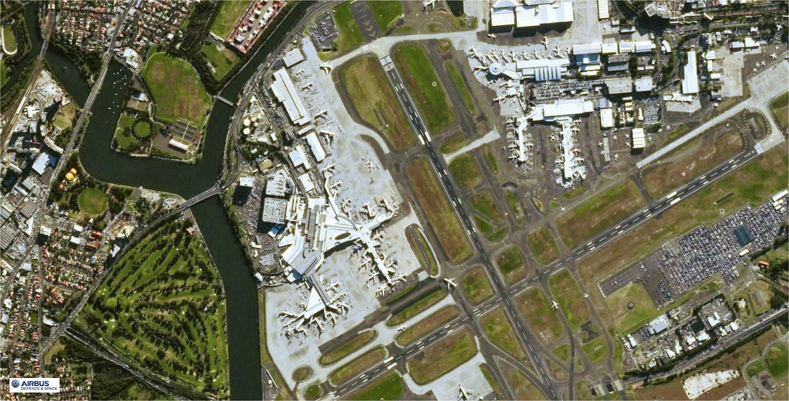
SPOT-7 Satellite Sensor
(1.5m)
SPOT-7 satellite sensor built by AIRBUS Defence & Space was successfully launched on June 30, 2014, by a PSLV launcher from the Satish Dhawan Space Center in India. Watch video SPOT-7 the satellite launch.
SPOT-7 Satellite Sensor (1.5m)

Copyright © AIRBUS Defence & Space. All rights reserved.
SPOT-6 and 7 will cover wider areas with a resolution of 1.5 meters, Pléiades 1A and 1B will be focused on more targeted zones with a greater level of detail (50 cm products).
SPOT-6 & 7 Constellation
Like its twin, SPOT-7 covers wider areas in record time. With both satellites in orbit, will have the acquisition capacity to be boosted to six million square kilometers per day – an area ten times the size of France.
Phased 180° apart in the same orbit, the SPOT-6 and SPOT-7 genuine constellation, beyond ensuring service continuity from the SPOT family, will now bring new capabilities especially in terms of sharpness, responsiveness, and collection capacity:
- 1.5m resolution suitable for 1:25.000 scale topographic mapping
- Daily revisits everywhere
- Wide coverage capacity – Collecting the equivalent of the Earth’s Landmass in just two months
SPOT-6 and SPOT-7 are the de facto solution to cover wide areas in record time, making national maps by regular updating as well as thematic map creation possible.
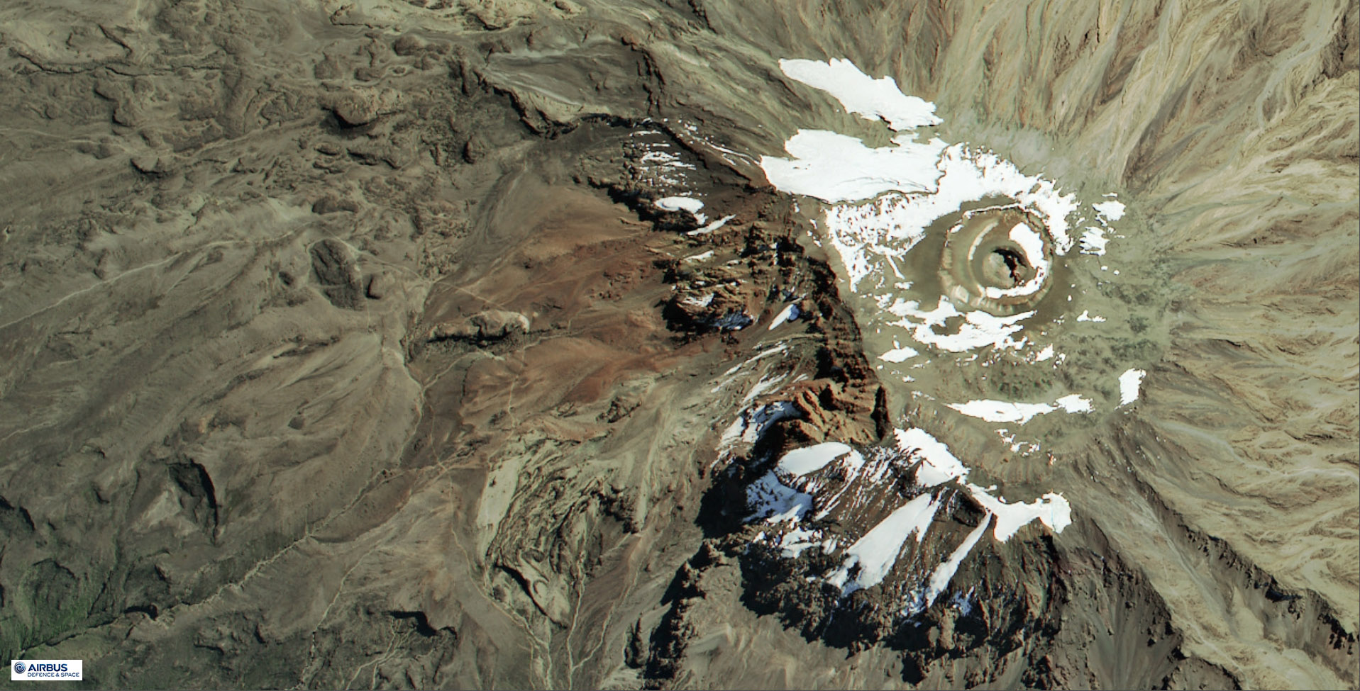
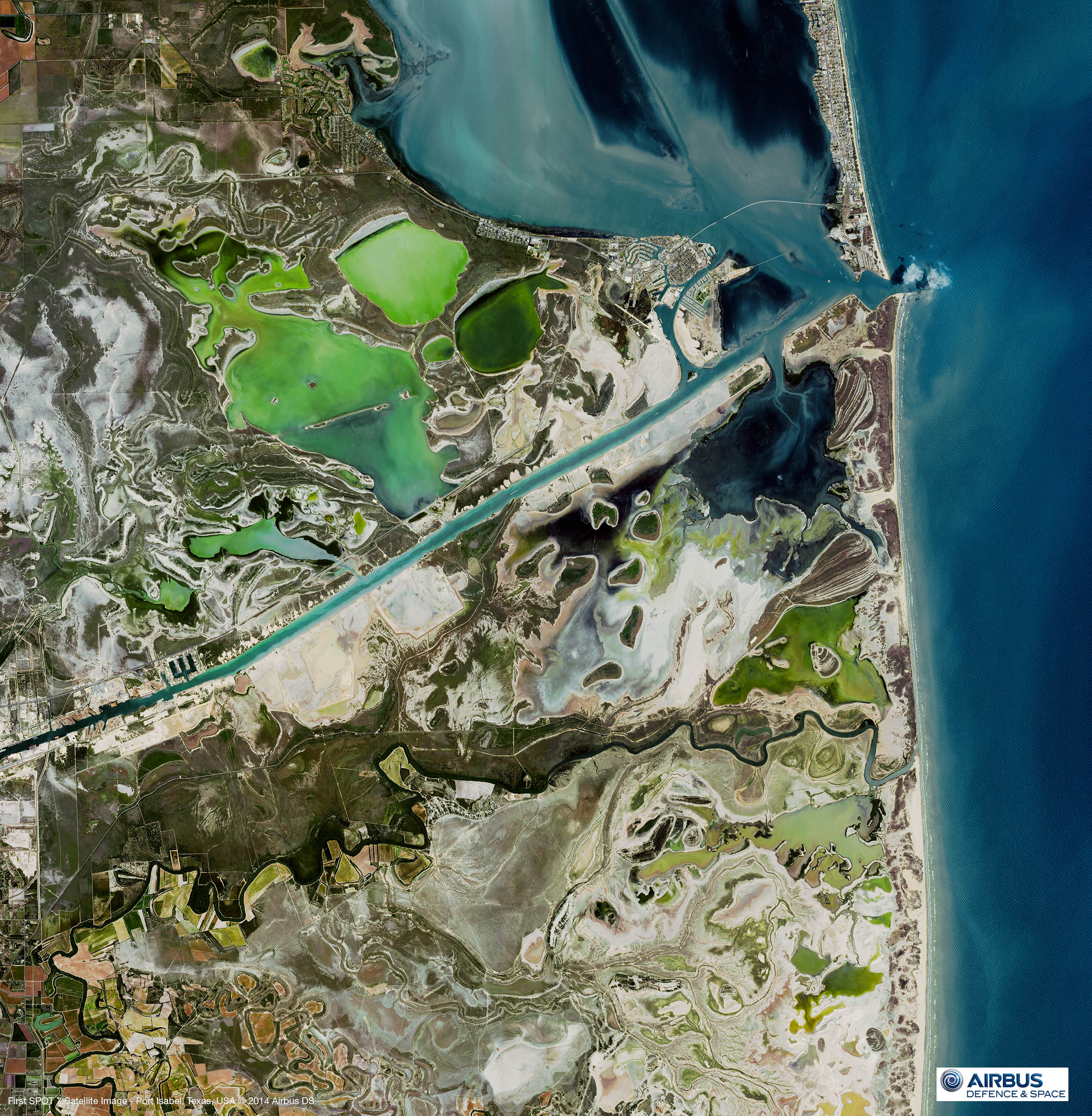
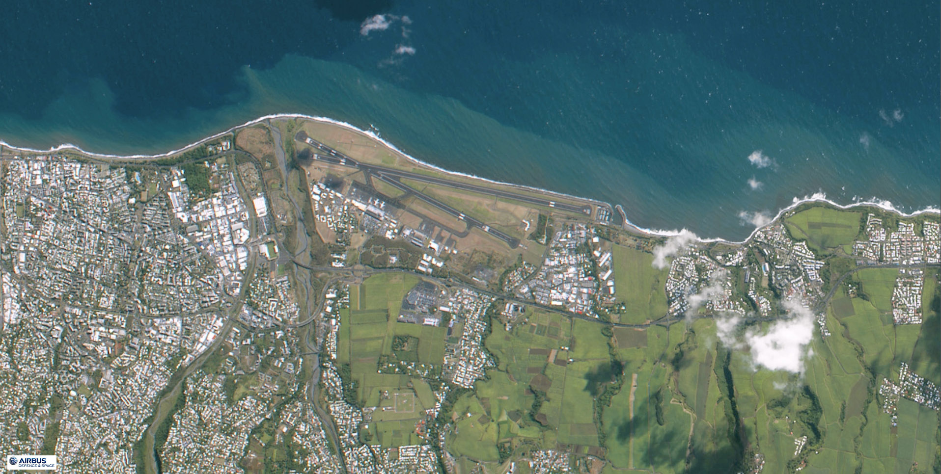
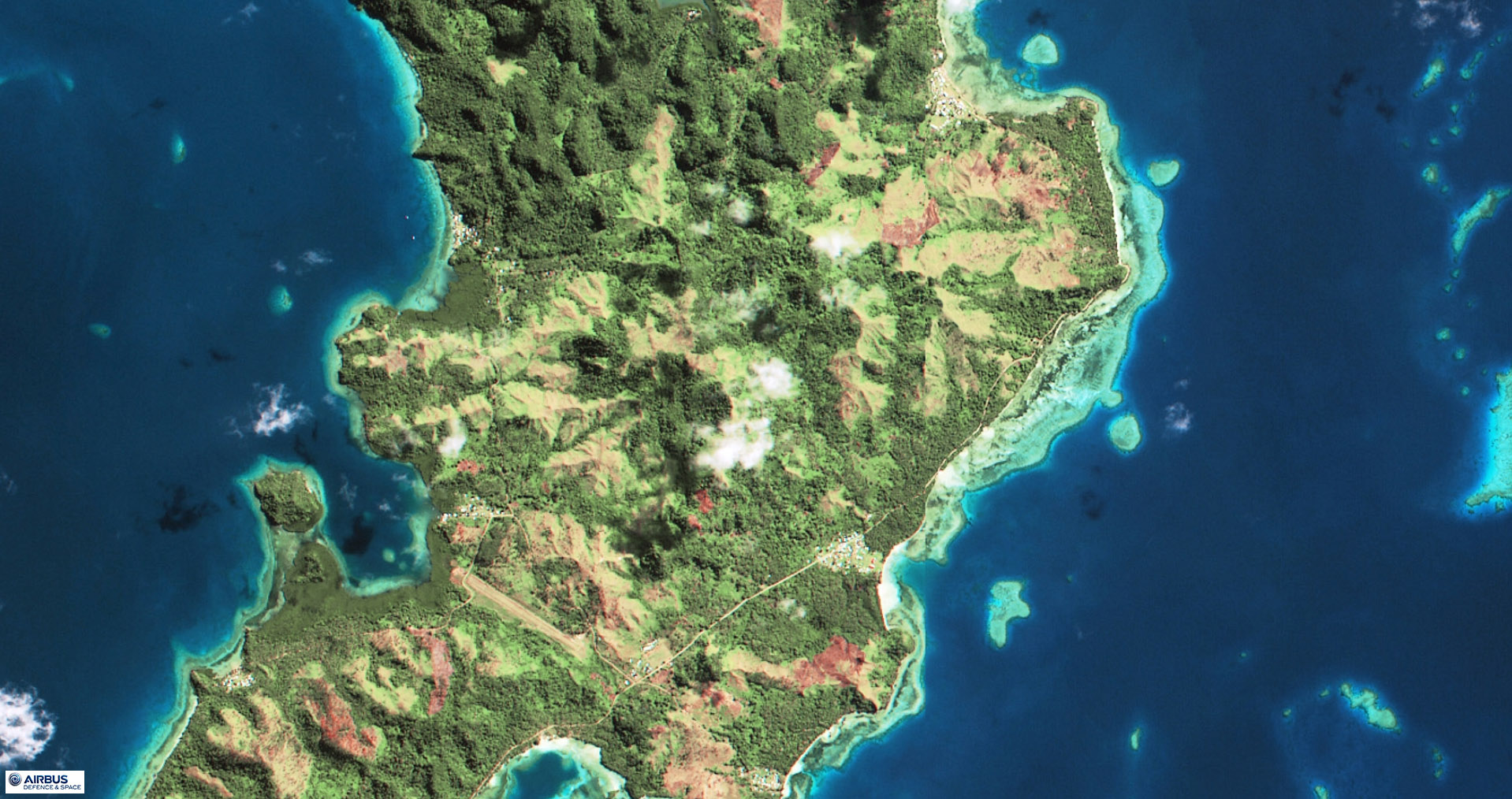
Sample Images
SPOT-7 Satellite Image Gallery
* Click on thumbnail to view in full resolution.
For more information on any of our products and image processing services, please contact us for a complimentary consultation.
SPOT-7 Satellite Sensor Specifications
Launch Date
June 30, 2014
Launch Vehicle
PSLV
Launch Location
Satish Dhawan Space Center (India)
Multispectral Imagery (4 bands)
Blue (0.455 µm – 0.525 µm)
Green (0.530 µm – 0.590 µm)
Red (0.625 µm – 0.695 µm)
Near-Infrared (0.760 µm – 0.890 µm)
Resolution (GSD)
Panchromatic – 1.5m
Multispectral – 6.0m (B,G,R,NIR)
Location Accuracy
10m (CE90)
Imaging Swath
60 Km at Nadir


