SPOT-6 Satellite Sensor
(1.5m)
SPOT-6 satellite sensor built by AIRBUS Defence & Space was successfully launched on September 9, 2012, by a PSLV launcher from the Satish Dhawan Space Center in India. Watch video of SPOT-6 the satellite launch.
SPOT-6 Satellite Sensor (1.5m)

Copyright © AIRBUS Defence & Space. All rights reserved.
SPOT-6 satellite joined the Pleiades Constellation and later SPOT-7 in 2014 after proposed launch.
SPOT-6 is an optical imaging satellite capable of imaging the Earth with a resolution of 1.5 meter panchromatic and 6 meter multispectral (blue, green, red, near-IR) and will offer imaging products to customers in defense, agriculture, deforestation, environmental monitoring, coastal surveillance, engineering, and energy industries.
SPOT-6 satellite and SPOT-7 will ensure service continuity of SPOT- 4 and SPOT-5 satellites, which have been operating since 1998 and 2002. Moreover, both ground and space segments have been designed for improved performances compared to previous SPOT missions, especially in term of reactivity from satellite tasking to product delivery and collection capacity. The constellation SPOT-6 and SPOT-7 will provide a daily revisit everywhere on Earth with a total coverage of 6 million km² per day. SPOT-6 and 7 will have a service life of 10 years.
SPOT-6 provides automatic ortho image and has a location accuracy of 10m CE90 using Reference3D 120 Km x 120 Km bi-strip or 60 Km x 180 Km tri-strip mapping in a single pass and delivery of a satellite image mosaic. SPOT-6 offers Stereo and tri-stereo acquisition of 60 Km x 60 Km scenes for production of DEMs.
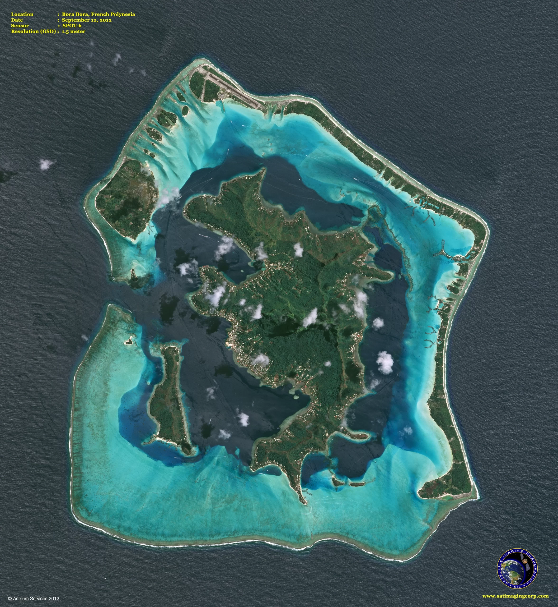
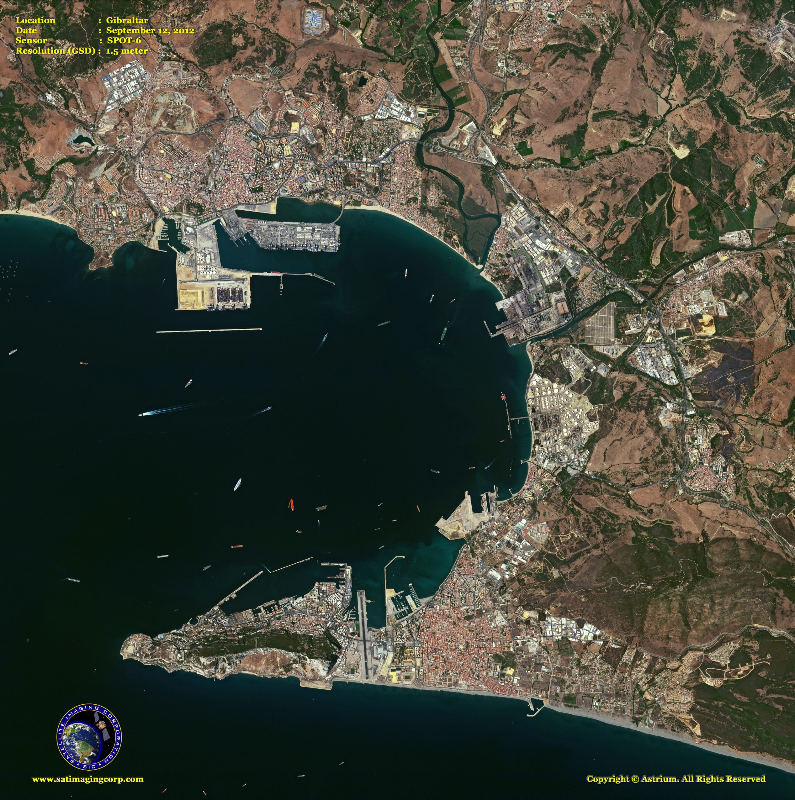
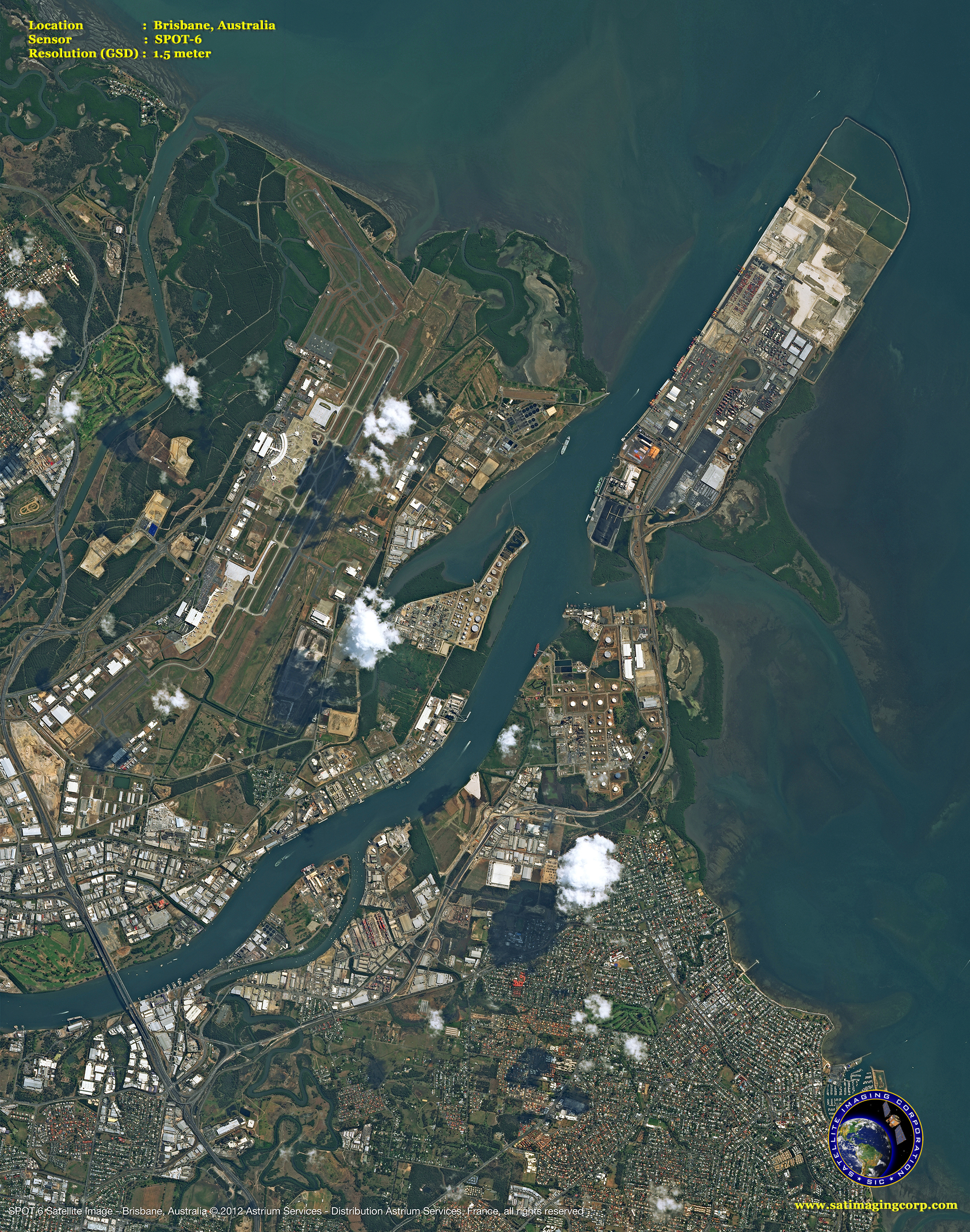
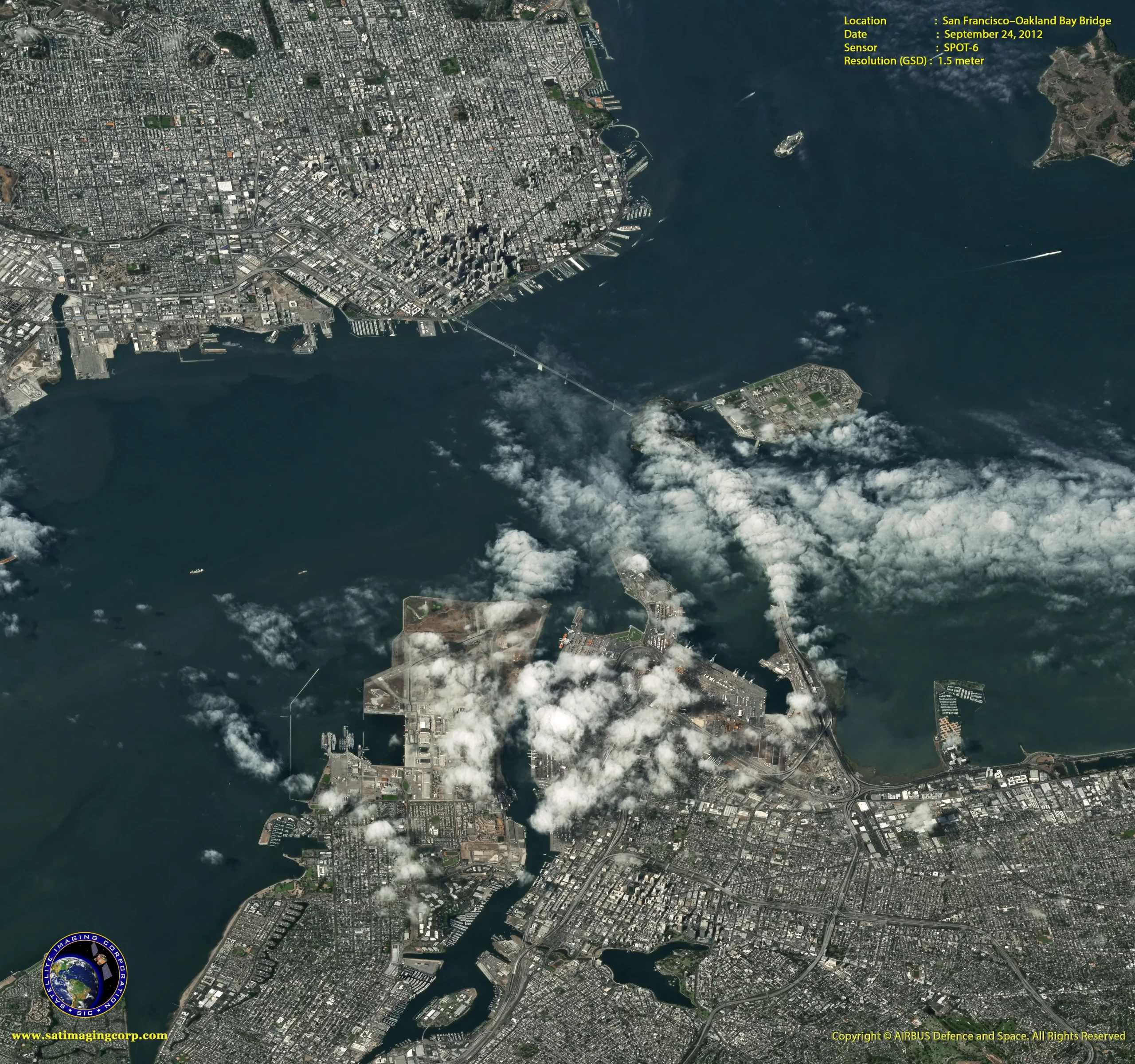
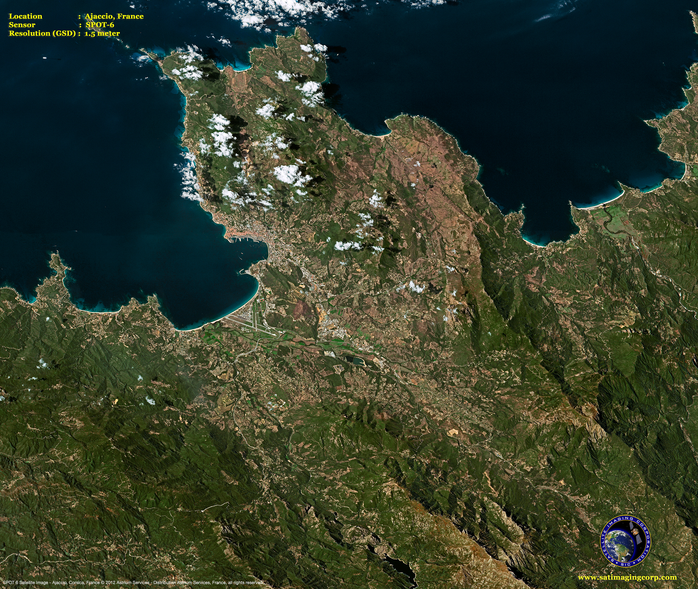
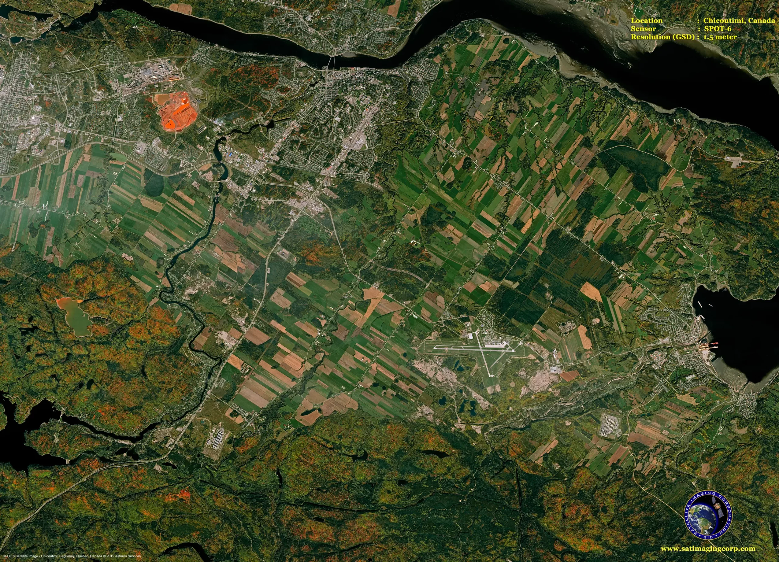
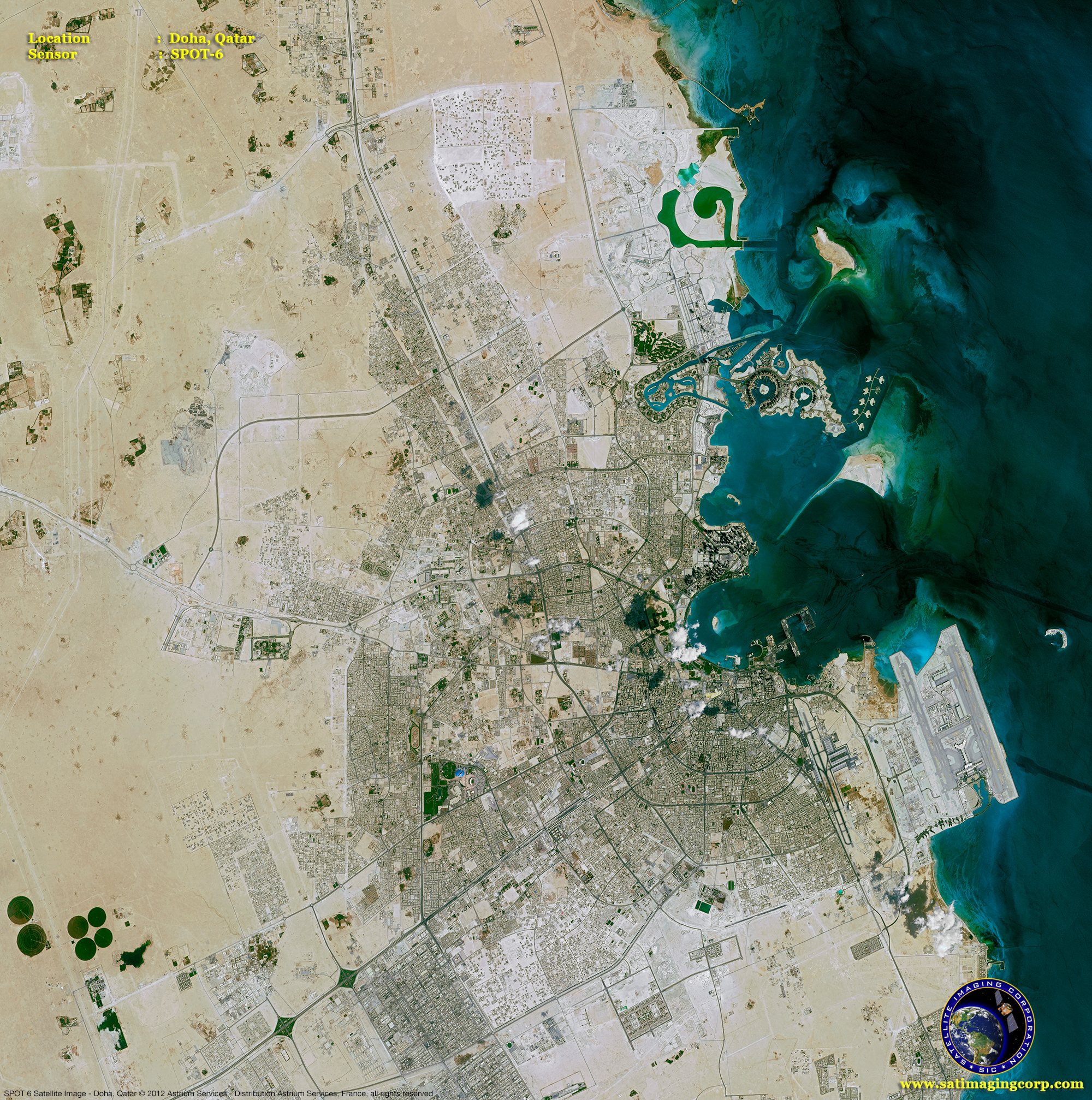
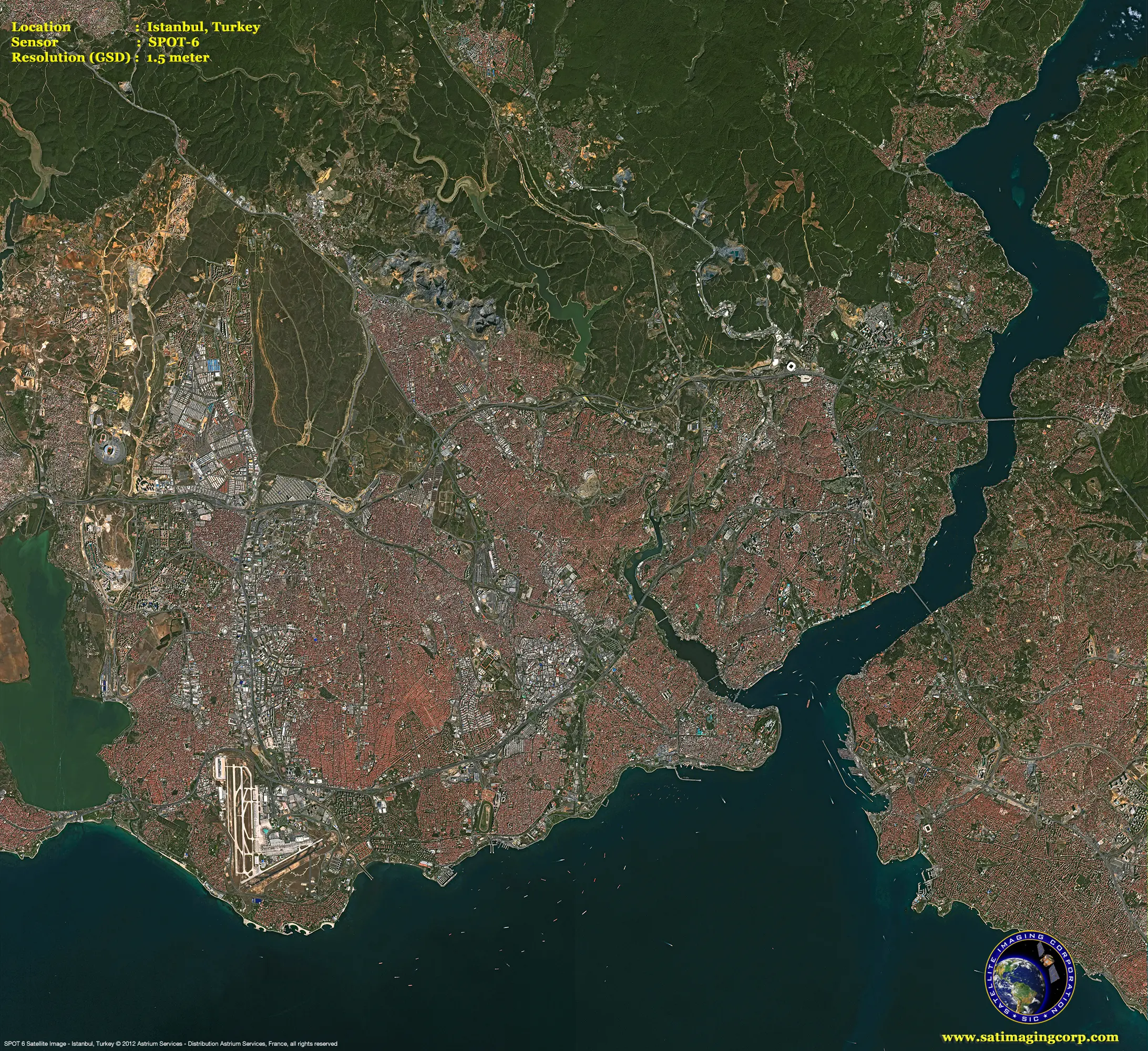
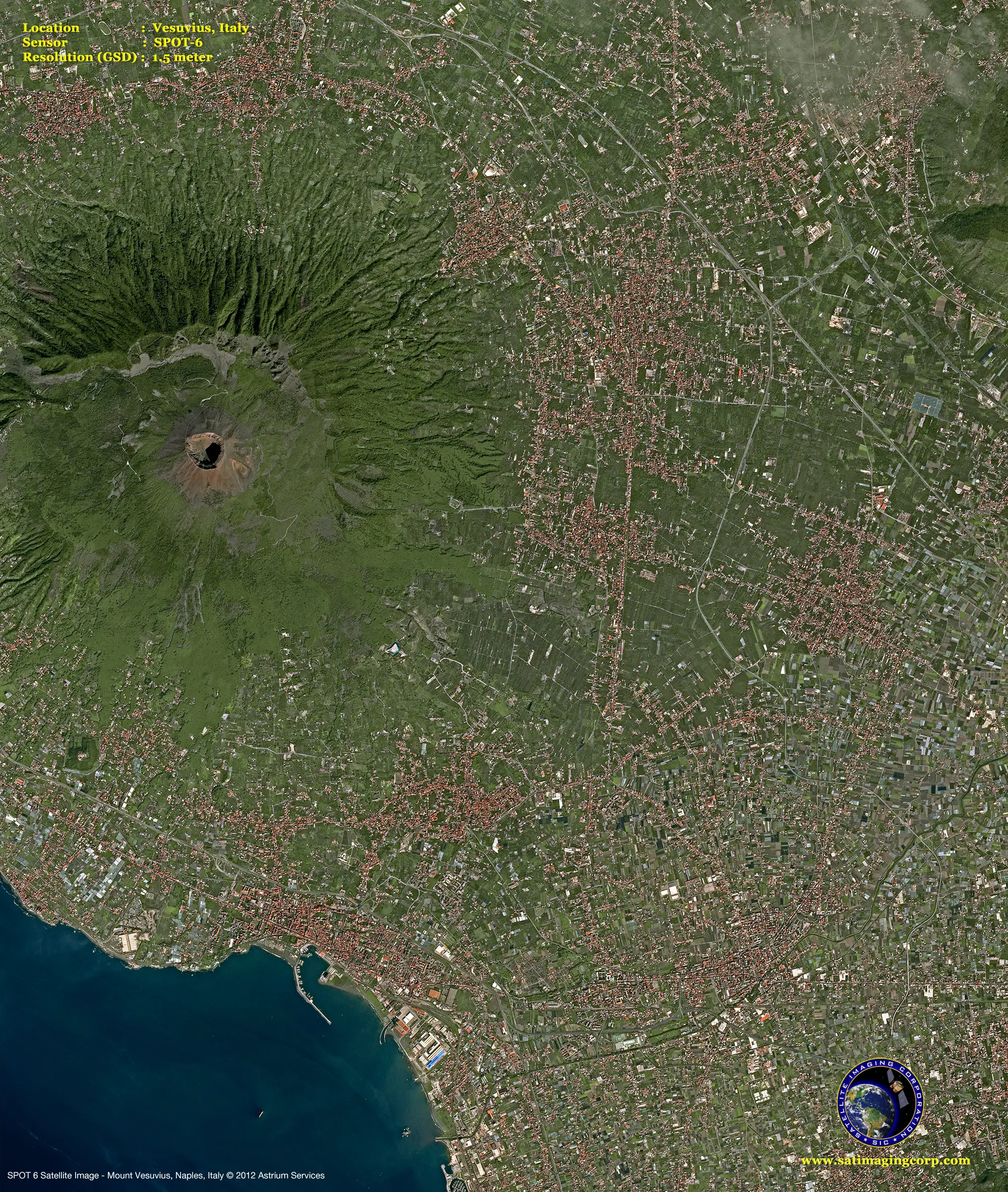
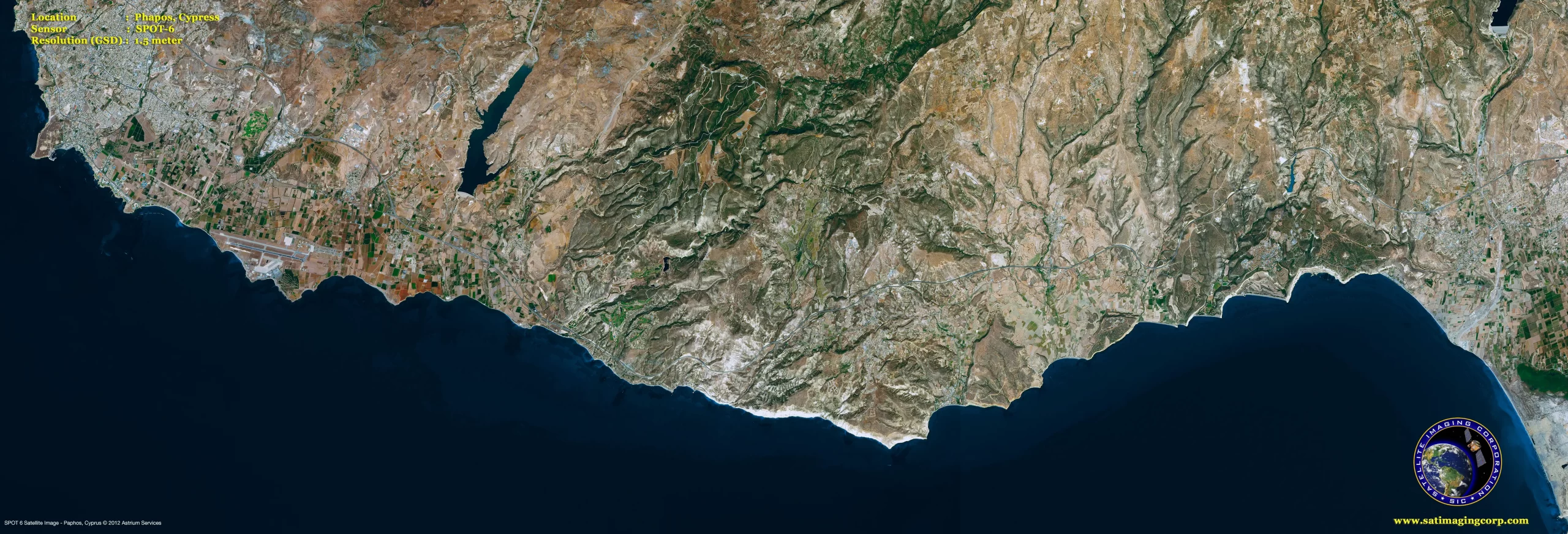
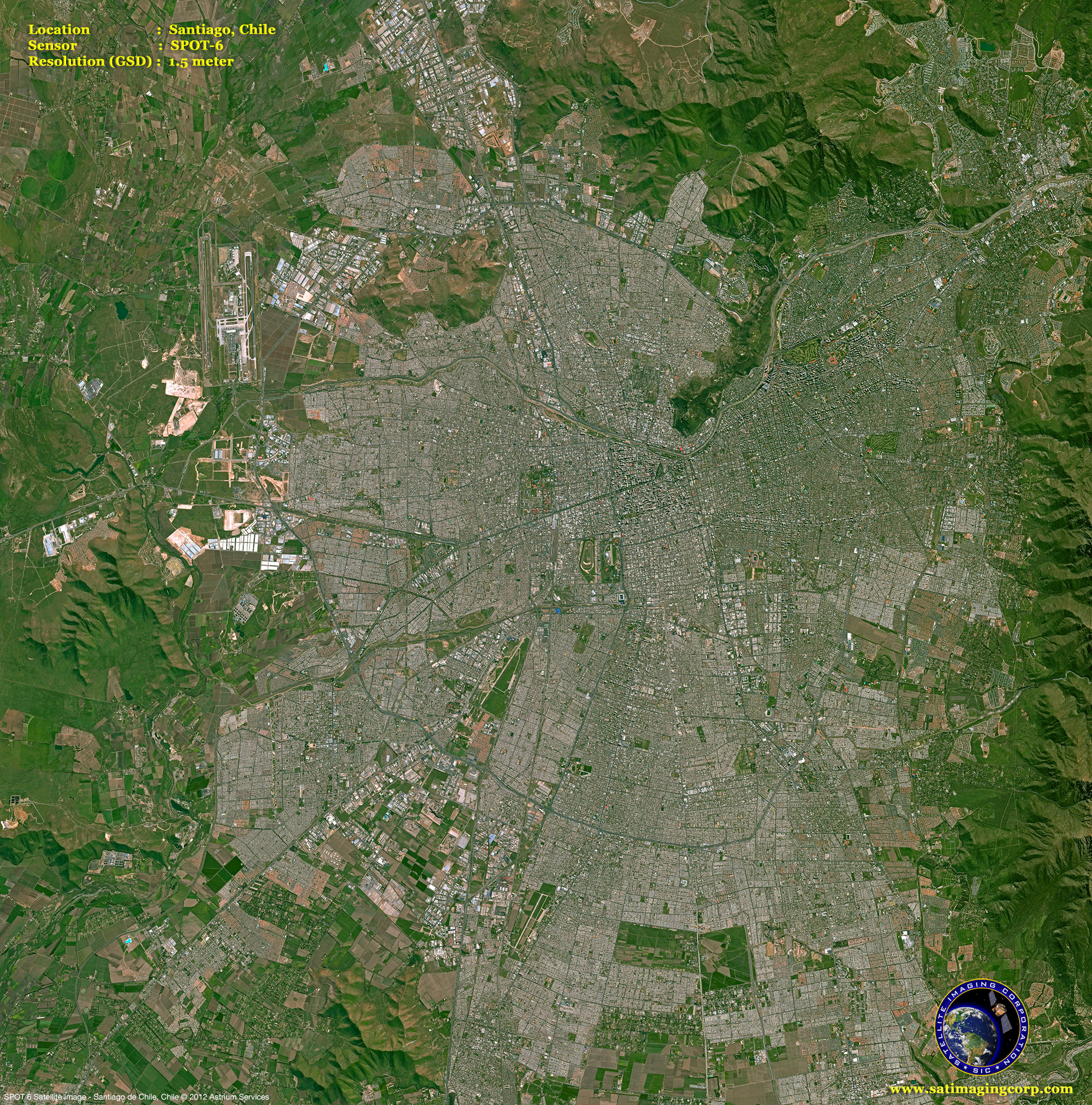
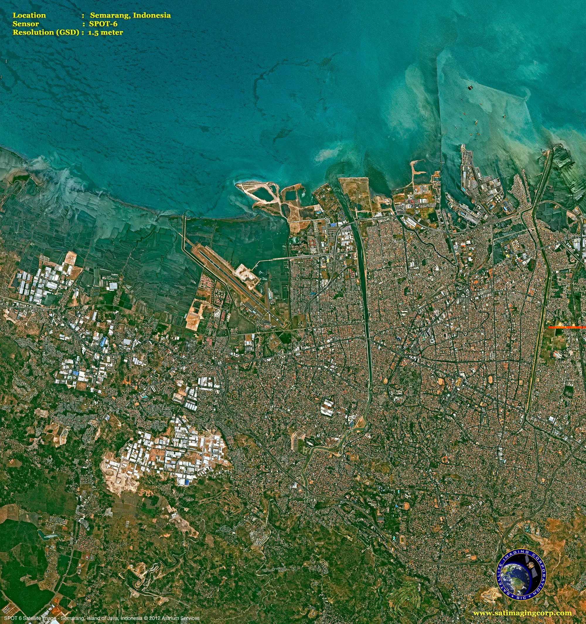
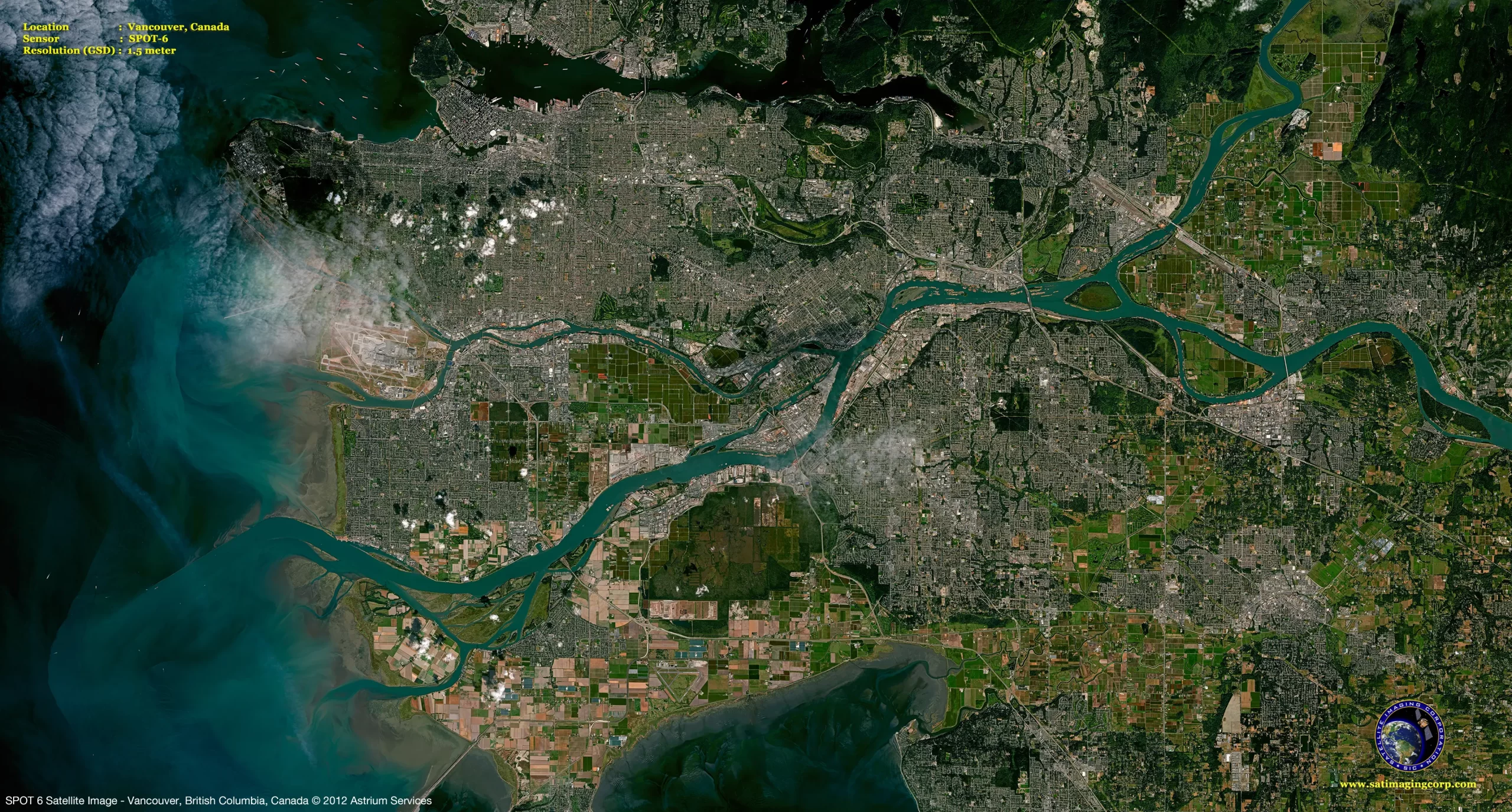
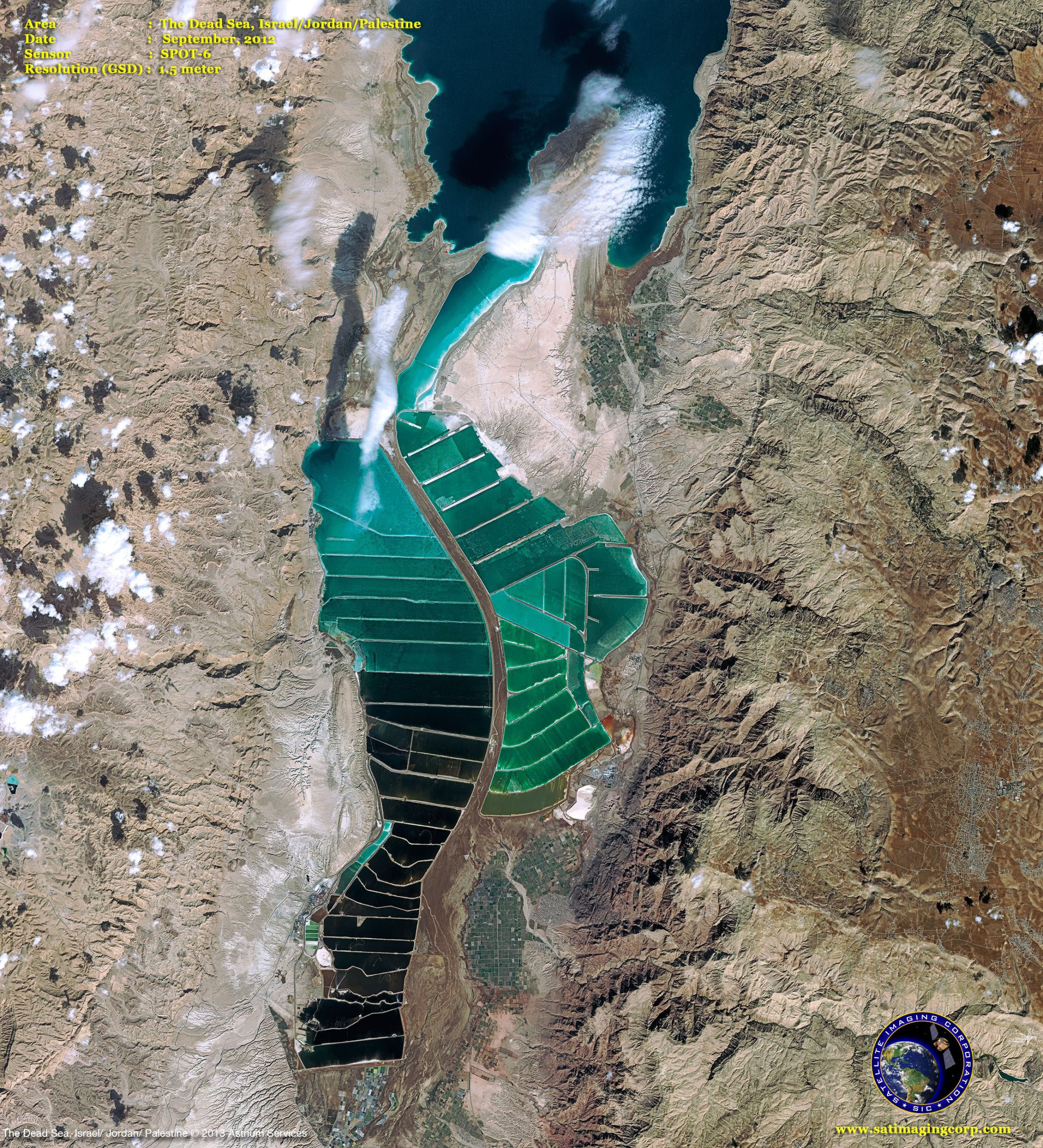
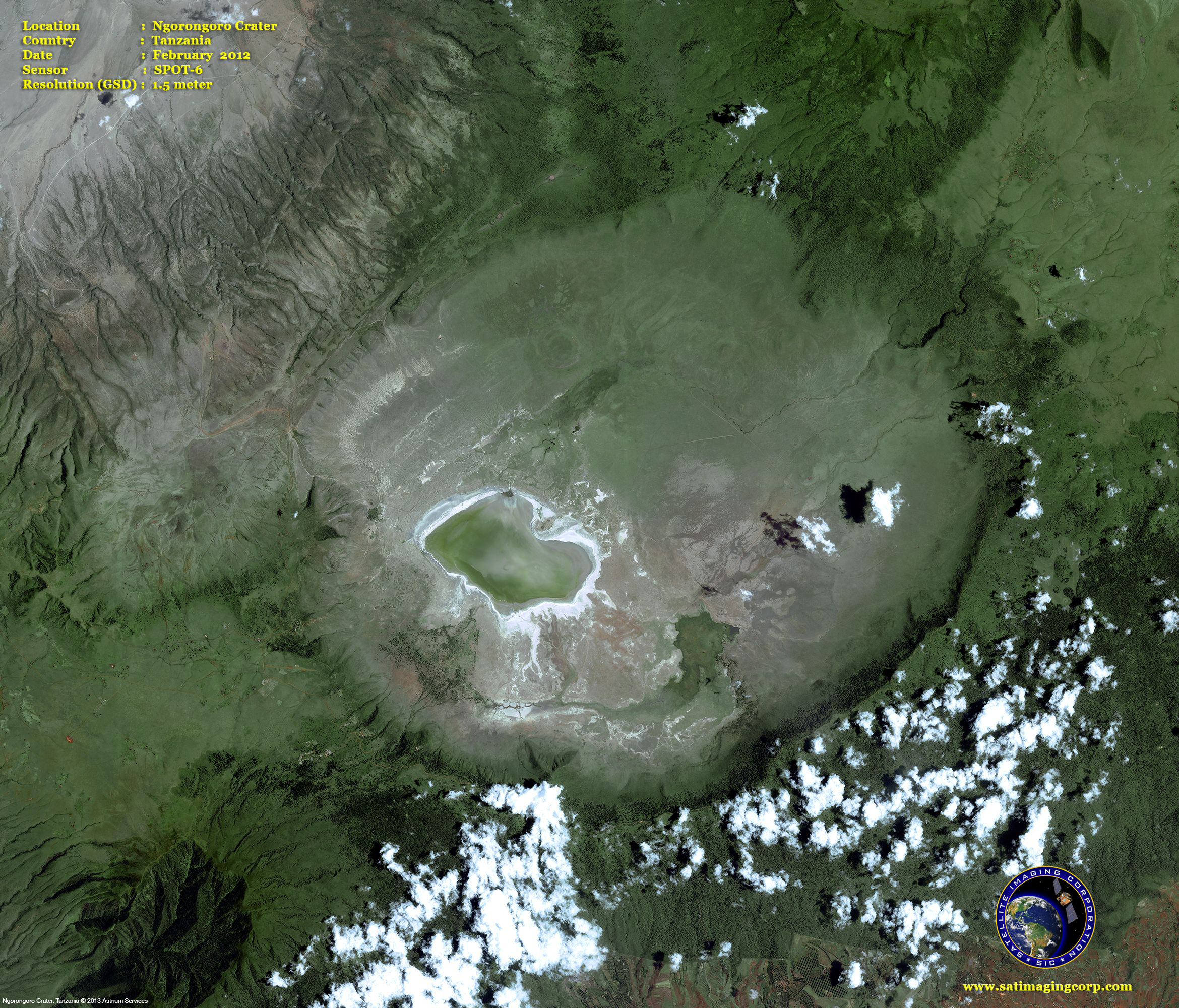
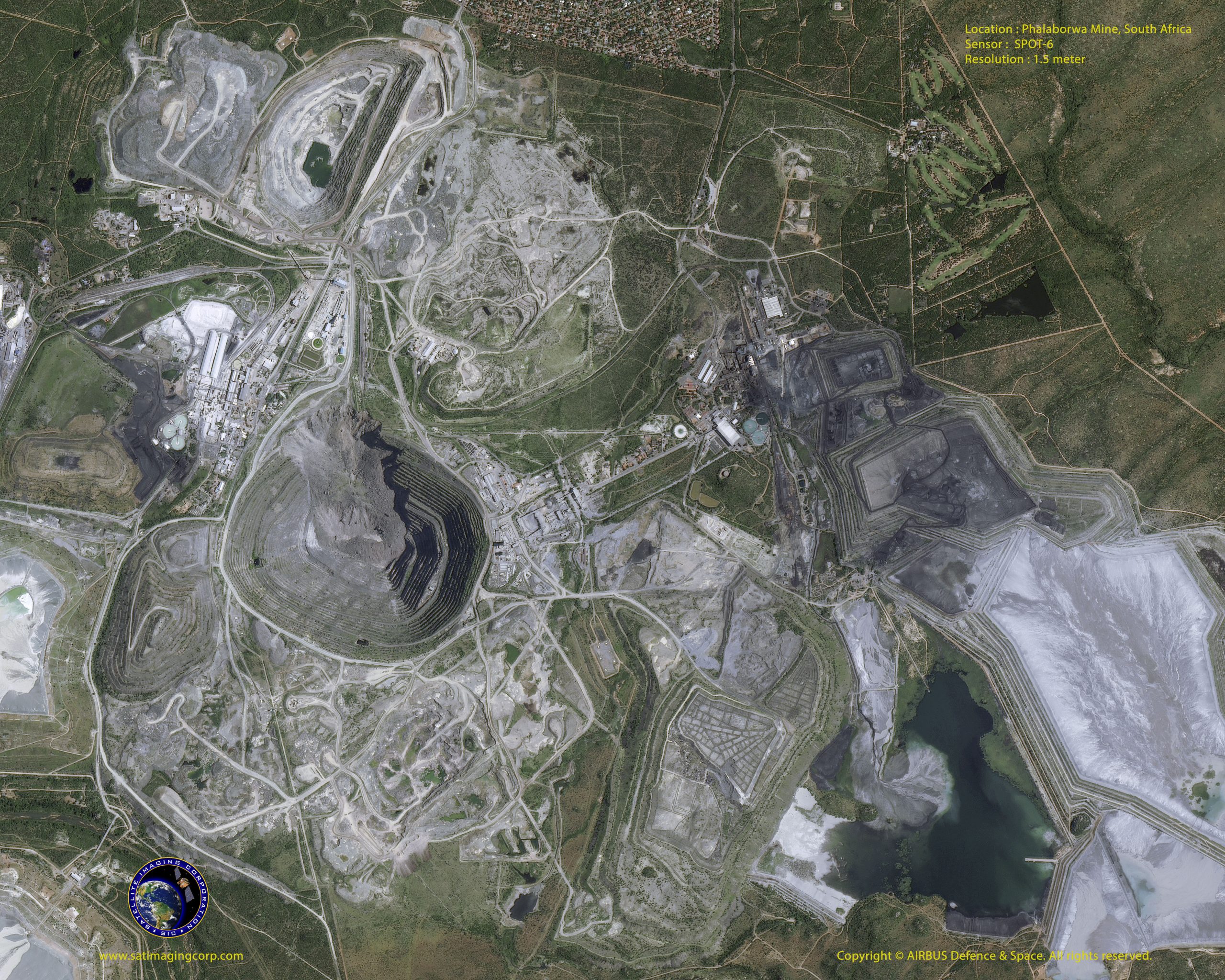
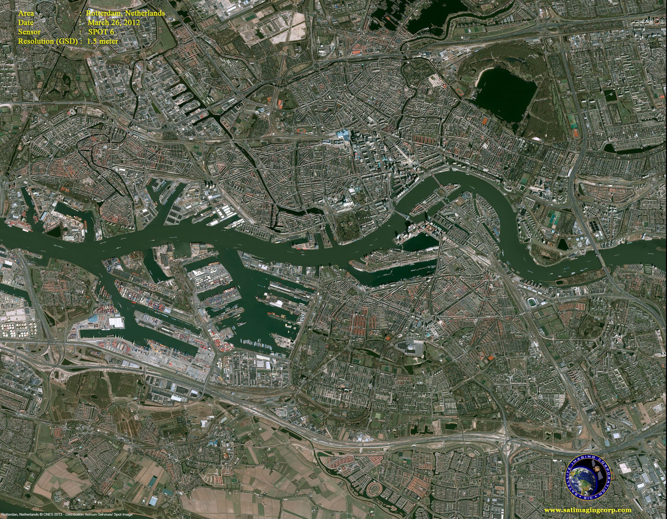
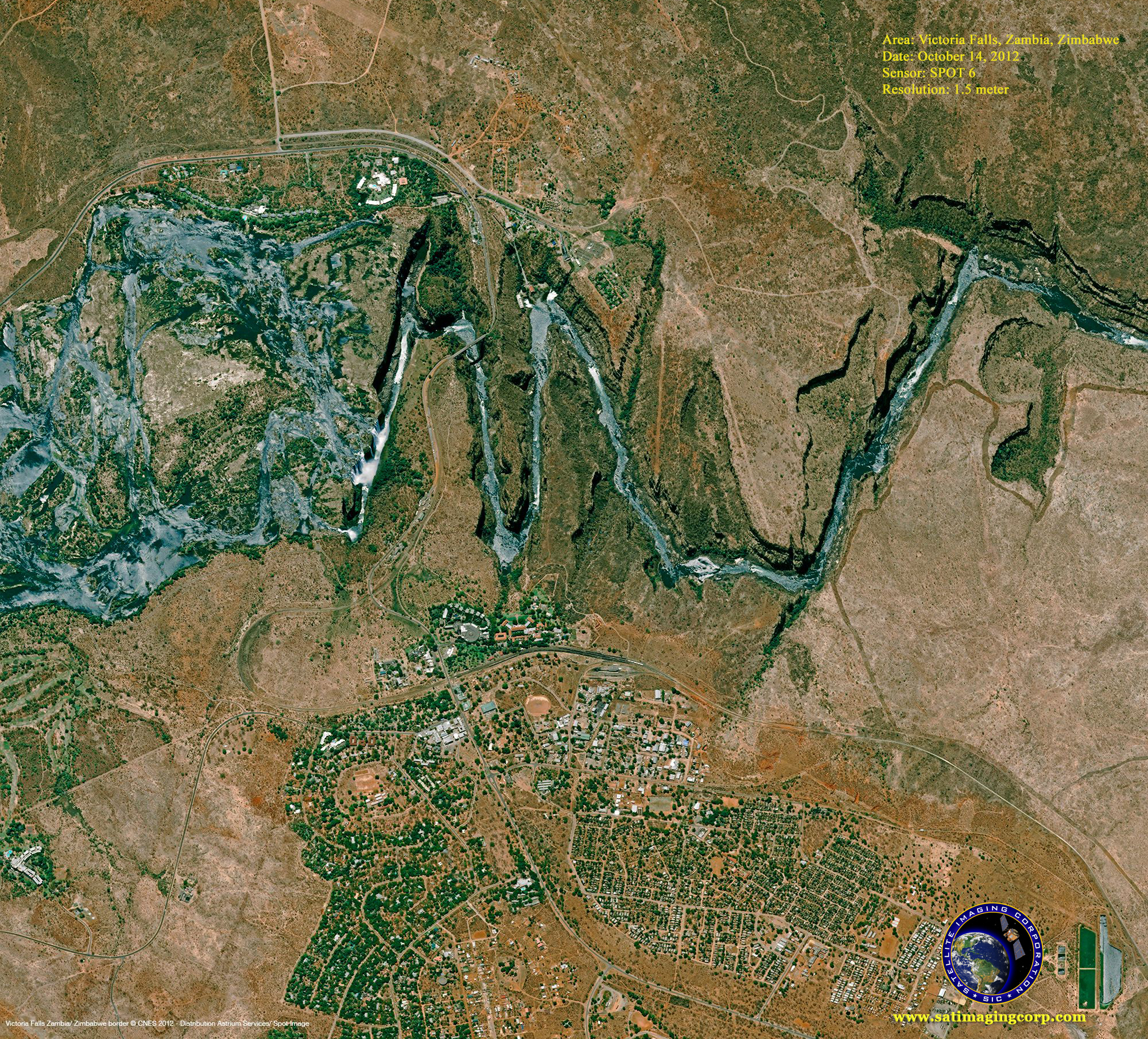
Sample Images
SPOT-6 Satellite Image Gallery
* Click on thumbnail to view in full resolution.
For more information on any of our products and image processing services, please contact us for a complimentary consultation.
SPOT-6 Satellite Sensor Specifications
Launch Date
September 9, 2012
Launch Vehicle
PSLV
Launch Location
Satish Dhawan Space Center (India)
Multispectral Imagery (4 bands)
Blue (0.455 µm – 0.525 µm)
Green (0.530 µm – 0.590 µm)
Red (0.625 µm – 0.695 µm)
Near-Infrared (0.760 µm – 0.890 µm)
Resolution (GSD)
Panchromatic – 1.5m
Multispectral – 6.0m (B,G,R,NIR)
Location Accuracy
10m (CE90)
Imaging Swath
60 Km at Nadir


