QuickBird Satellite Sensor
(0.65m) - Decommissioned
MAXAR’s QuickBird satellite sensor was successfully launched on October 18, 2001, at Vandenberg Air Force Base, California, USA.
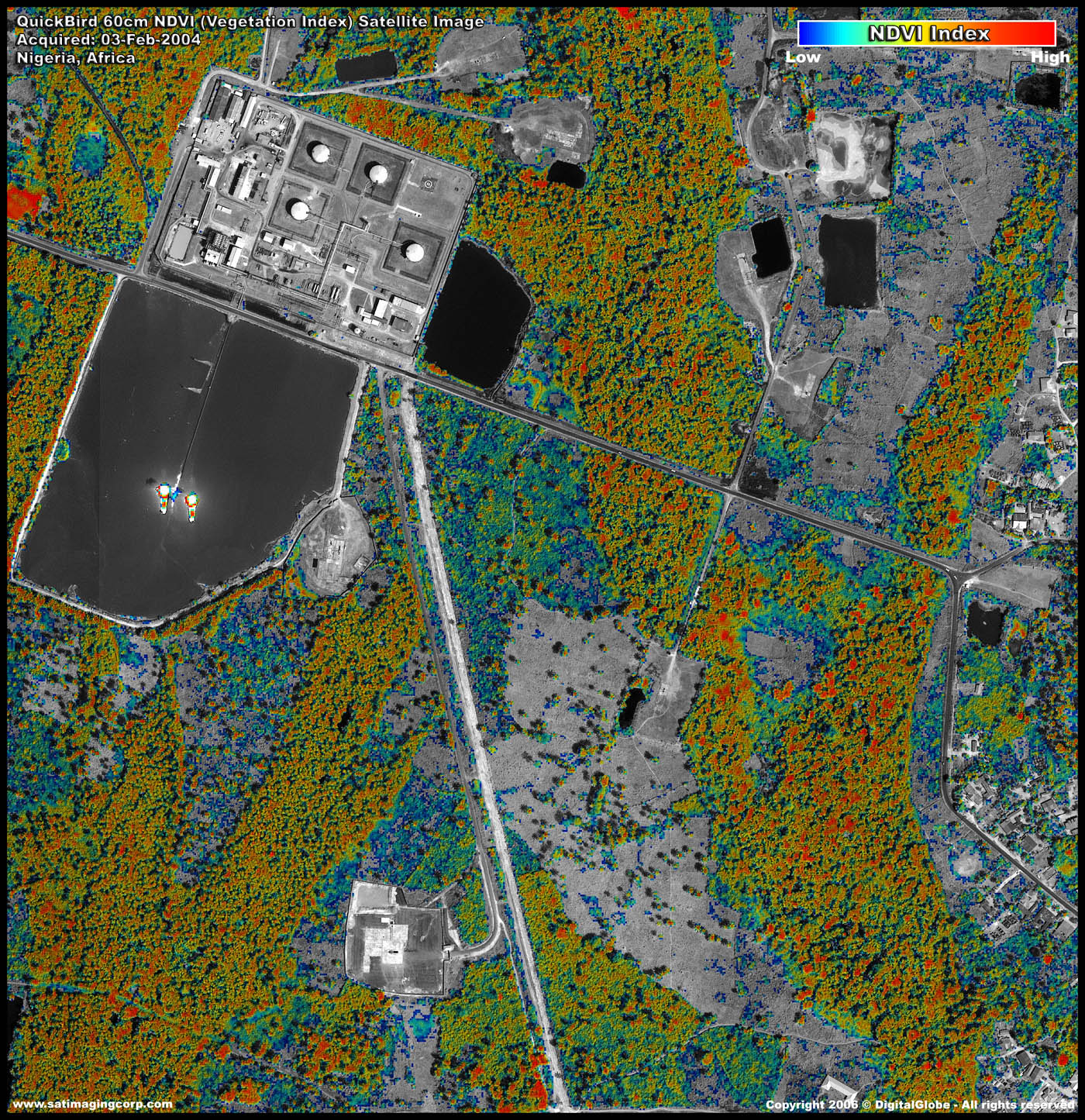
Using a state-of-the-art BGIS 2000 sensor (PDF), QuickBird satellite collected image data to 0.65m pixel resolution degree of detail. This satellite was an excellent source of environmental data useful for analyses of changes in land usage, agriculture, and forest climates. QuickBird’s imaging capabilities had applied to a host of industries, including oil and gas exploration and production (E&P), engineering and construction and environmental studies.
QuickBird Satellite Sensor (0.651m)

Copyright © MAXAR. All rights reserved.
QuickBird Satellite Switched Off
On January 27, 2015, one of MAXAR’s oldest and most historically significant imaging satellites re-entered Earth’s atmosphere after completing its 13-year mission in orbit. QuickBird made more than 70,000 trips around the planet, capturing some 636 million square kilometers of high-resolution earth imagery that contributed to humanity’s understanding of our changing planet.
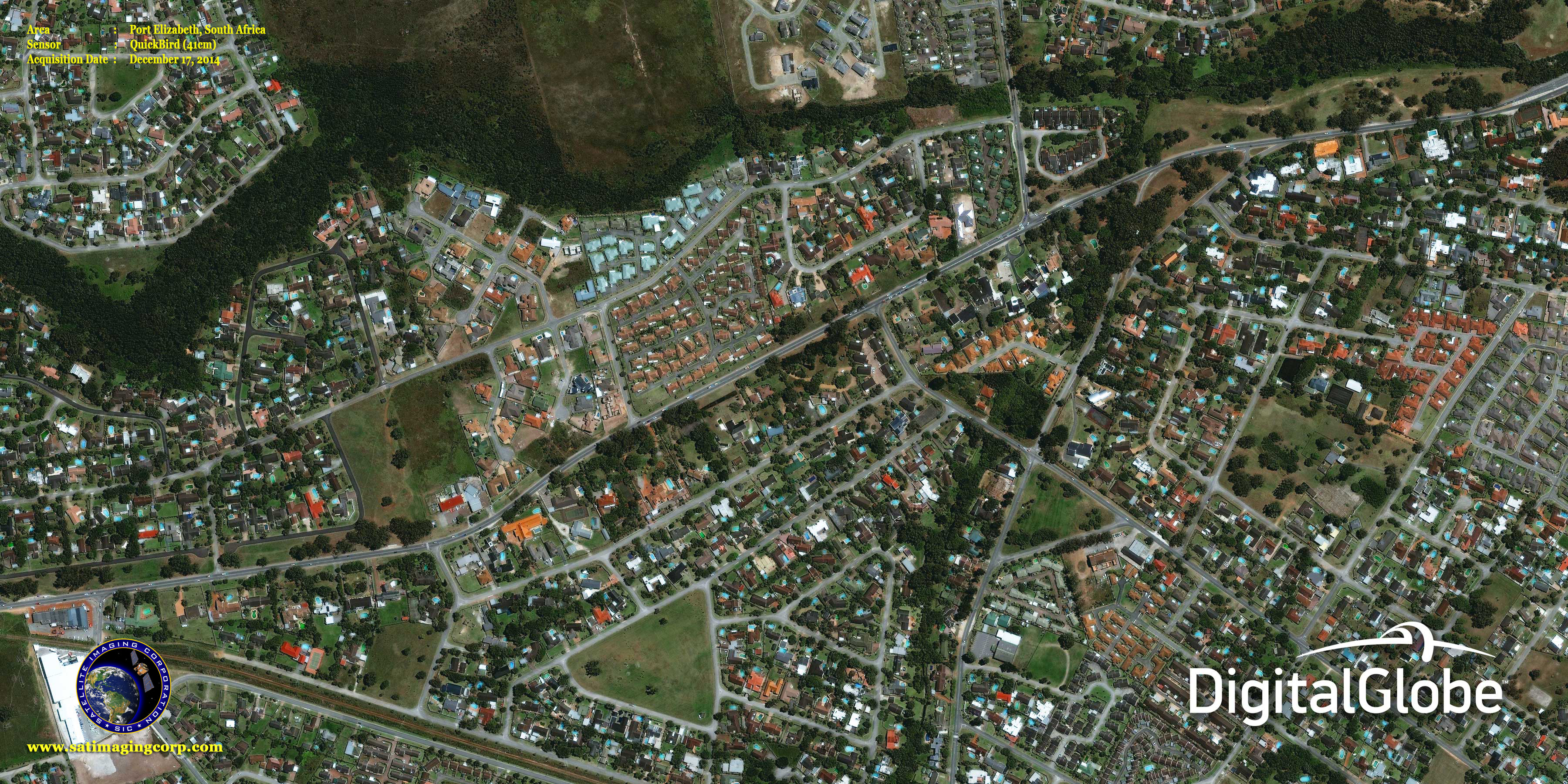
In its final orbit before its imager was turned off, QuickBird captured a stunning view of Port Elizabeth, South Africa, on December 17, 2014, available in the gallery page. The satellite’s orbit had decayed to approximately 300 kilometers, resulting in an image with incredible ground resolution of 41 cm.
Ball Aerospace & Technologies Corp. developed QuickBird, which was the highest resolution commercial satellite at the time, as well as MAXAR’s subsequent WorldView-1, WorldView-2, and WorldView-3 satellites. QuickBird played a key role in the establishment of the commercial remote sensing industry and helped pave the way for what is now the world’s most capable imaging satellite constellation.
QuickBird imagery dating back to 2002 will remain available in the QuickBird imagery archives available here.
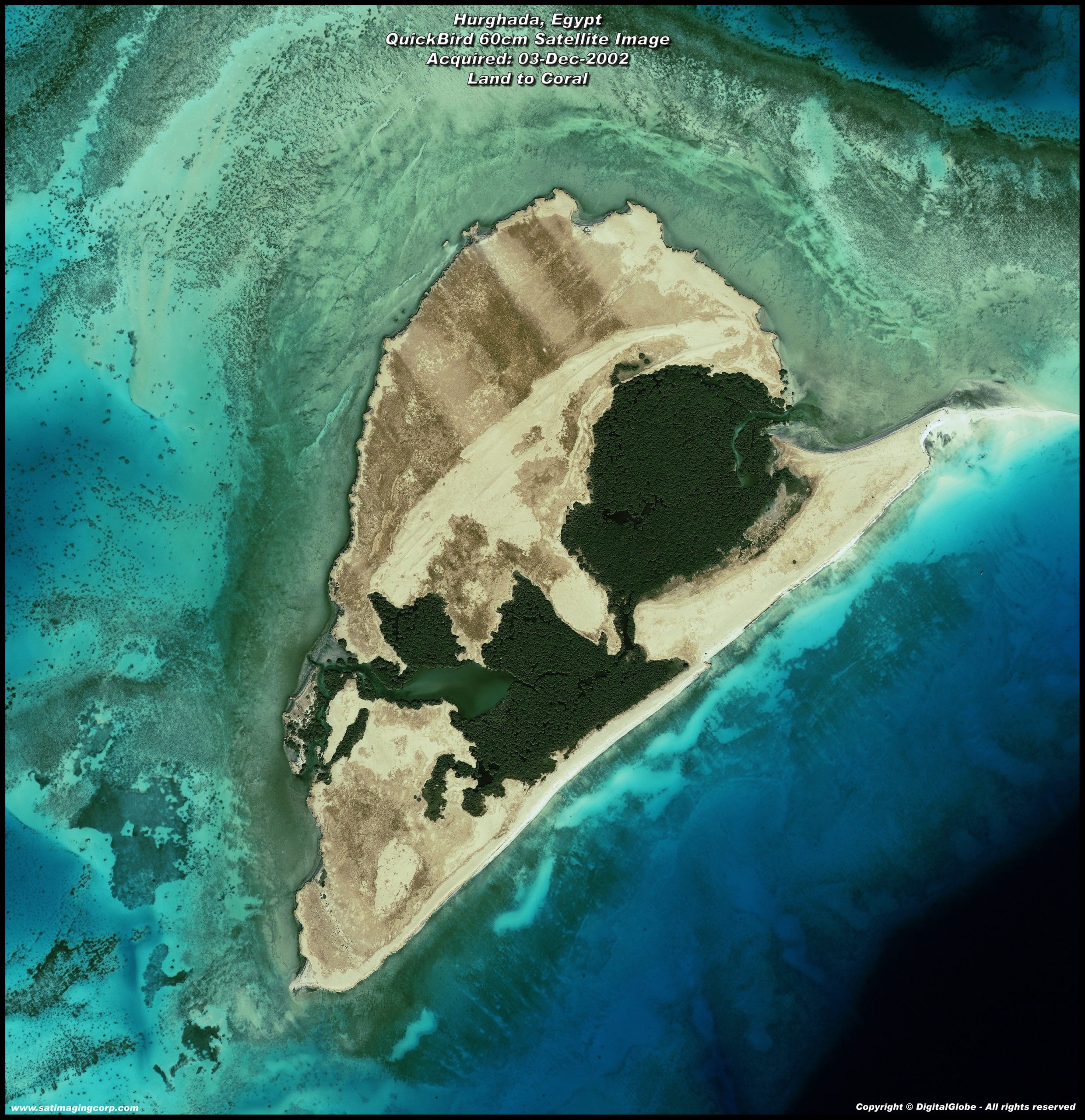
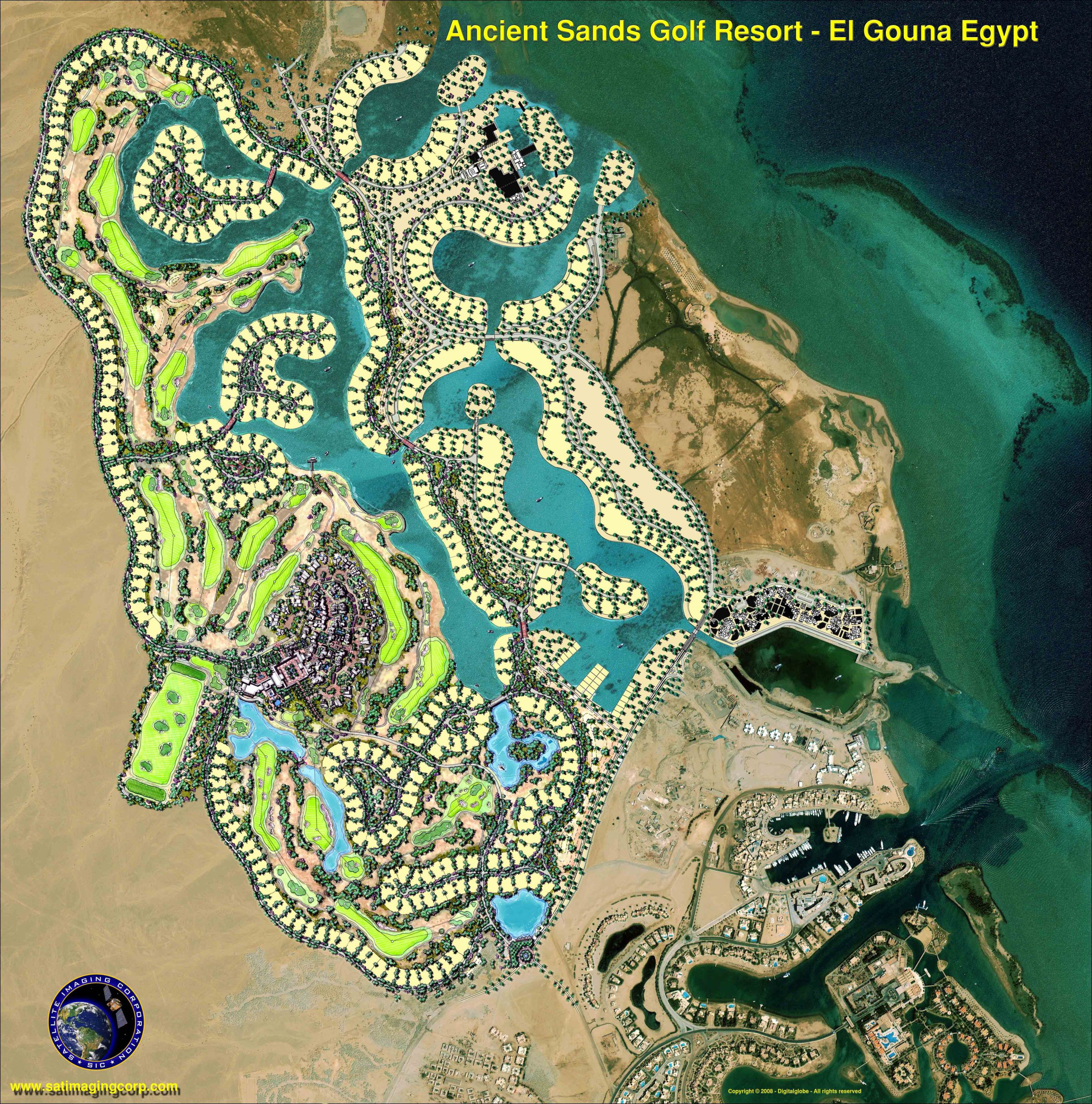
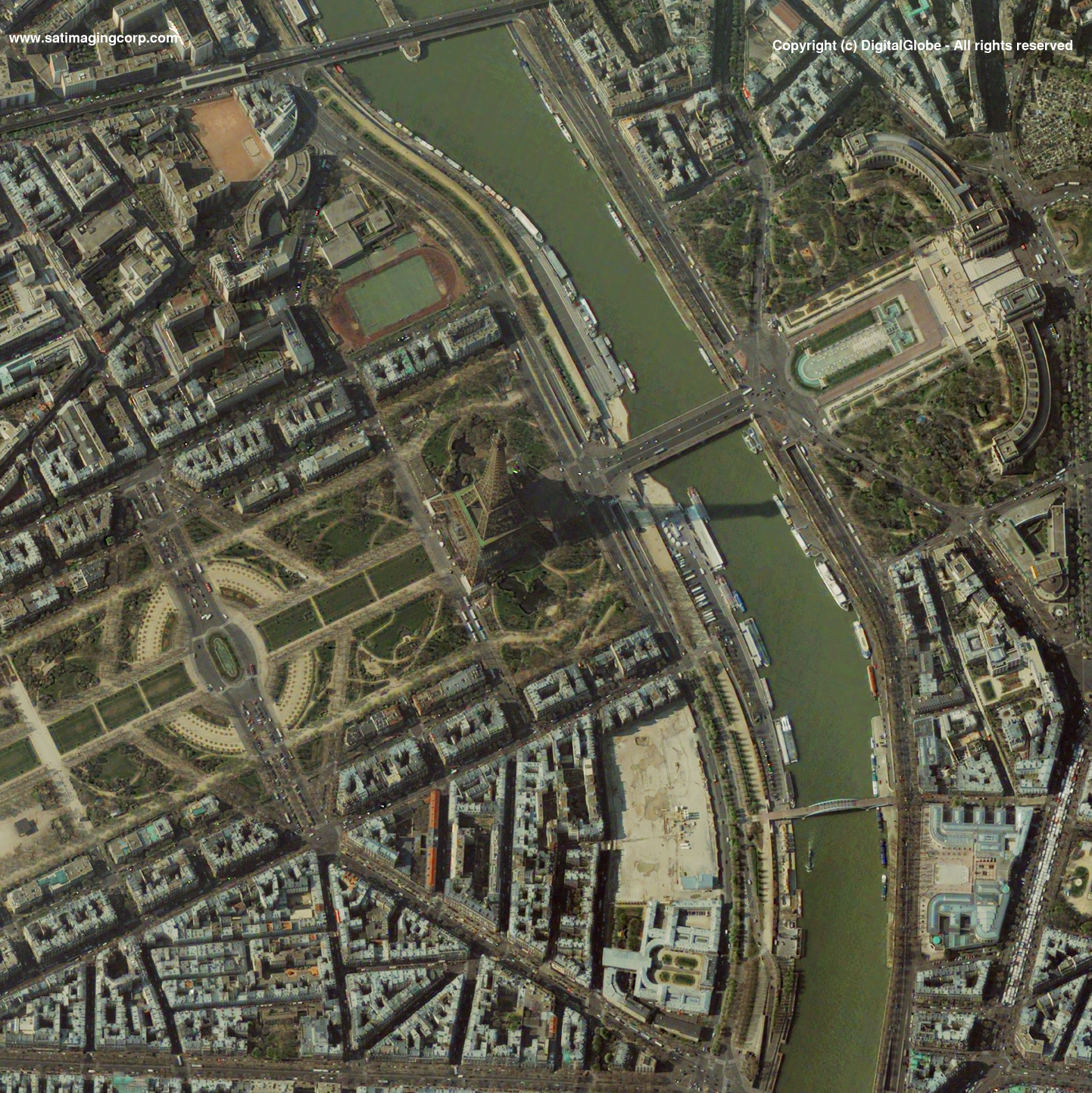
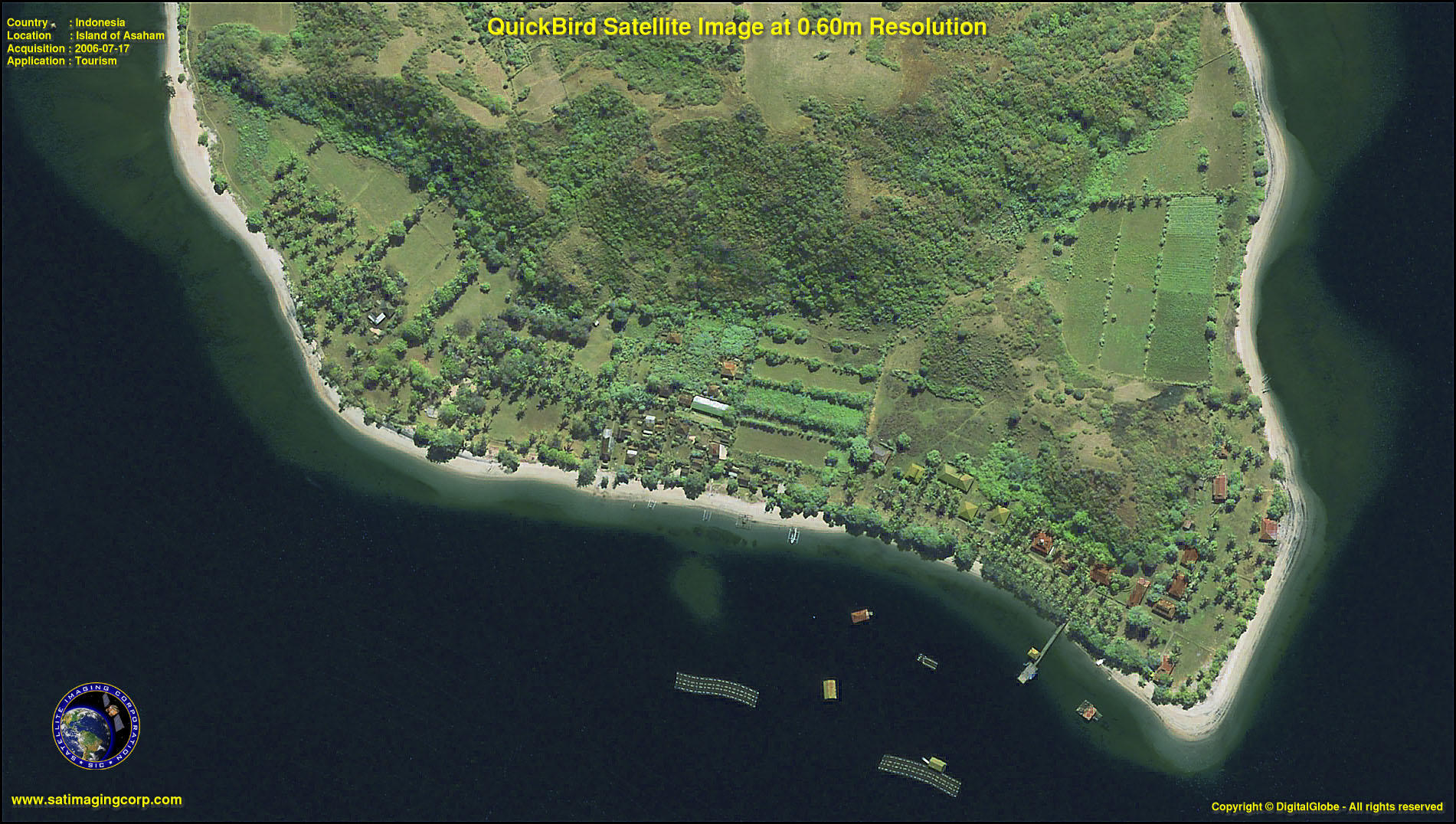
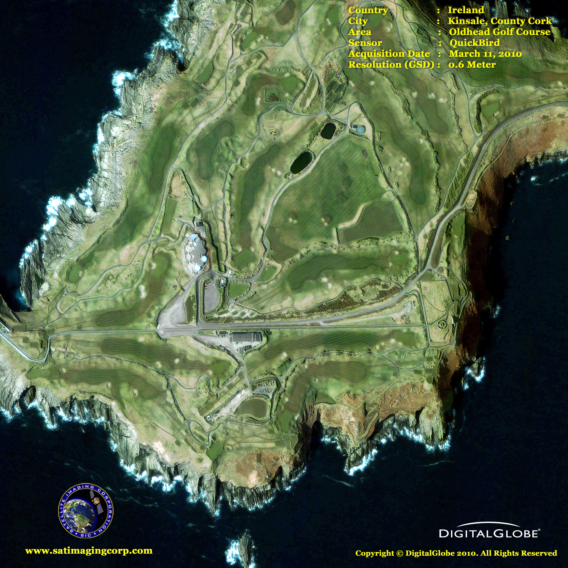
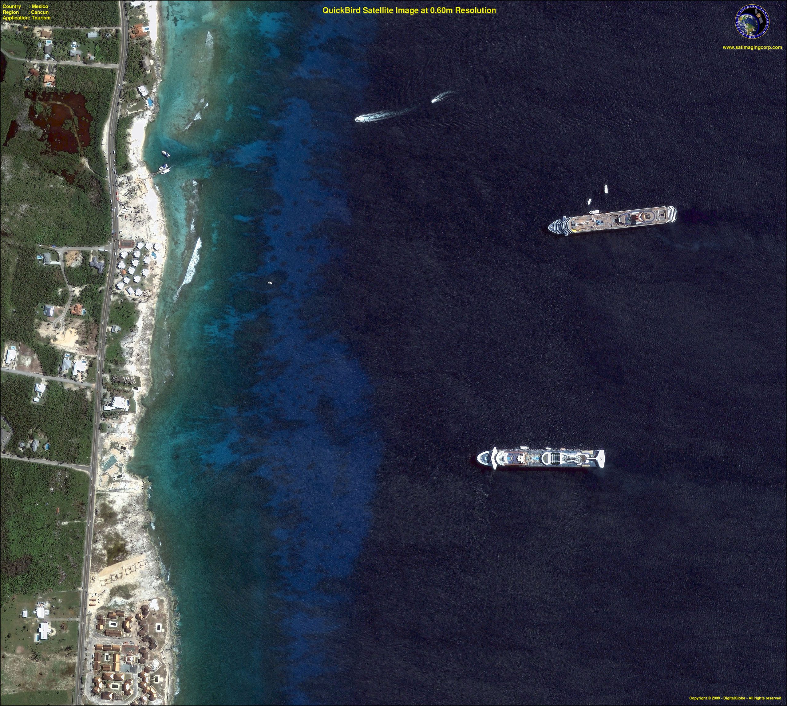
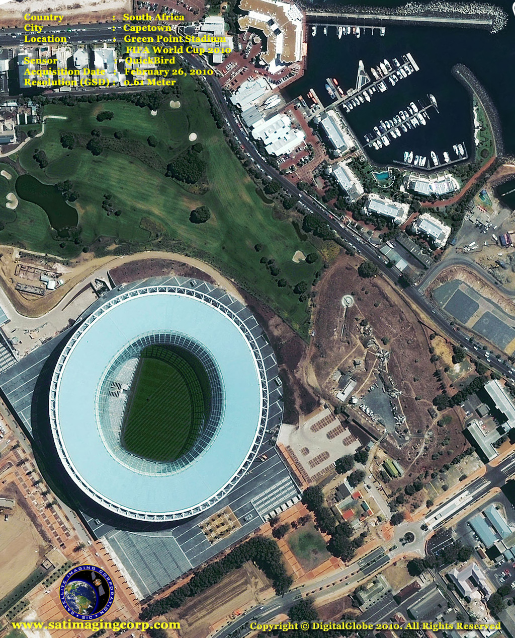
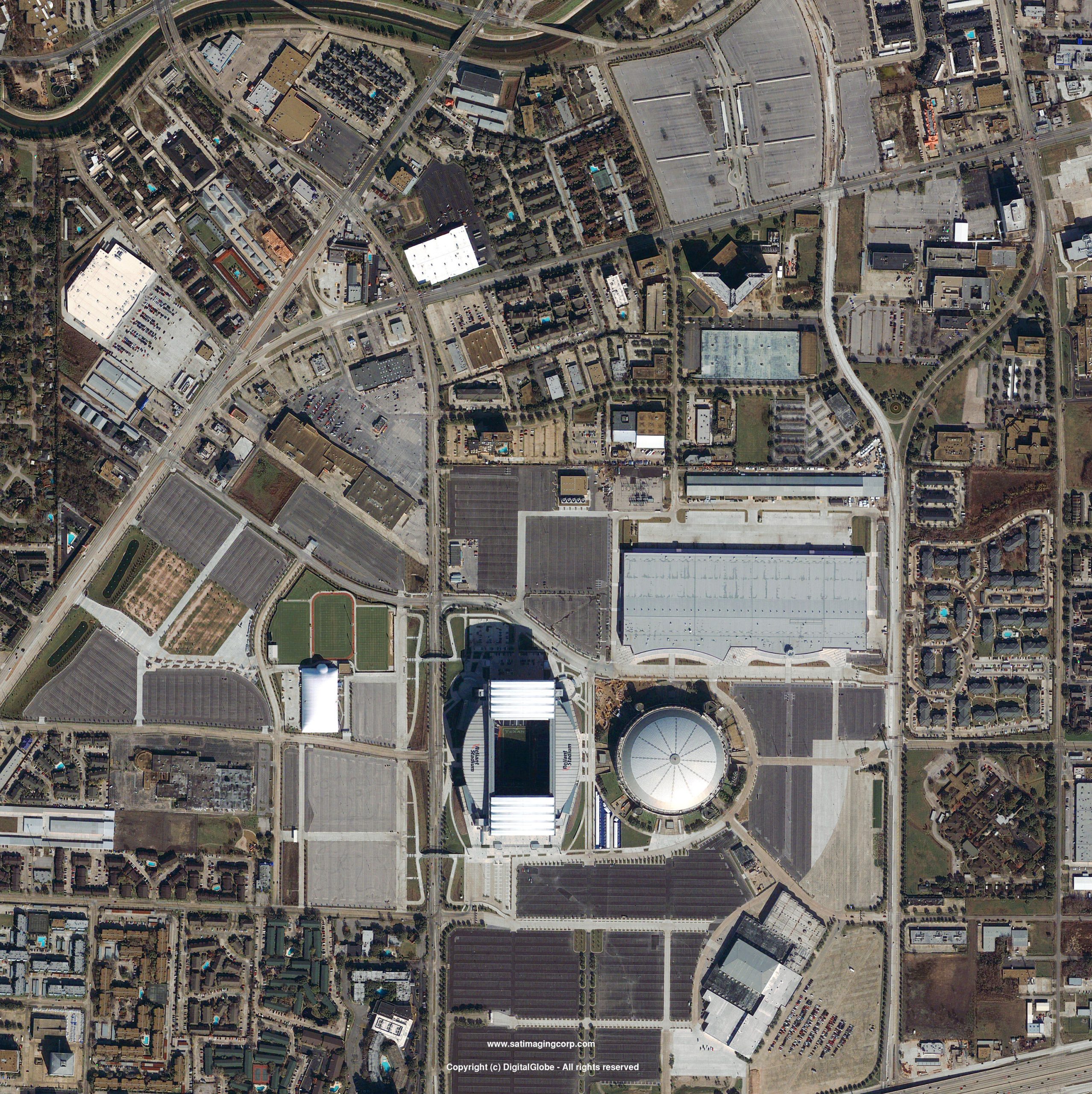
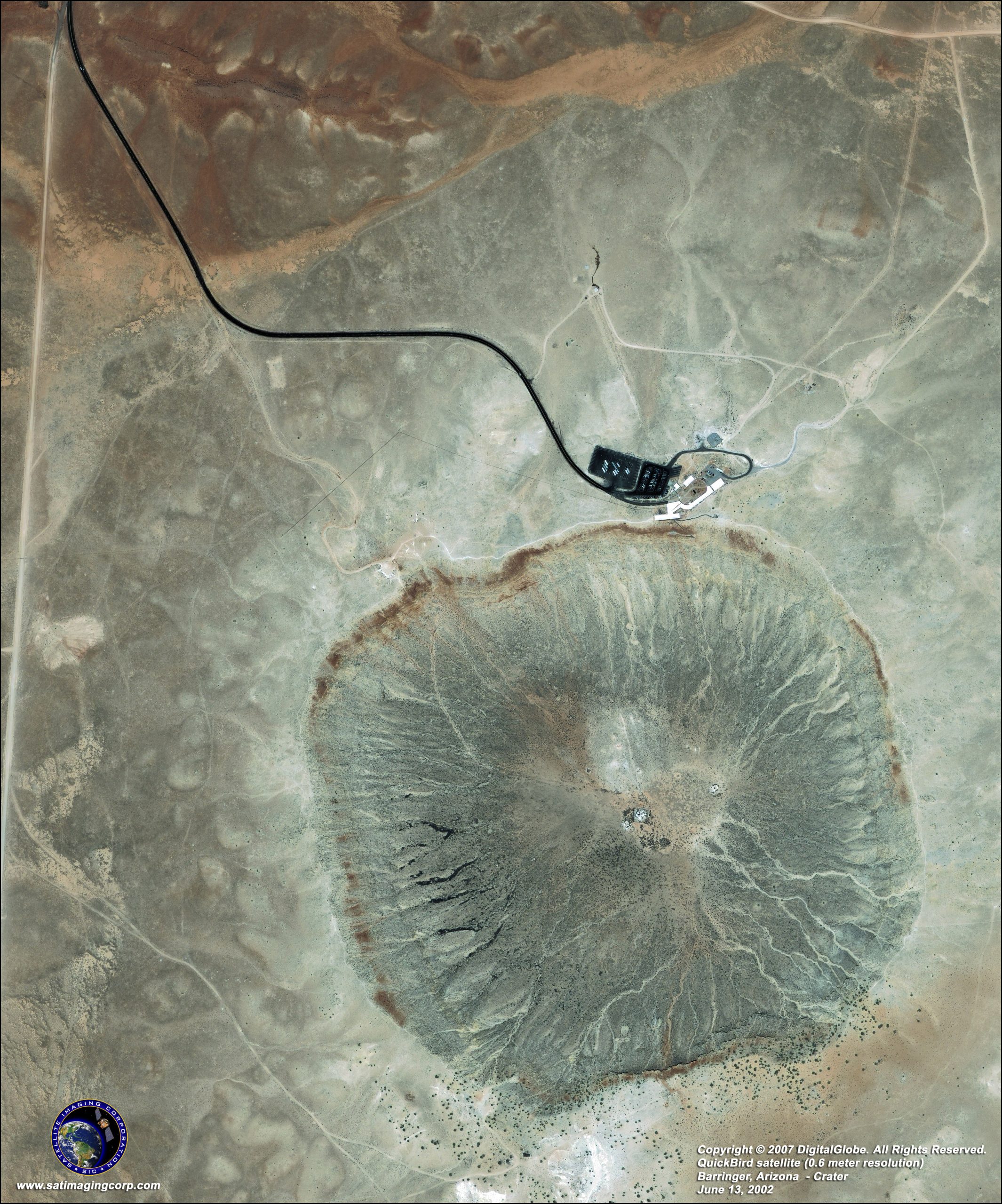
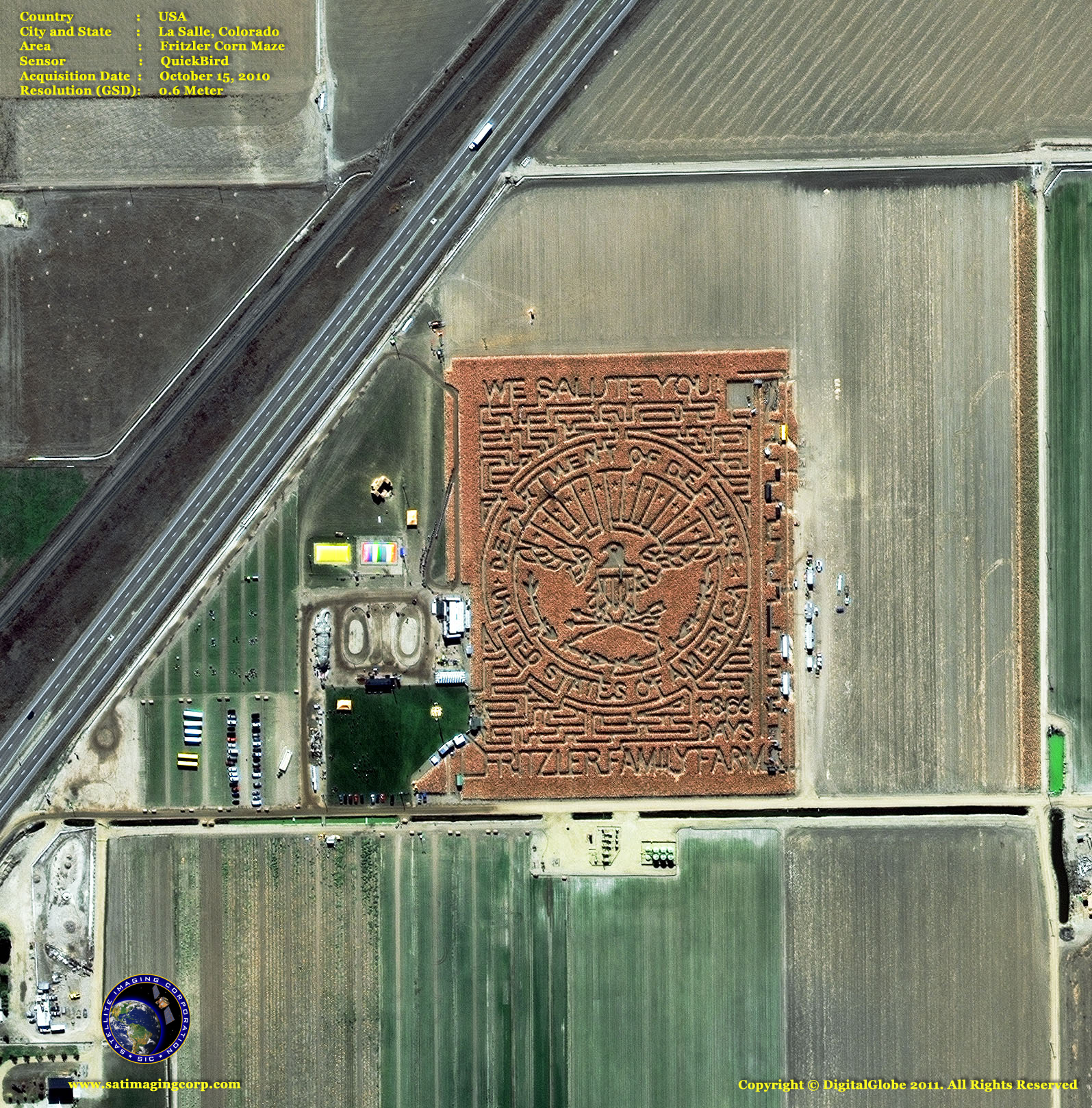
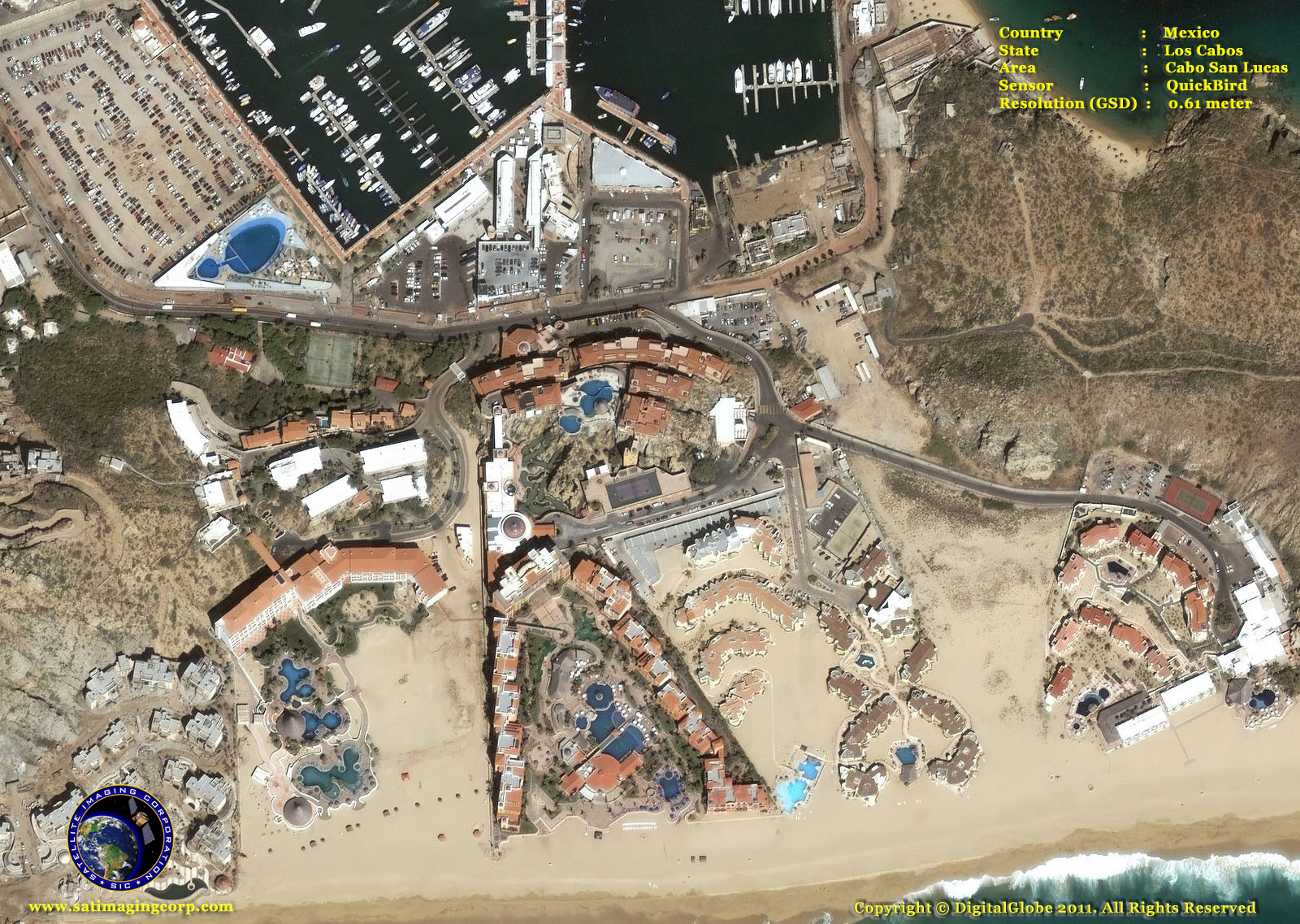
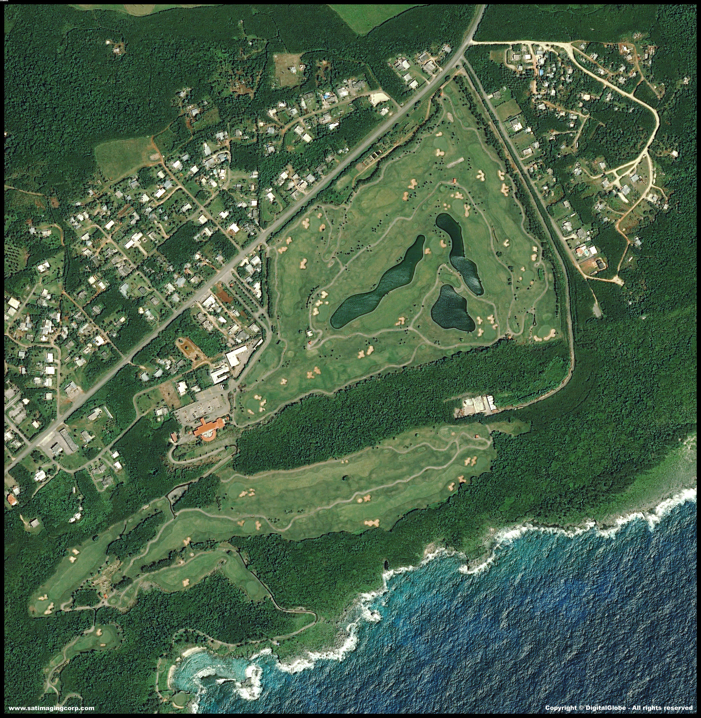
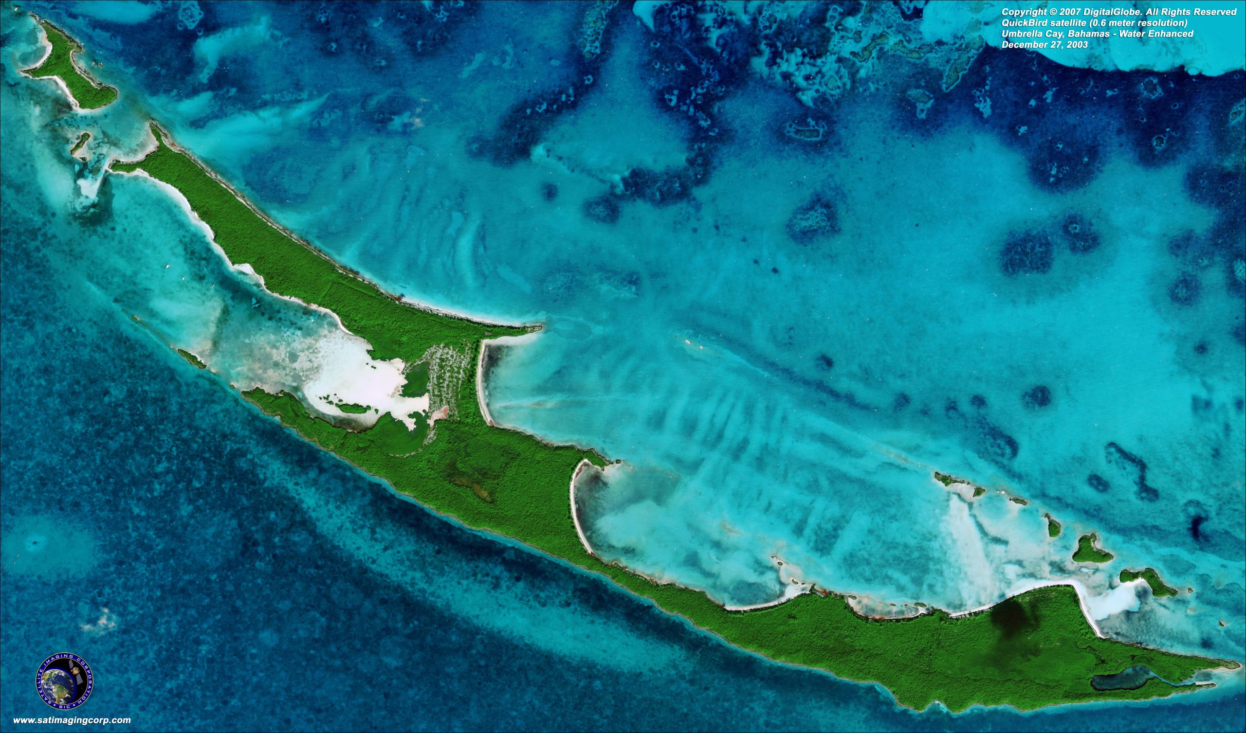
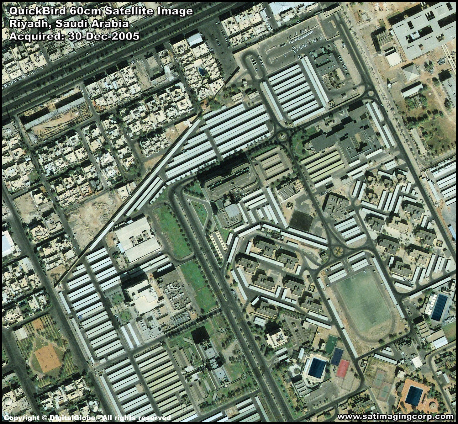
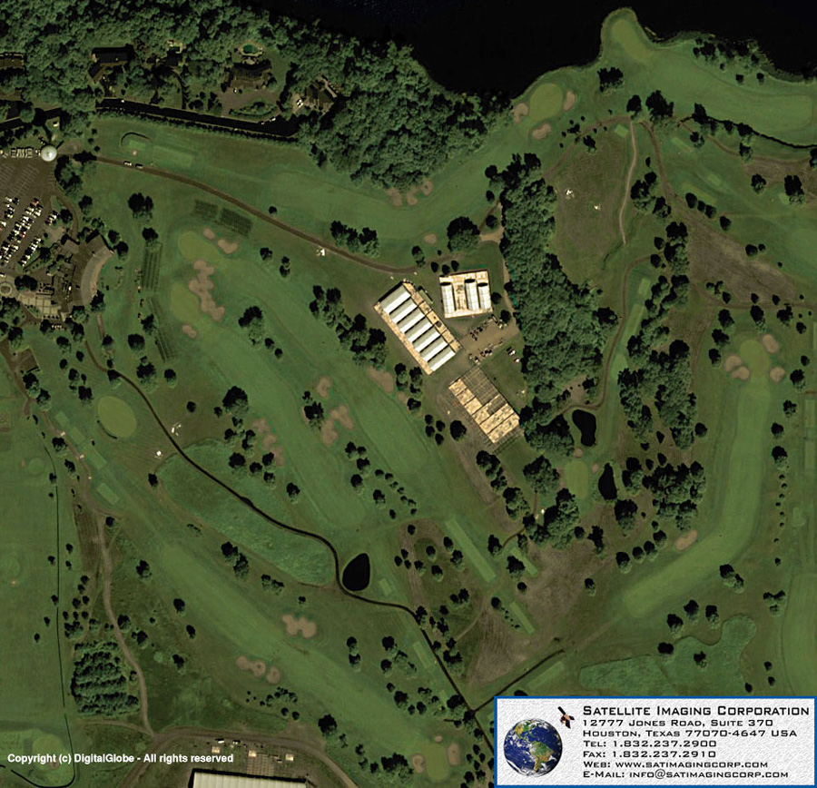
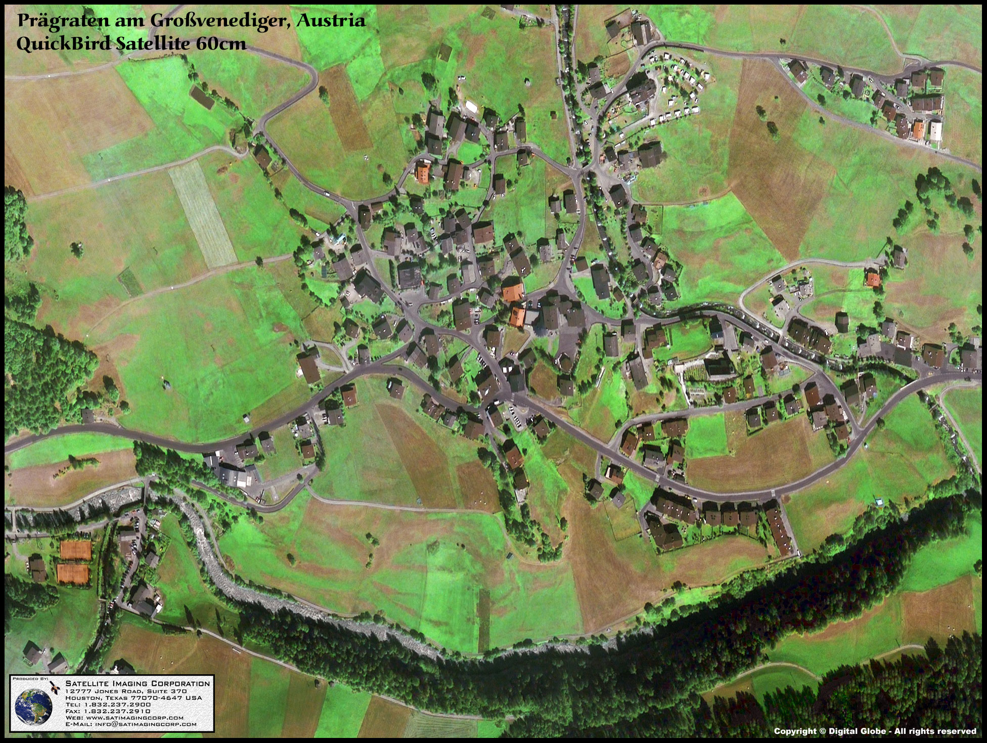
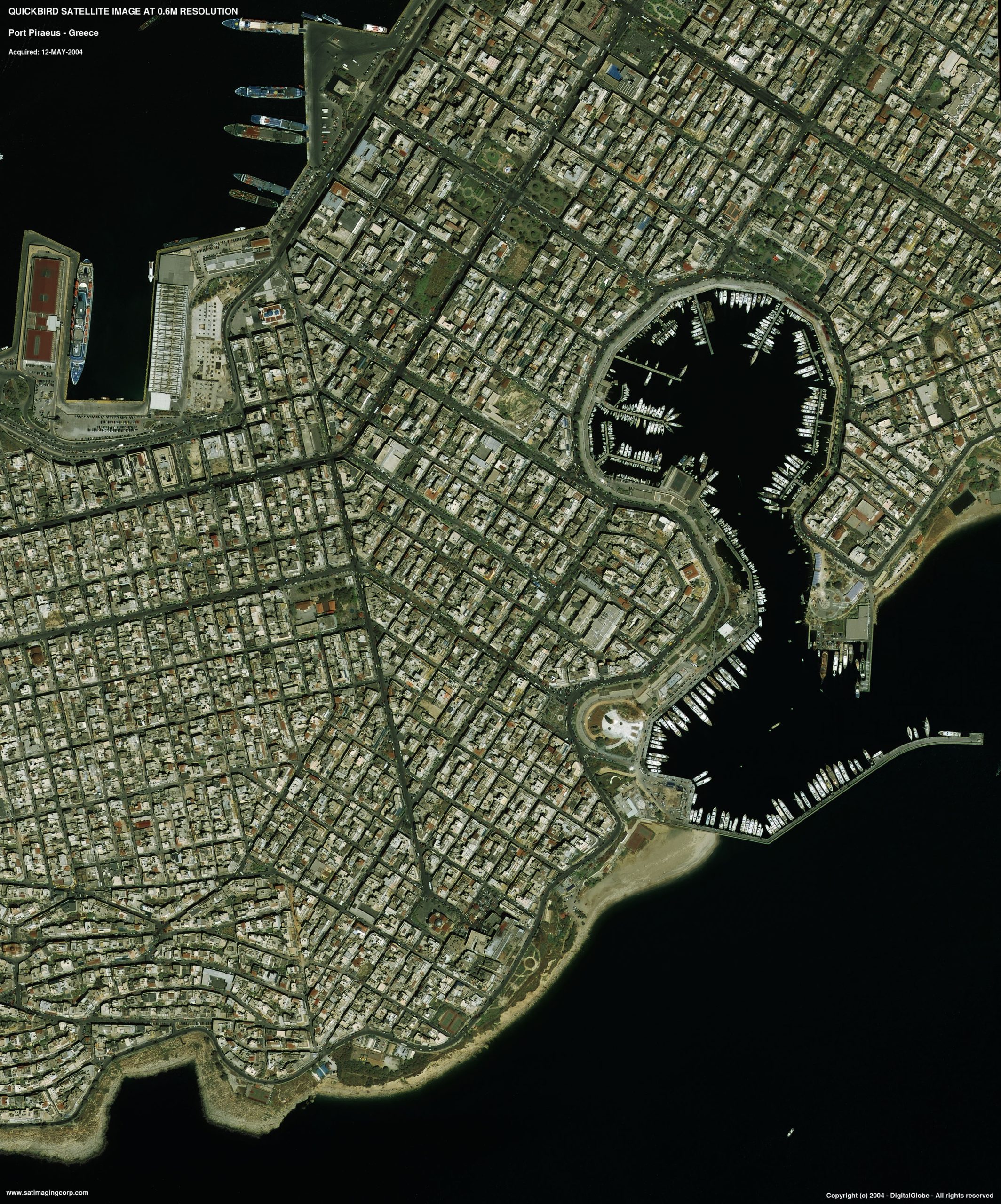
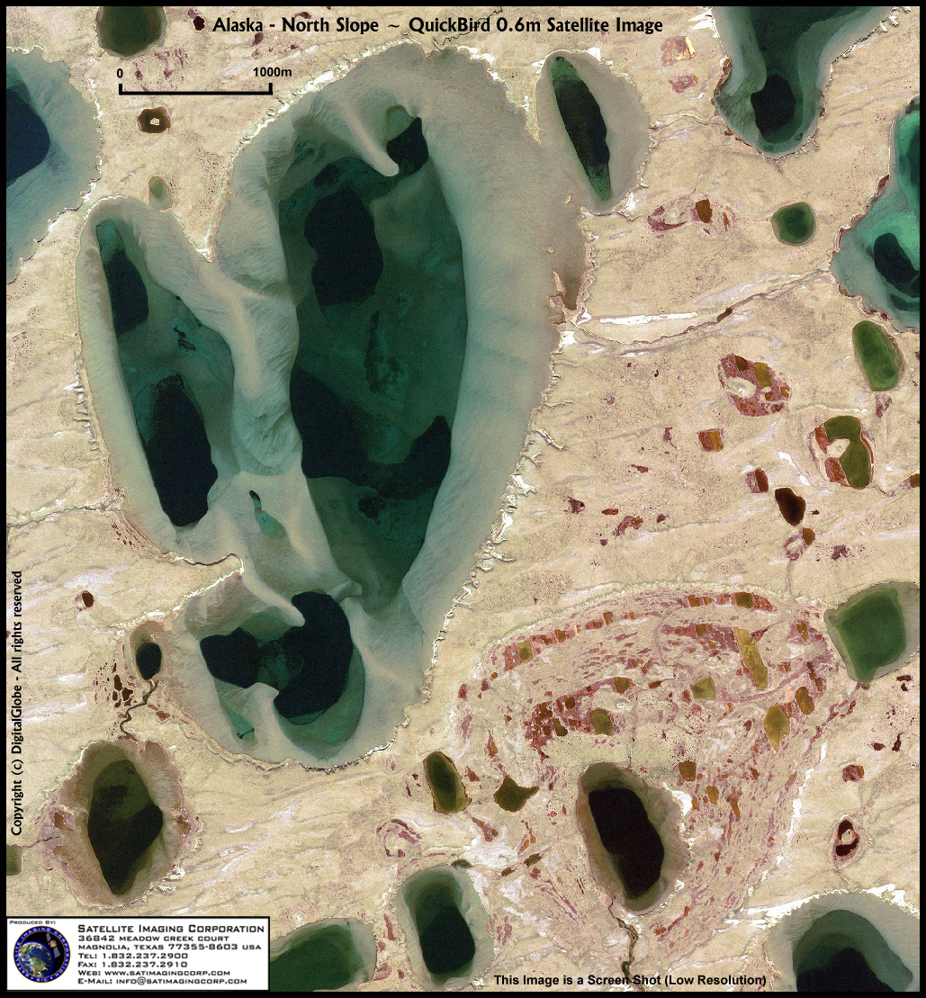
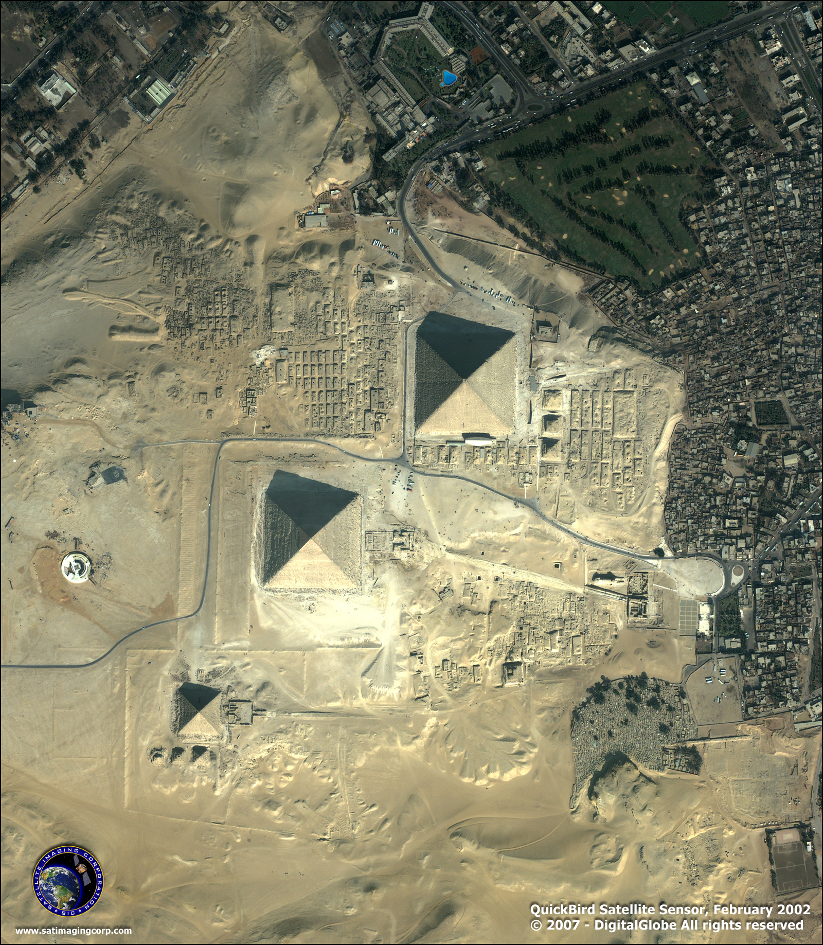
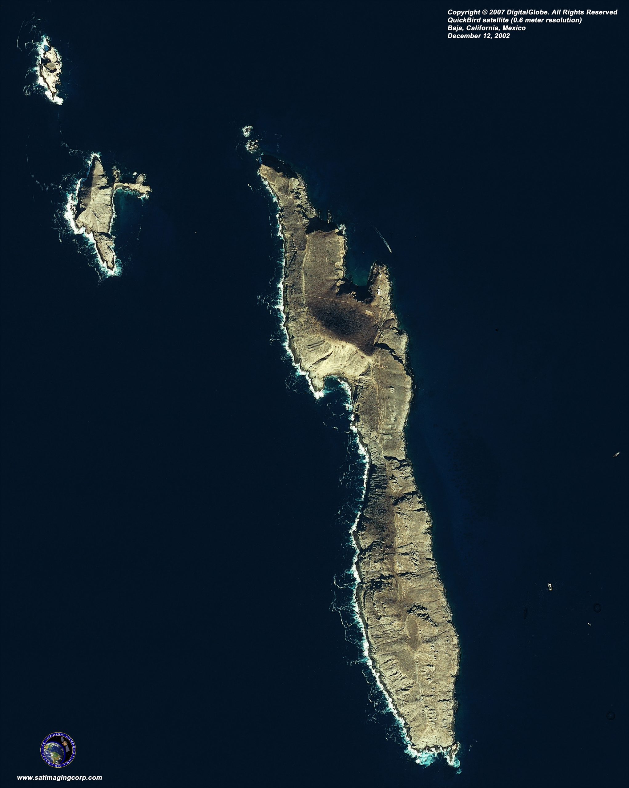
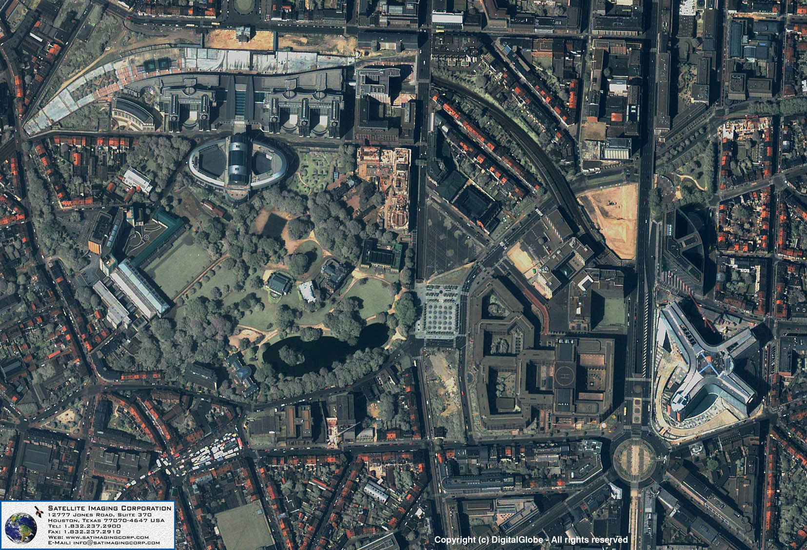
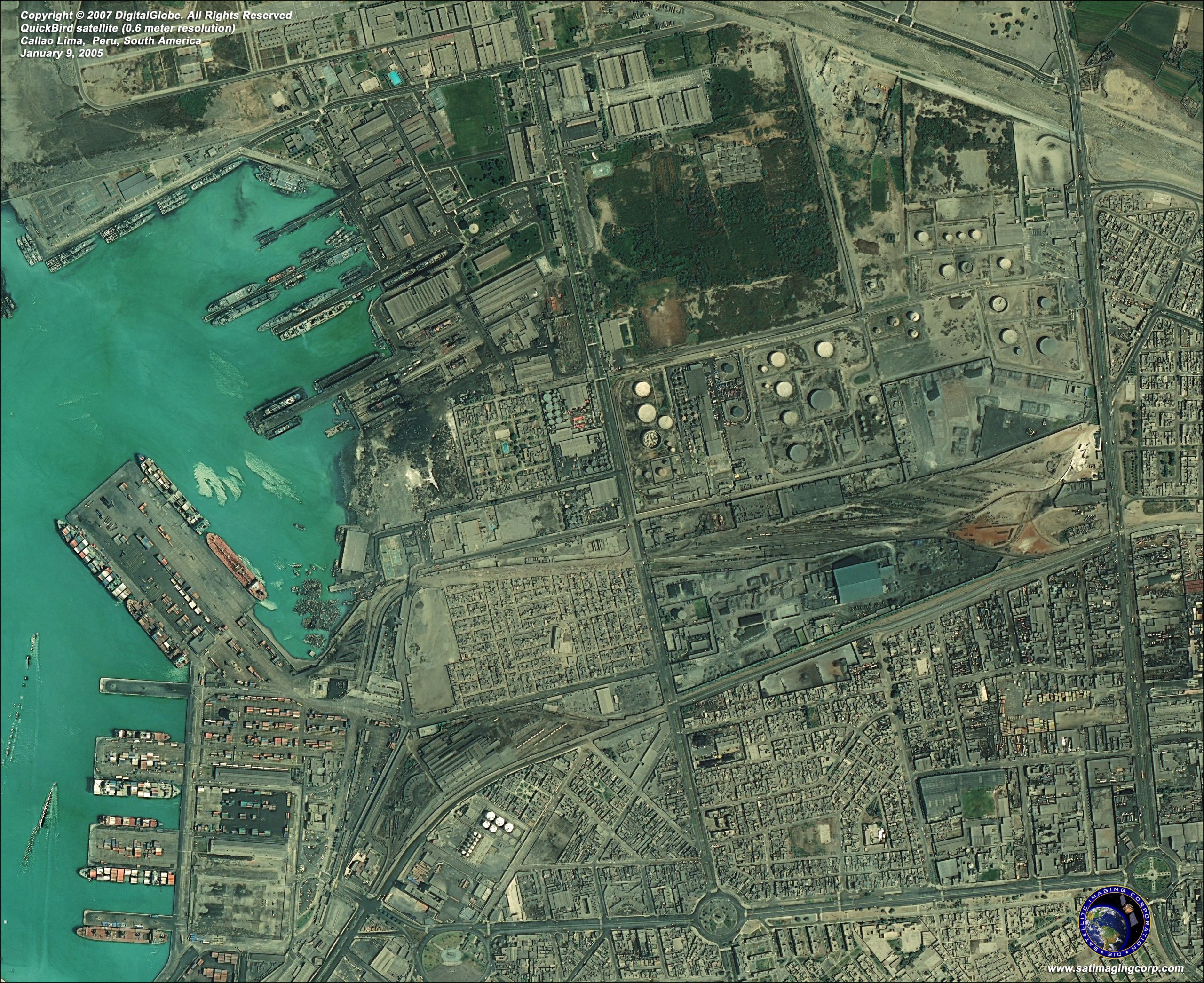
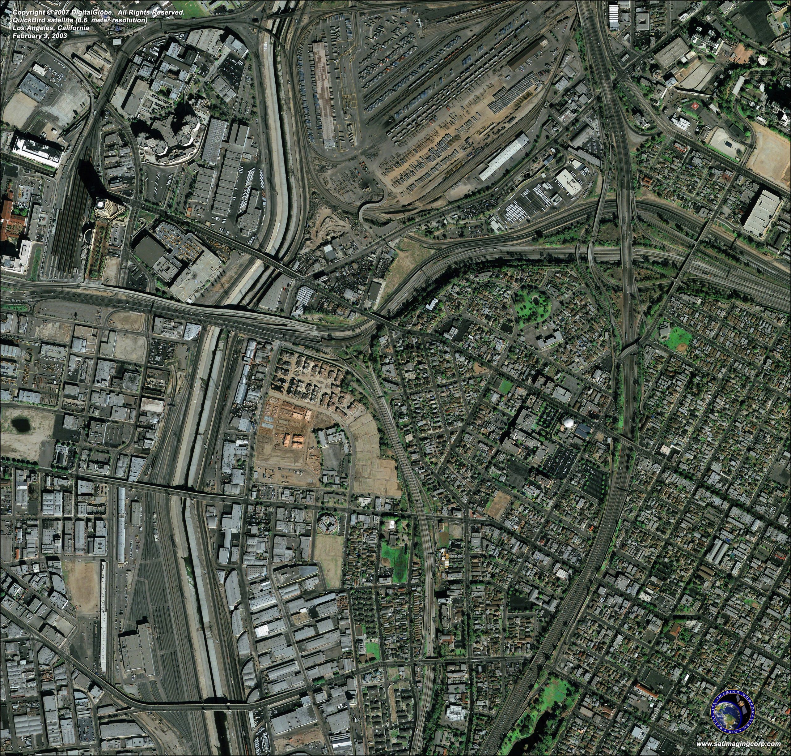
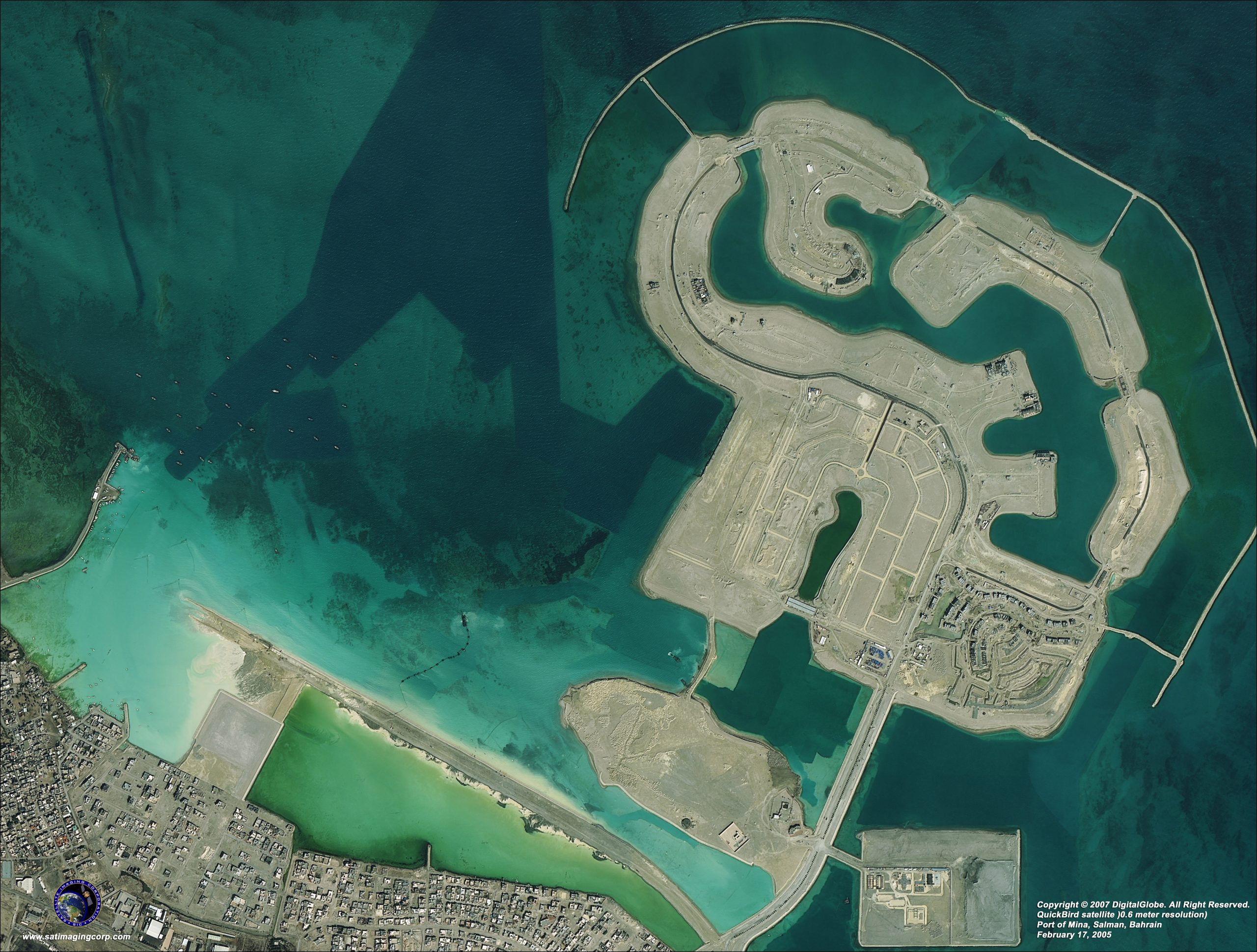
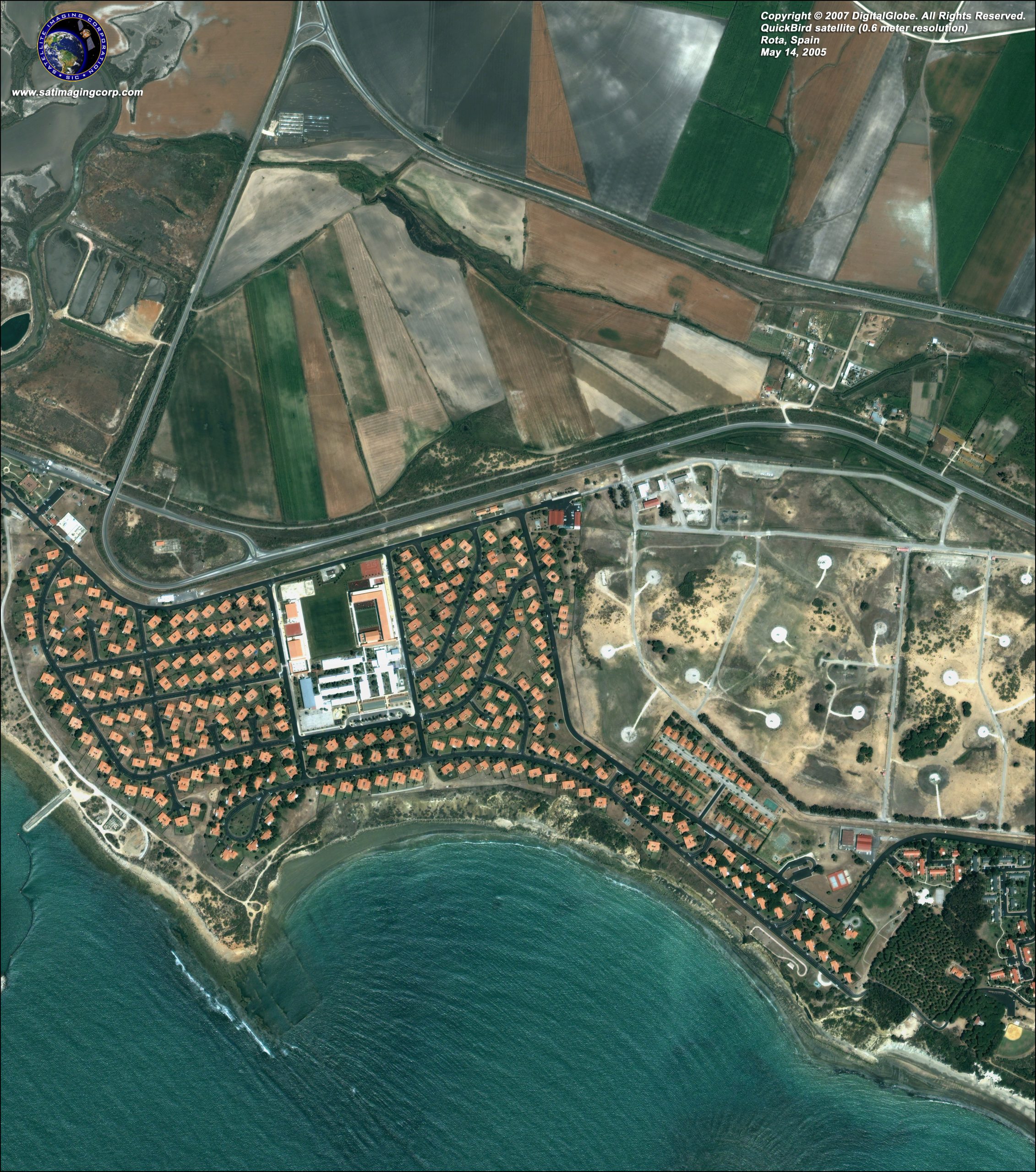
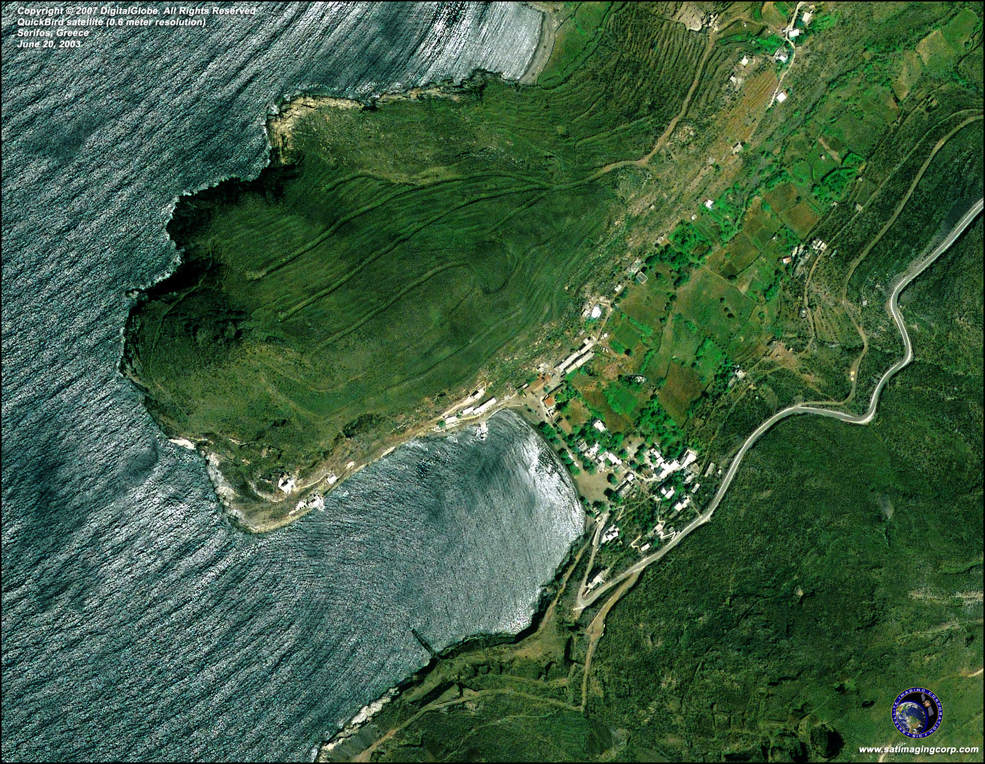
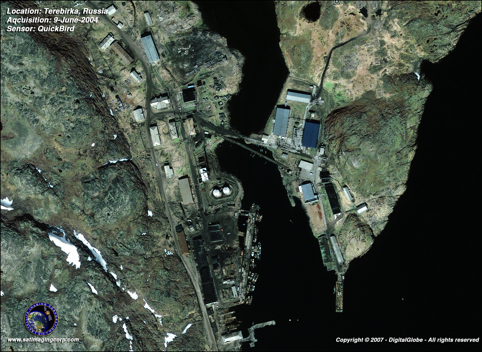
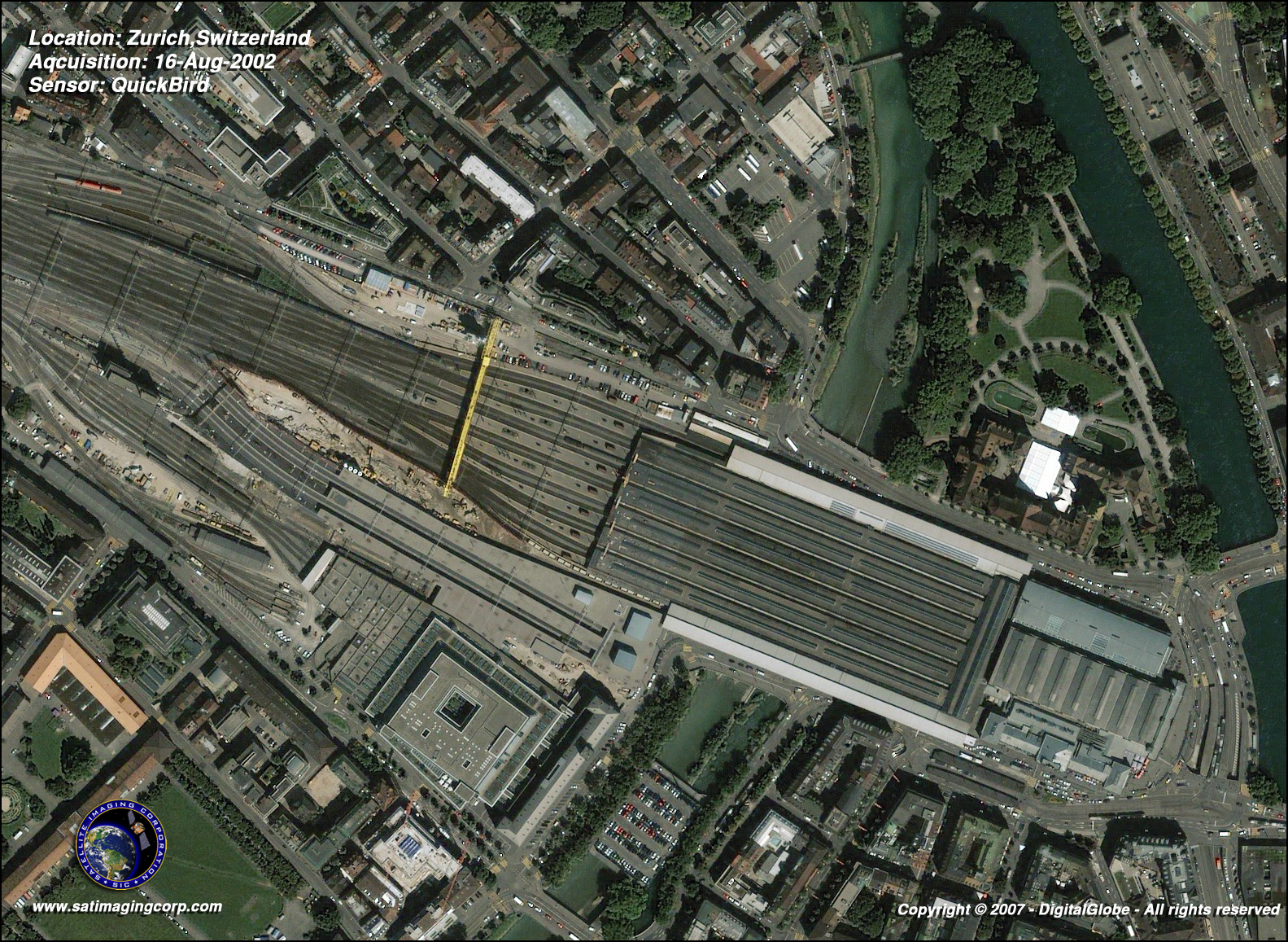
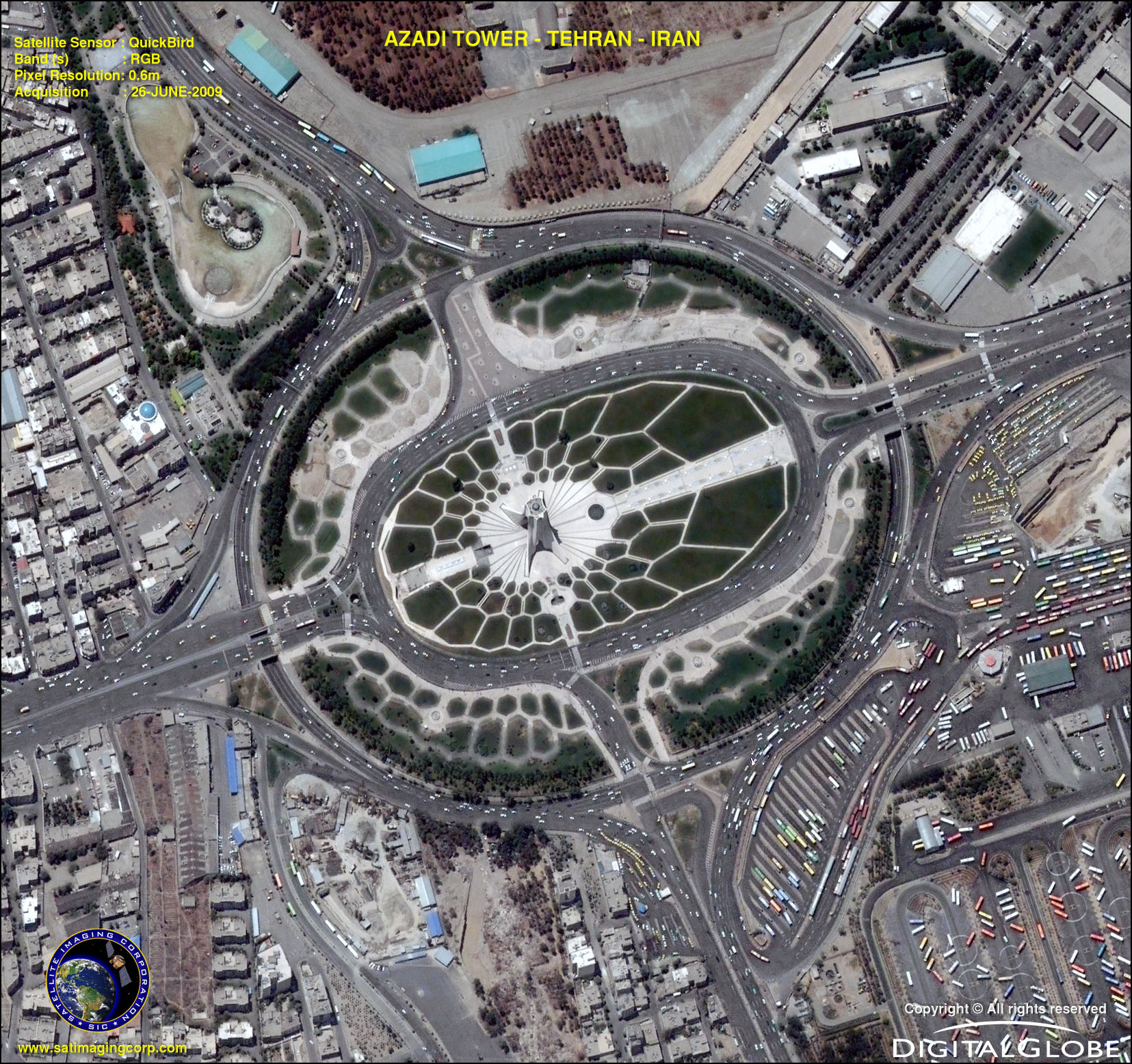
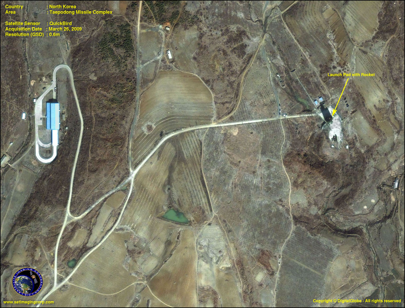
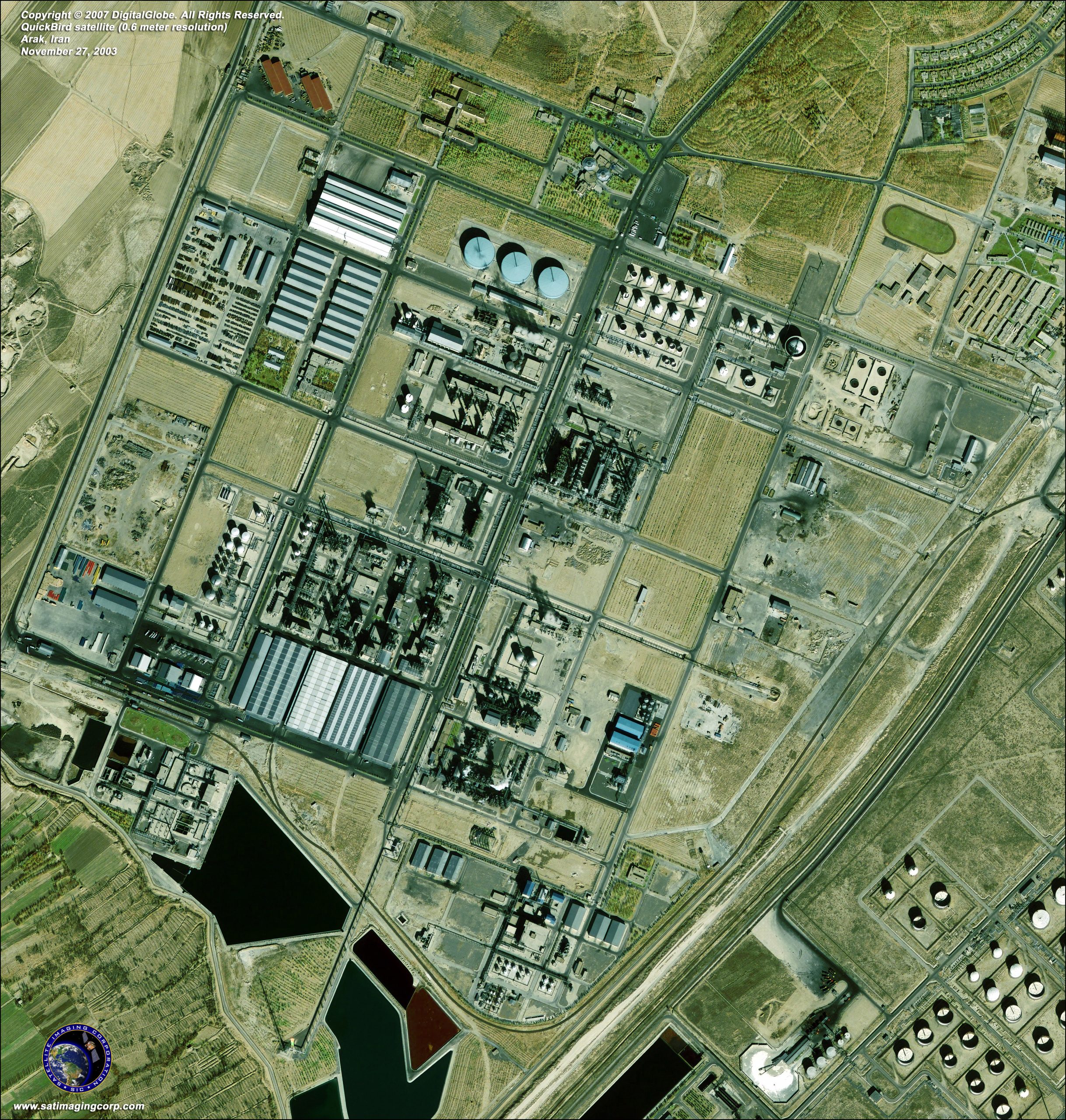
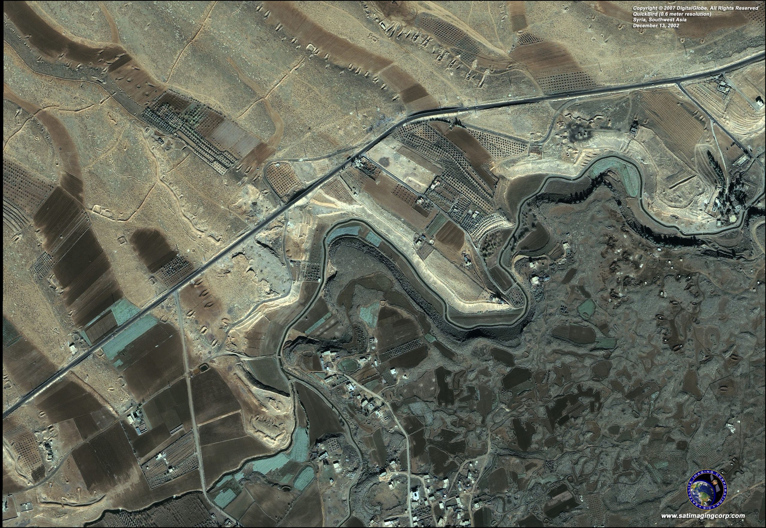
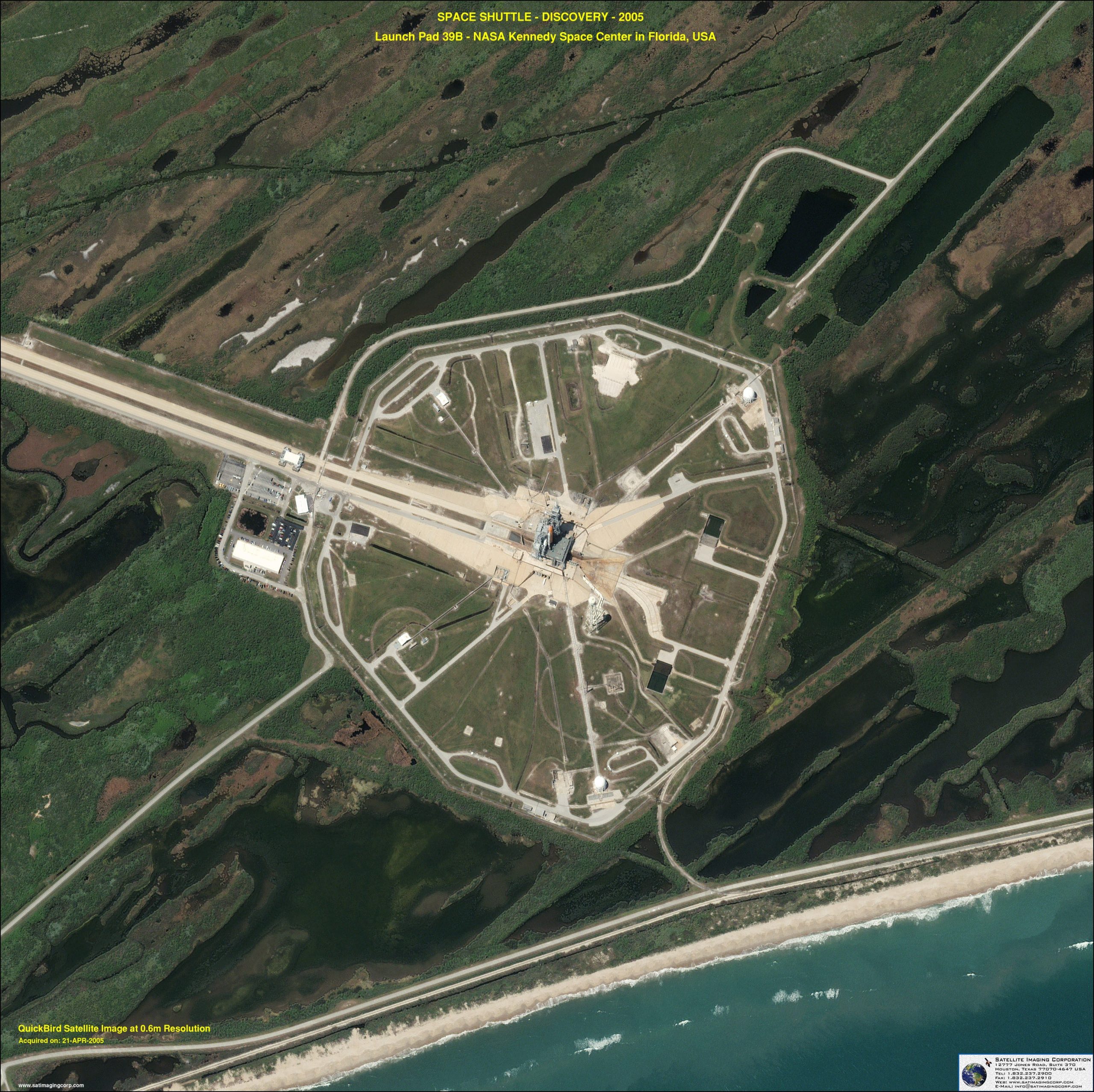
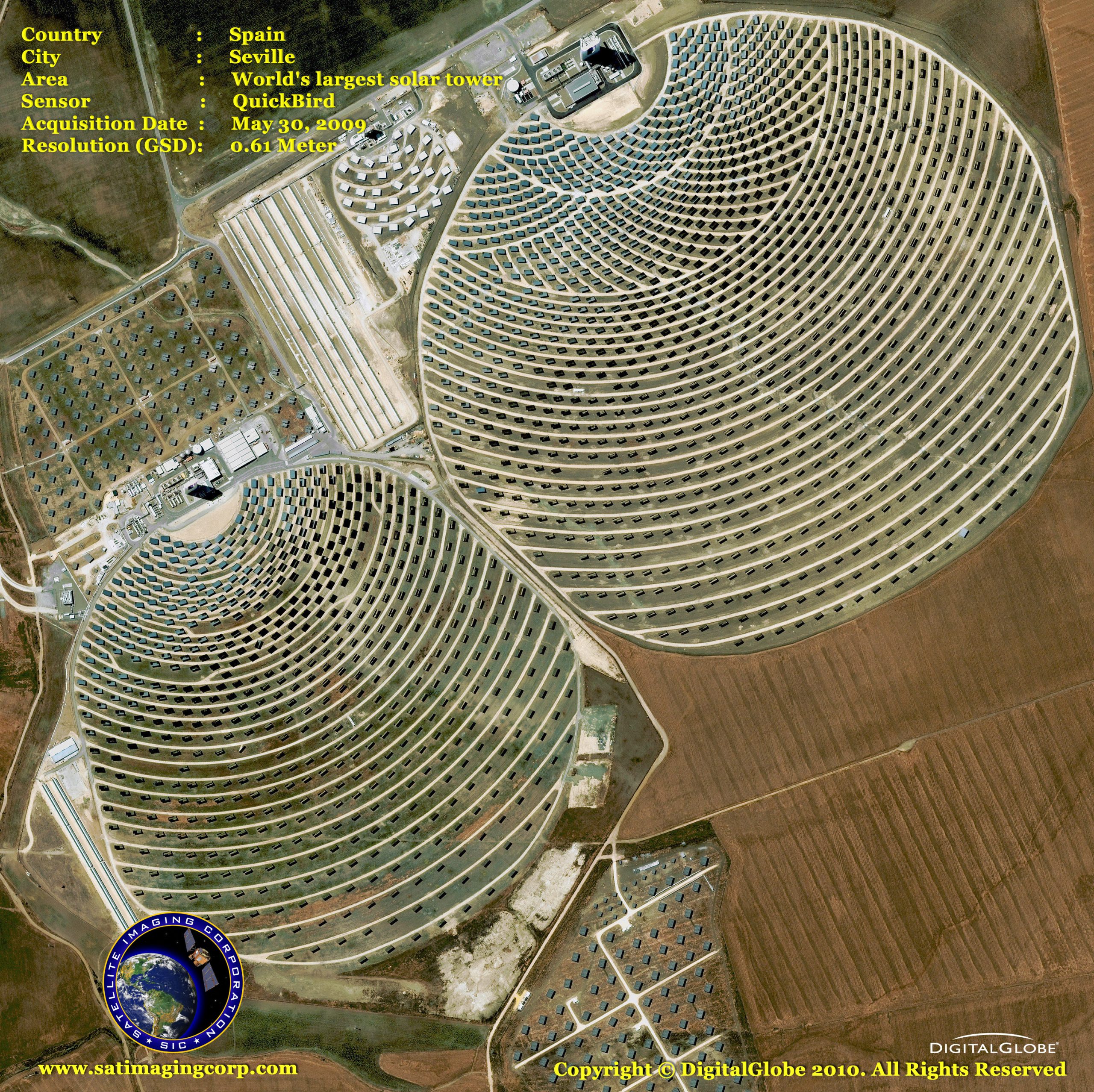
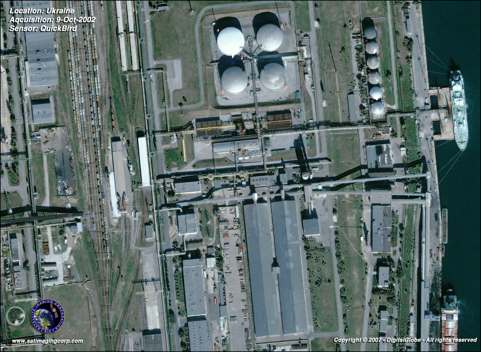
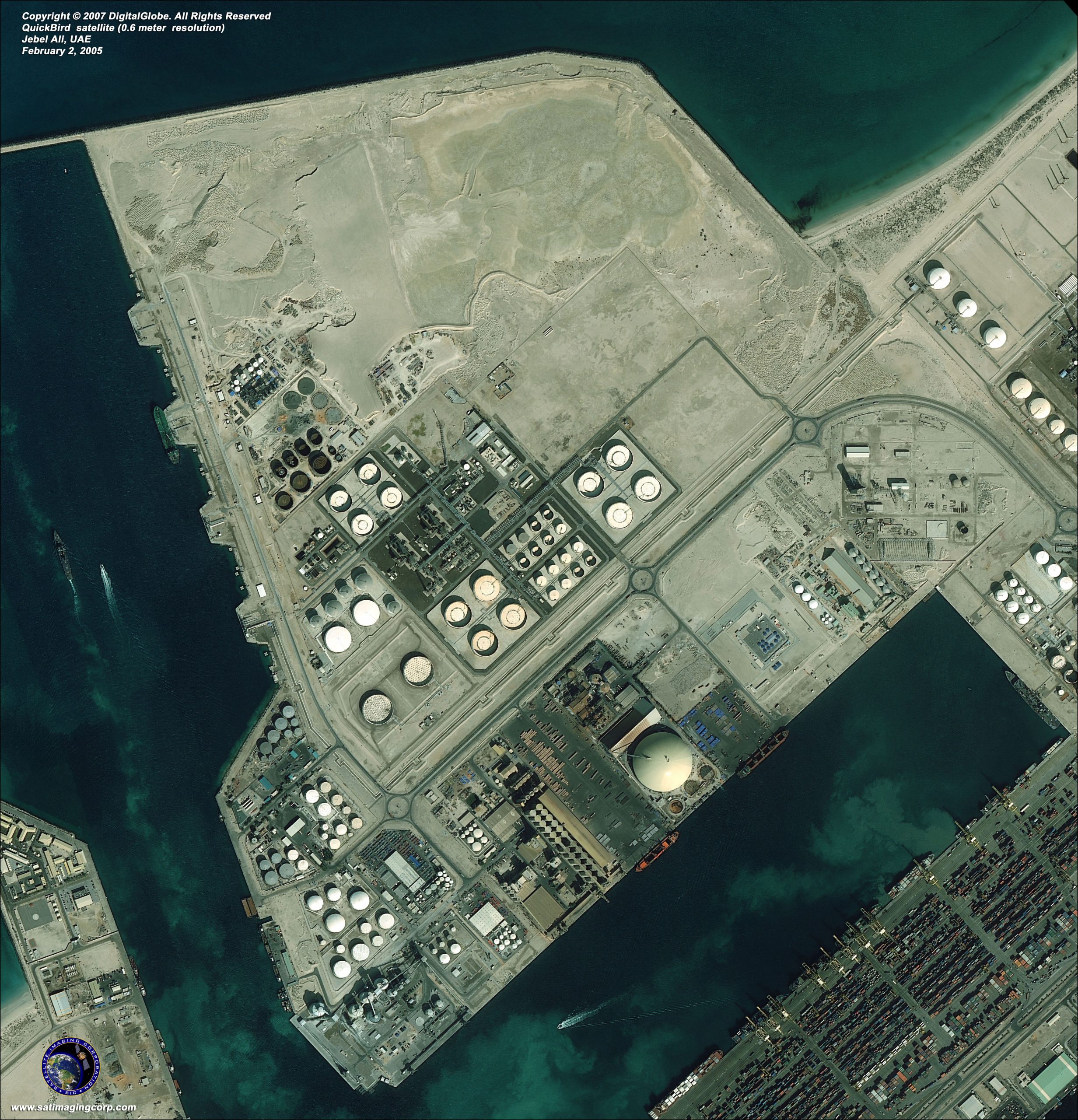
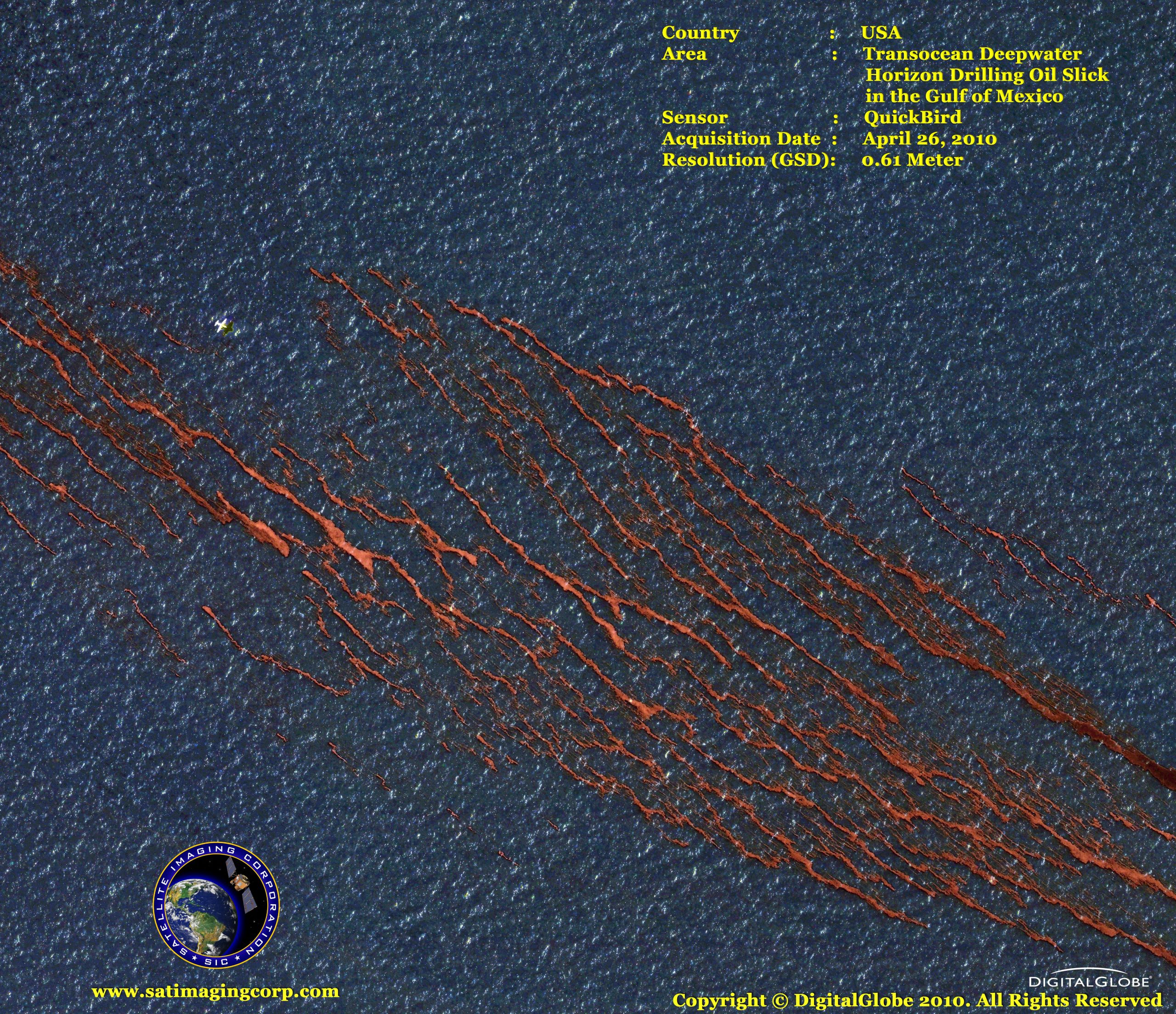
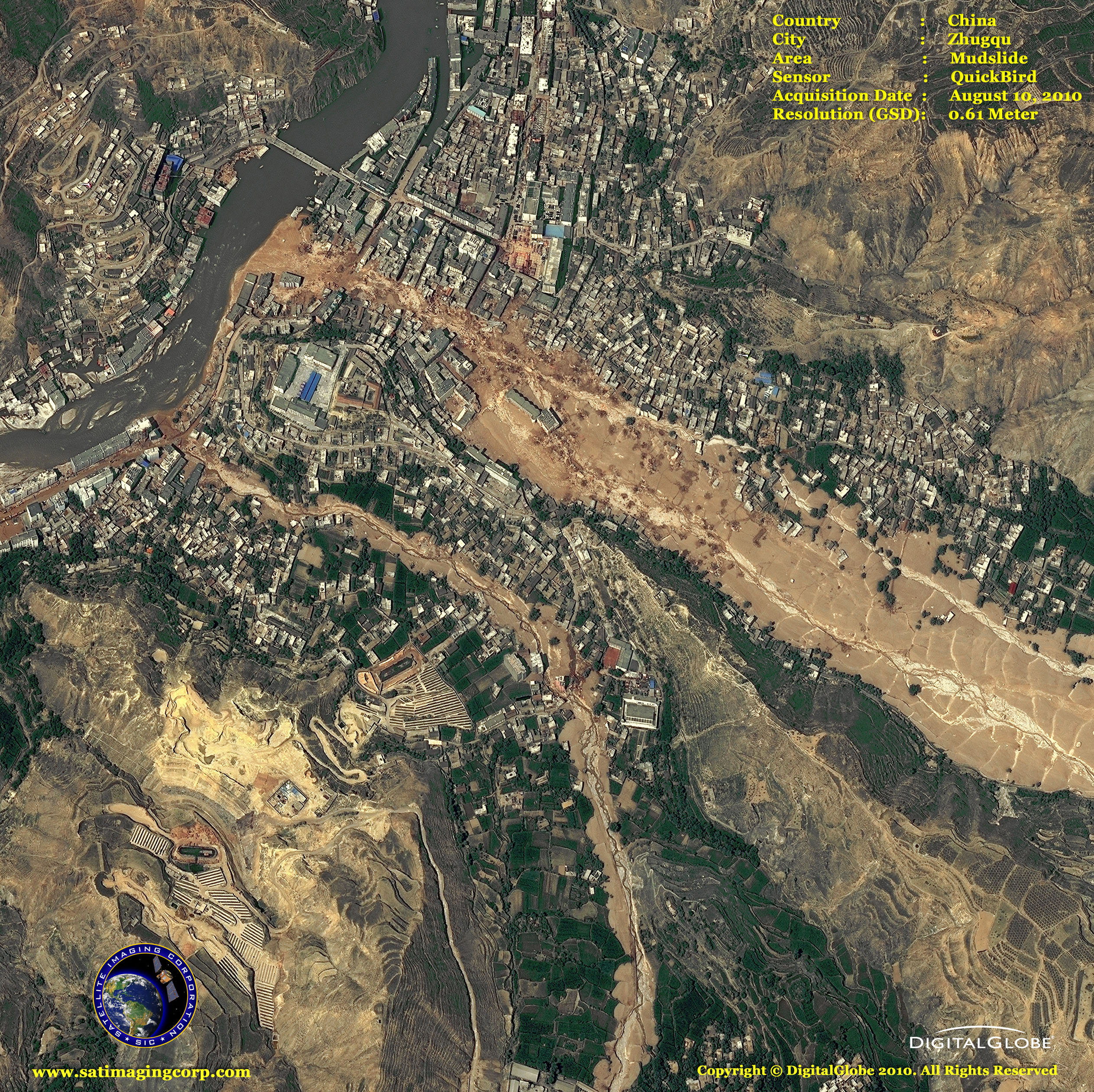
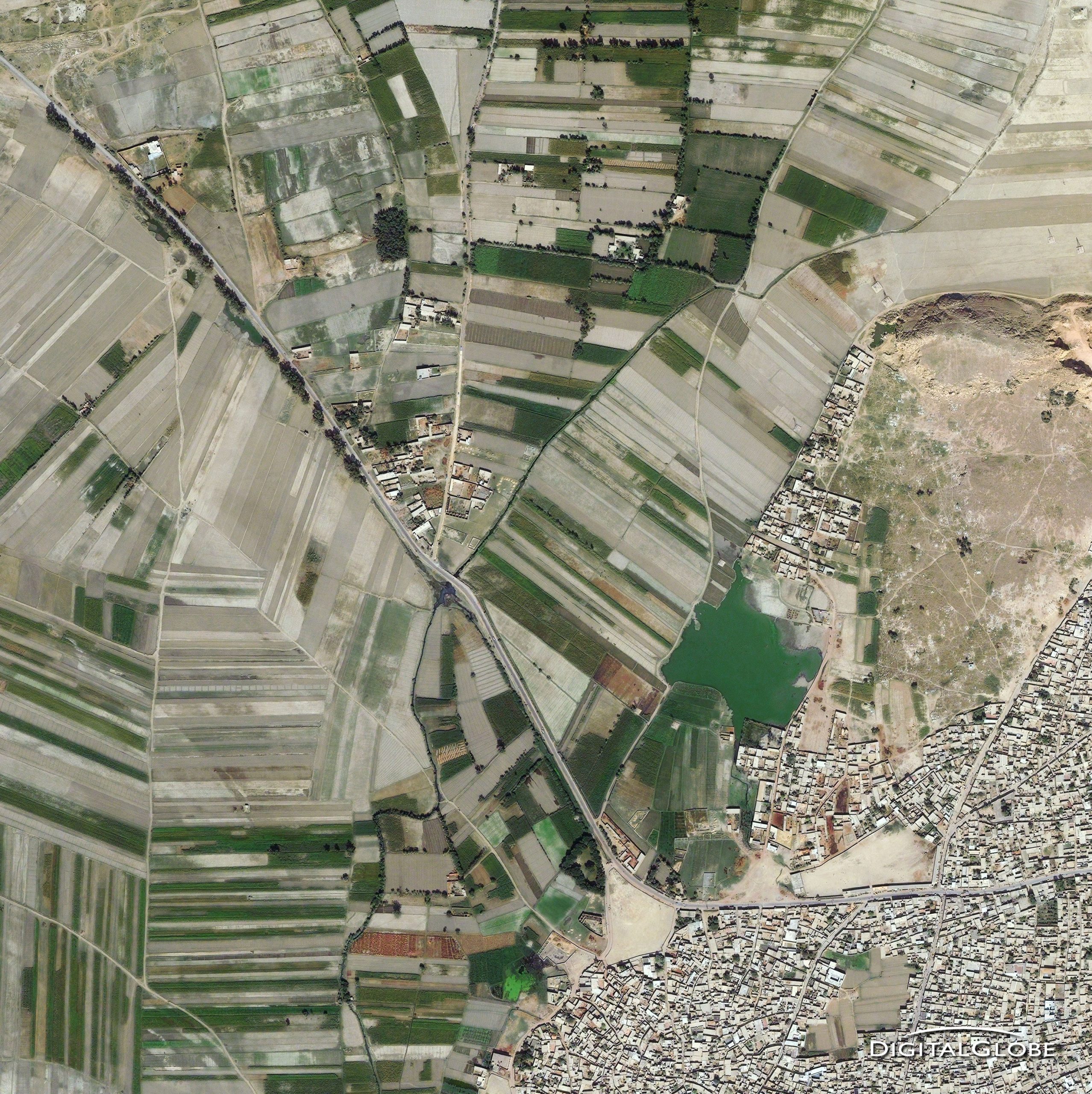
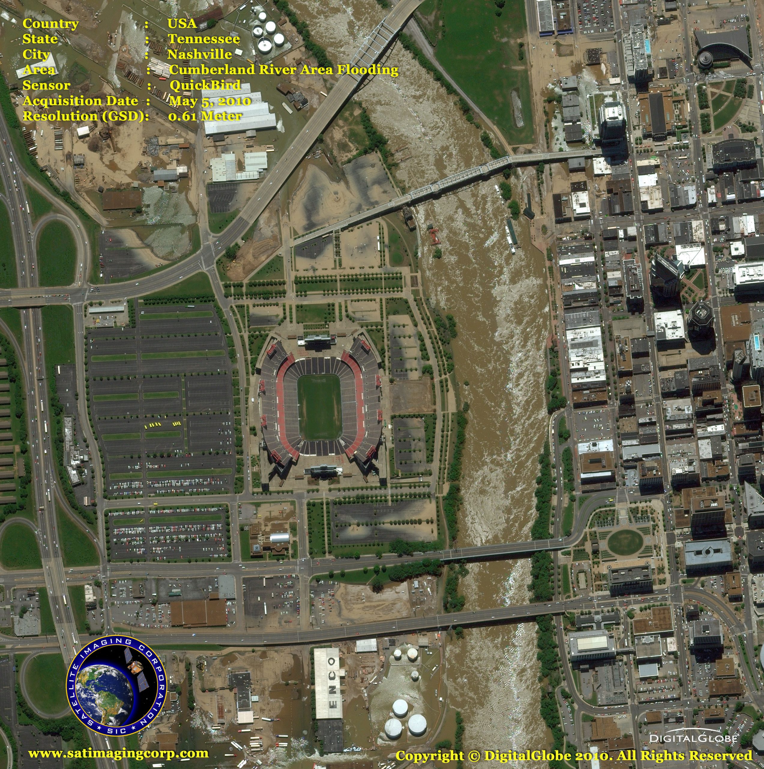
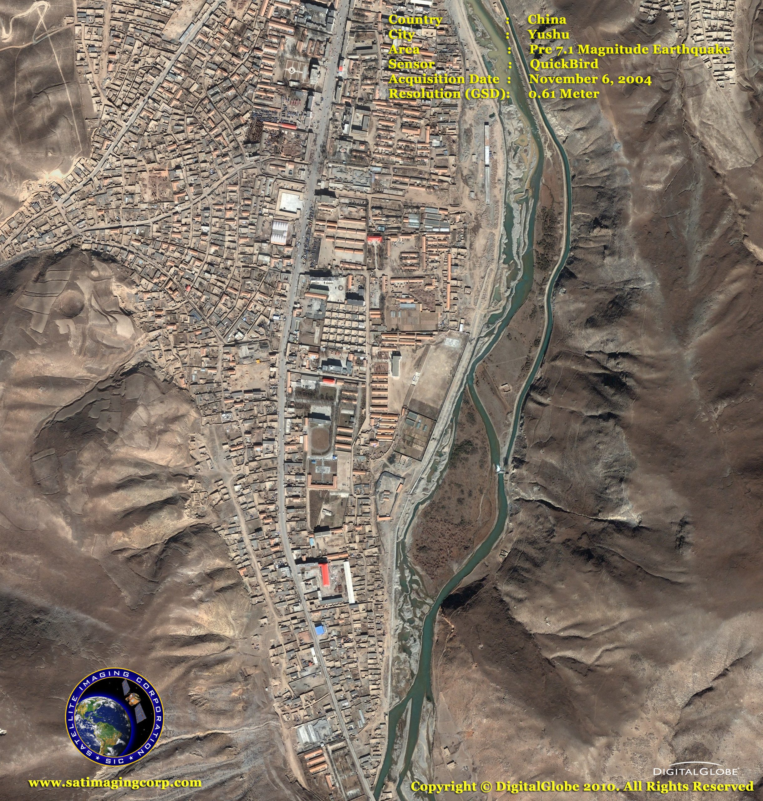
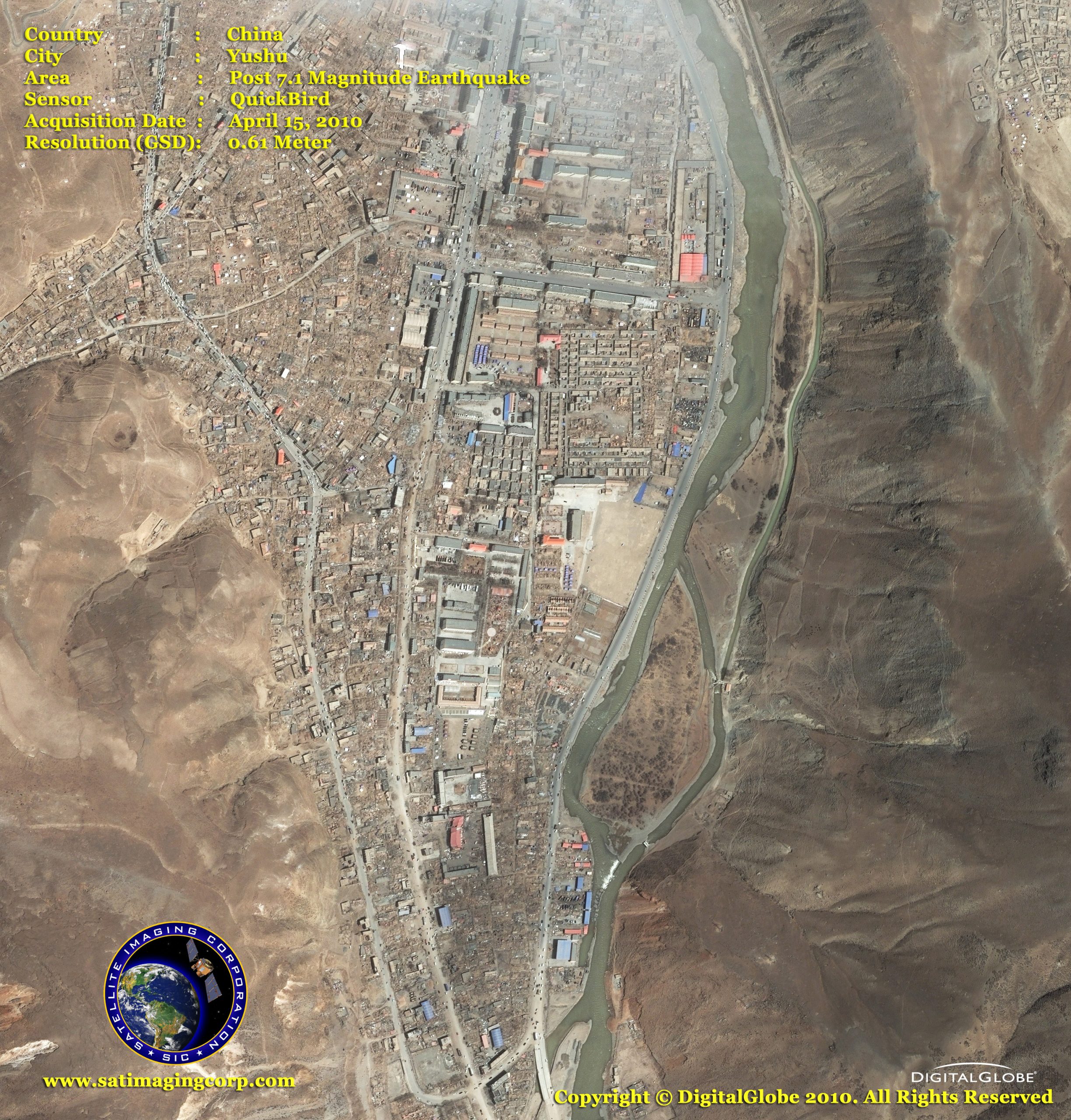
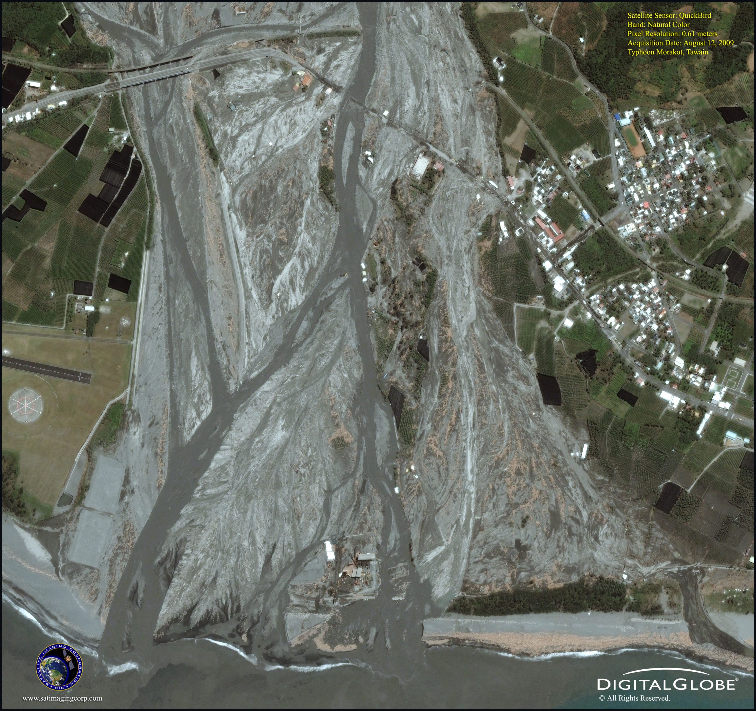
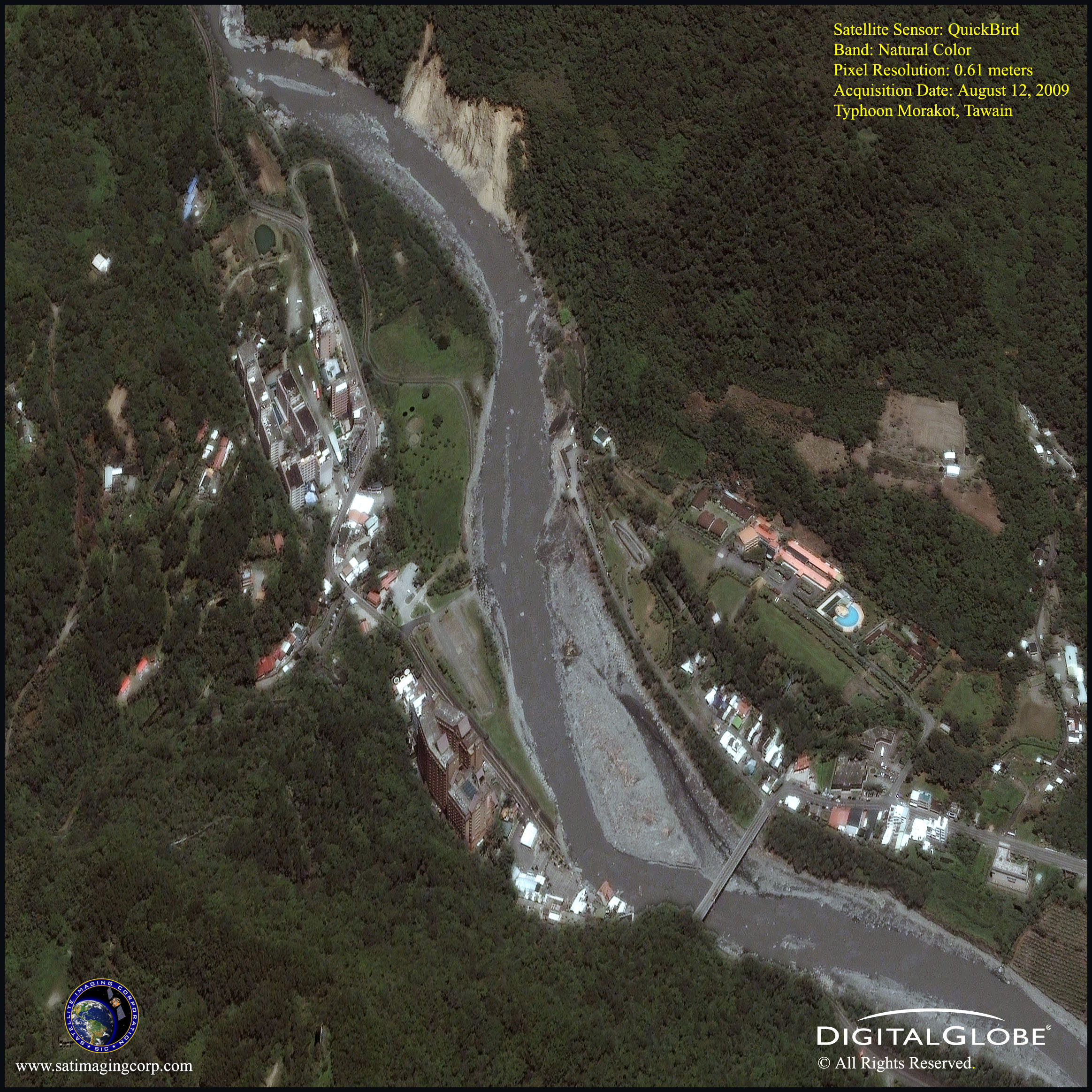
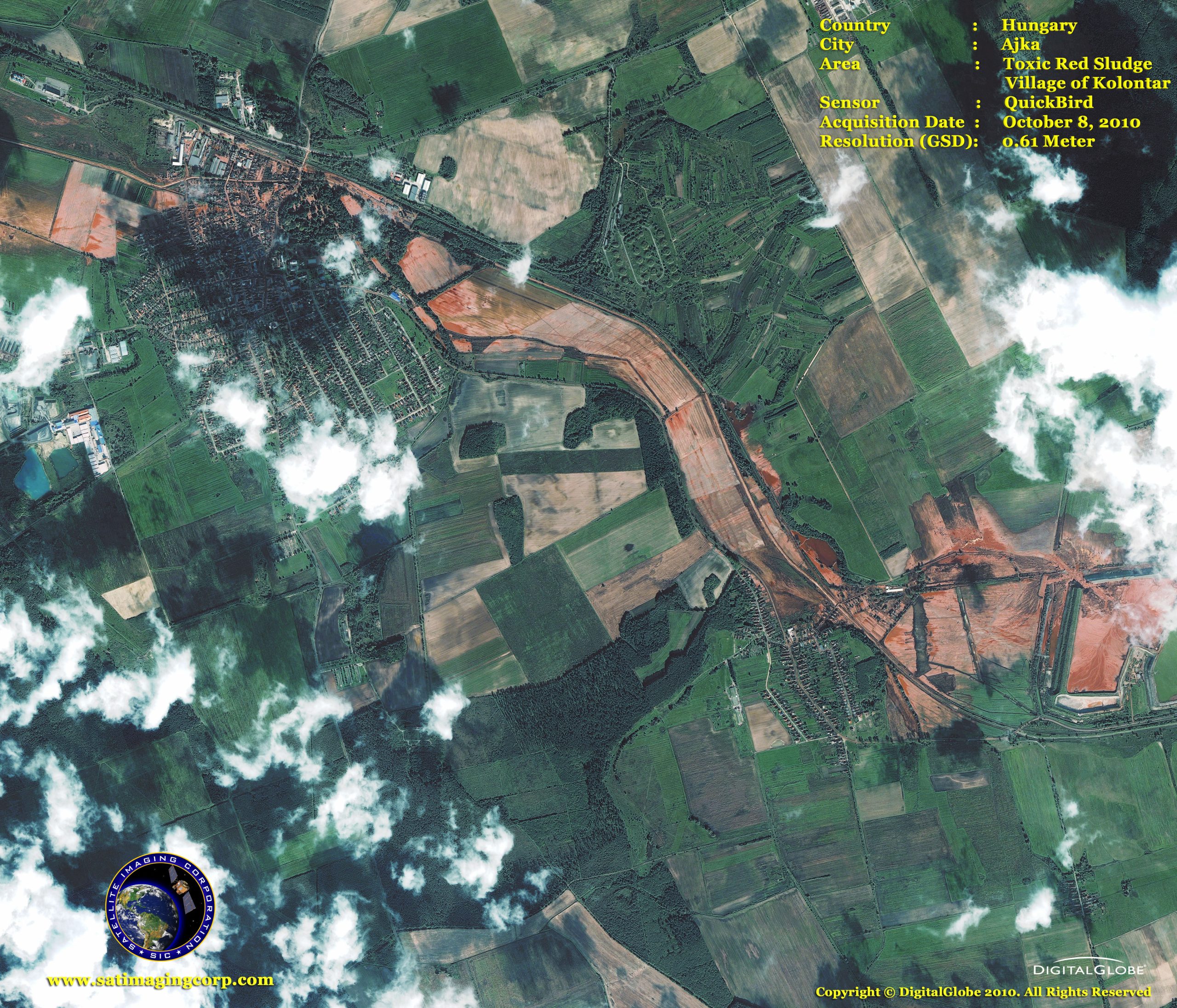
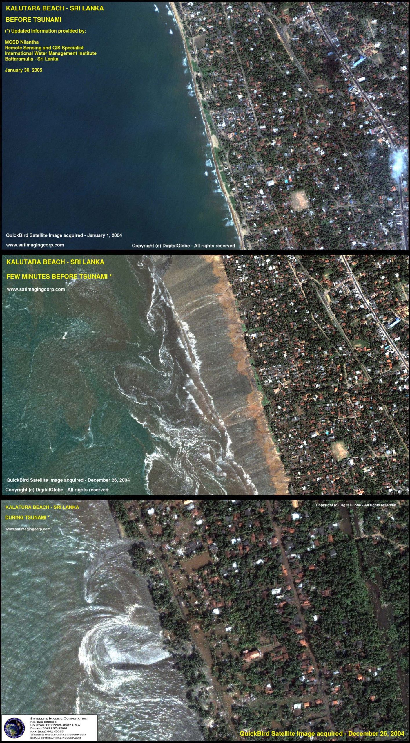
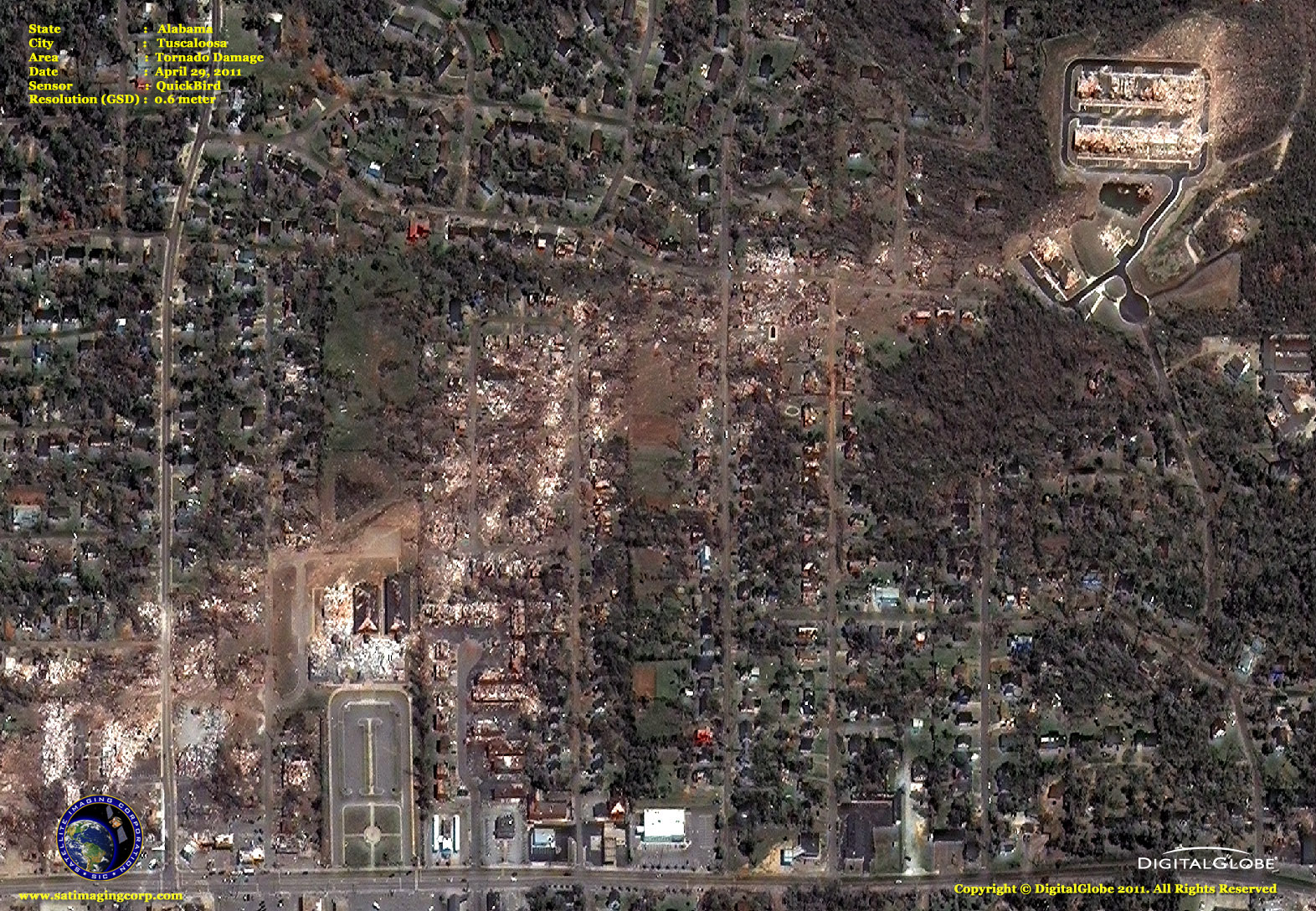
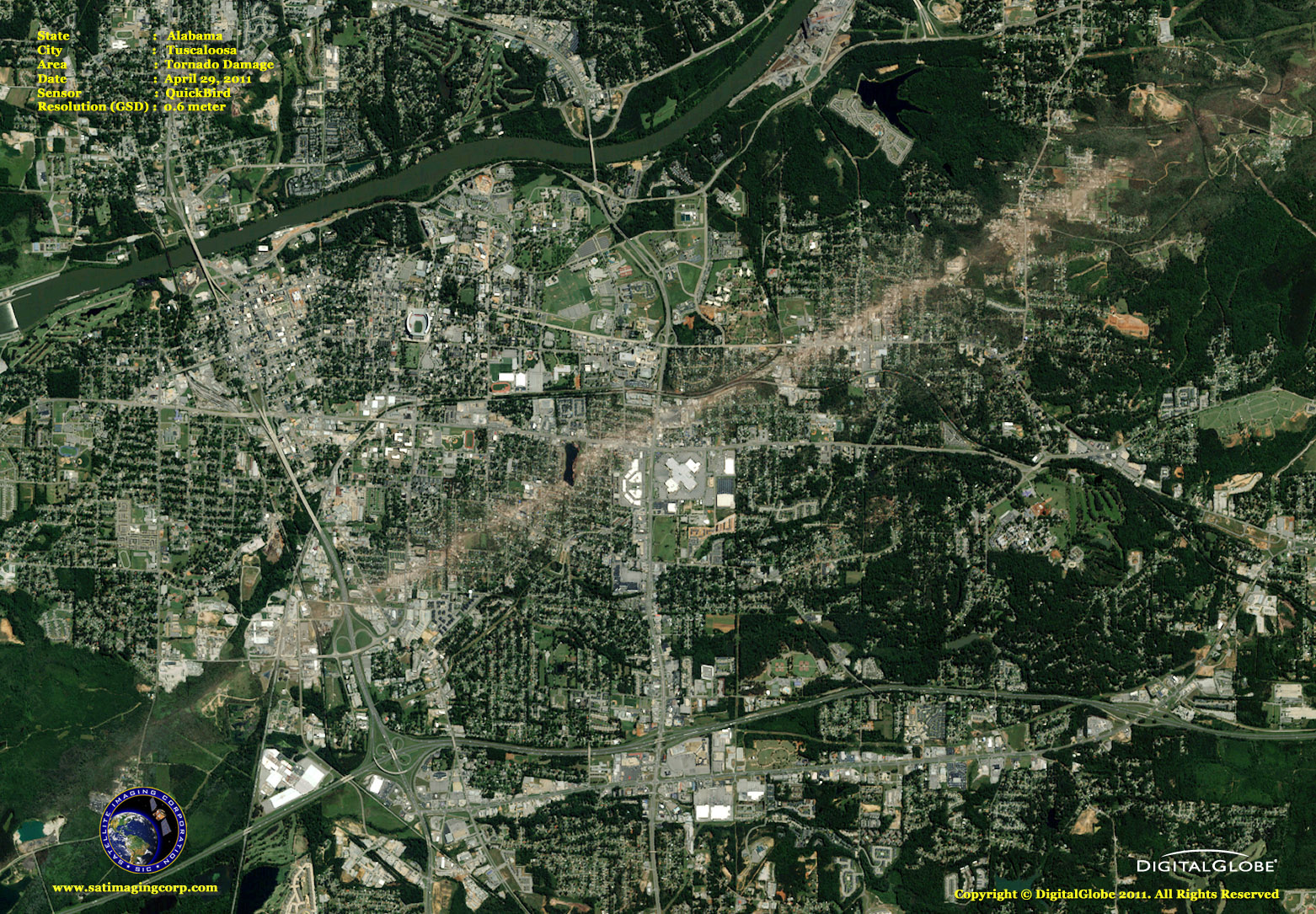
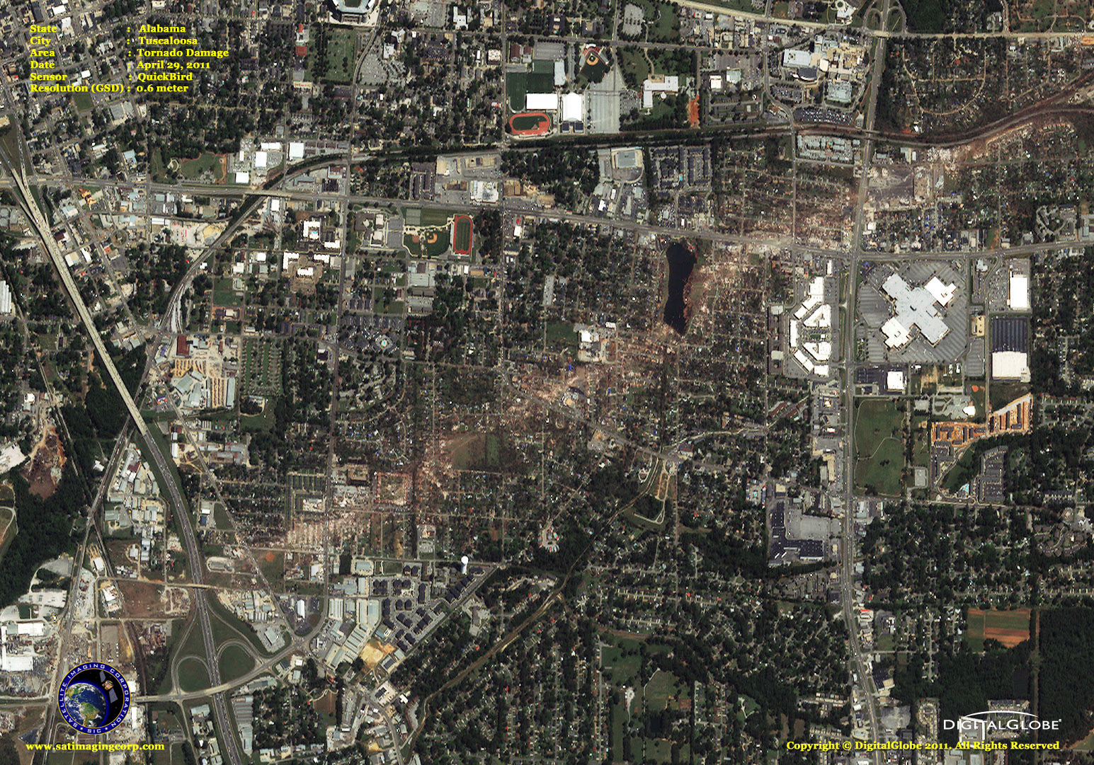
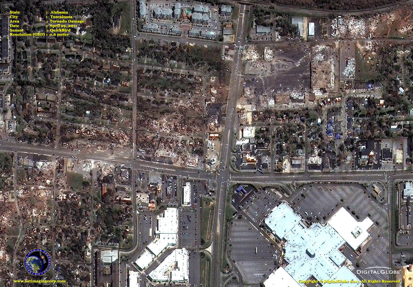
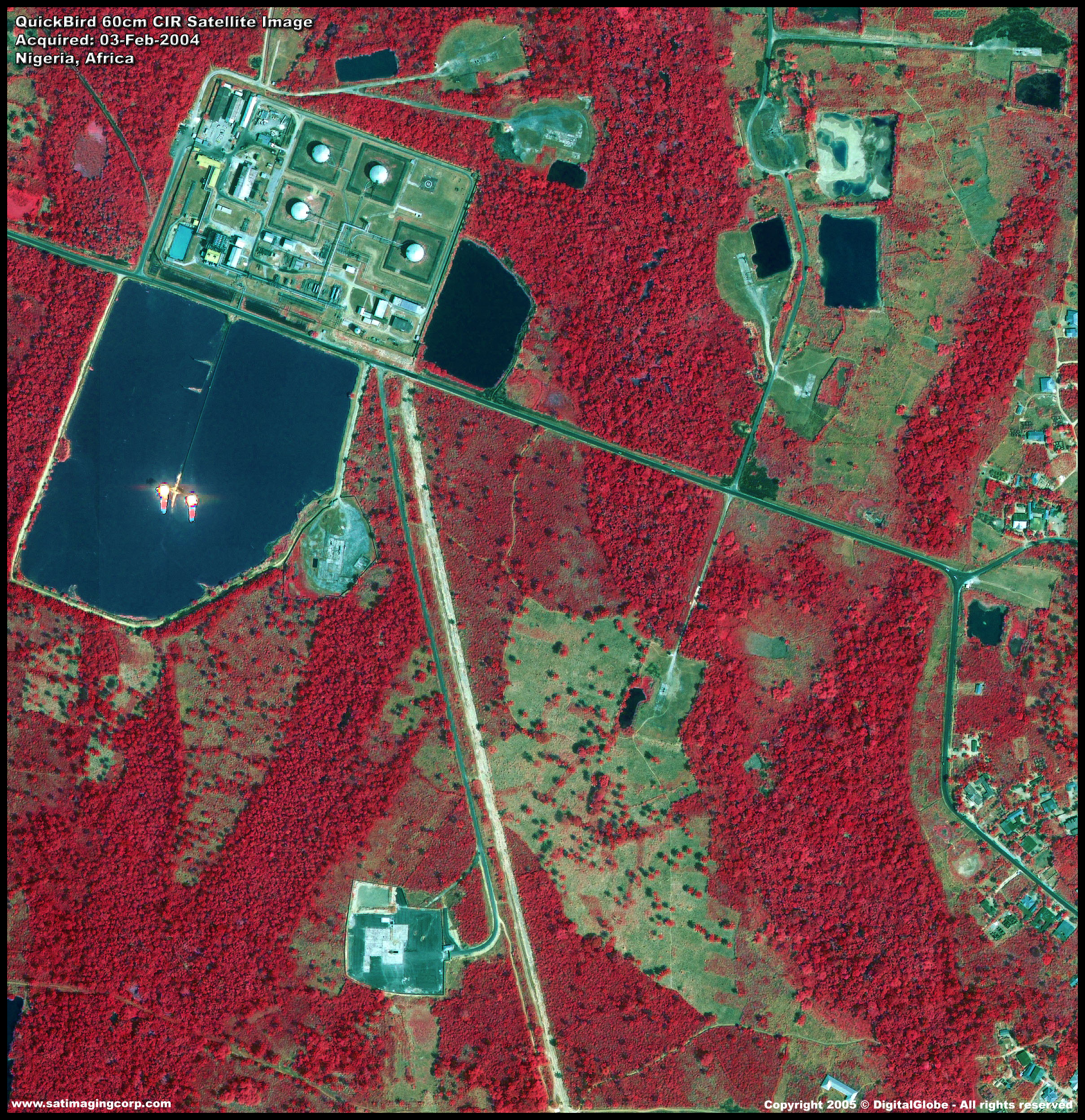
Sample Images
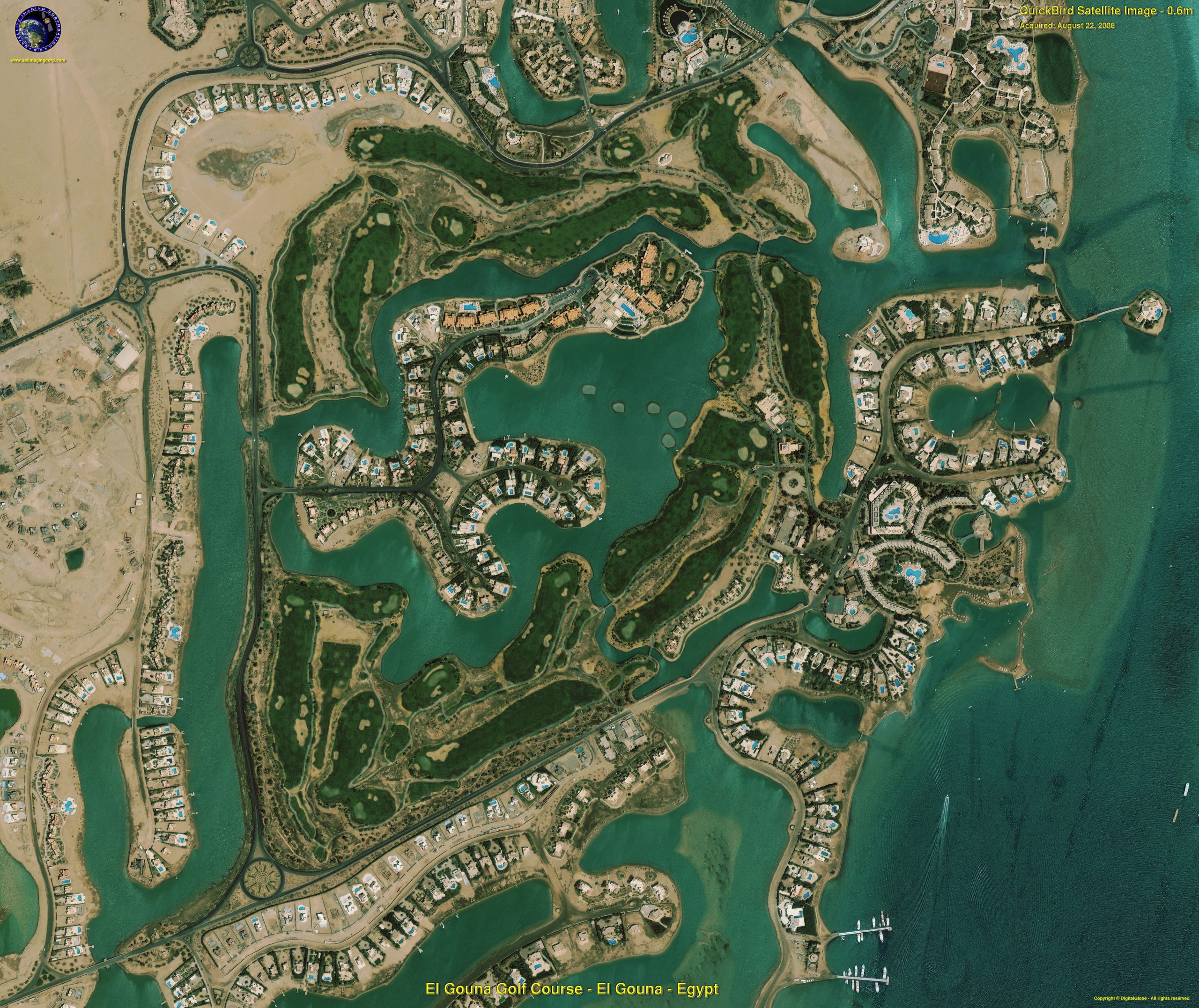
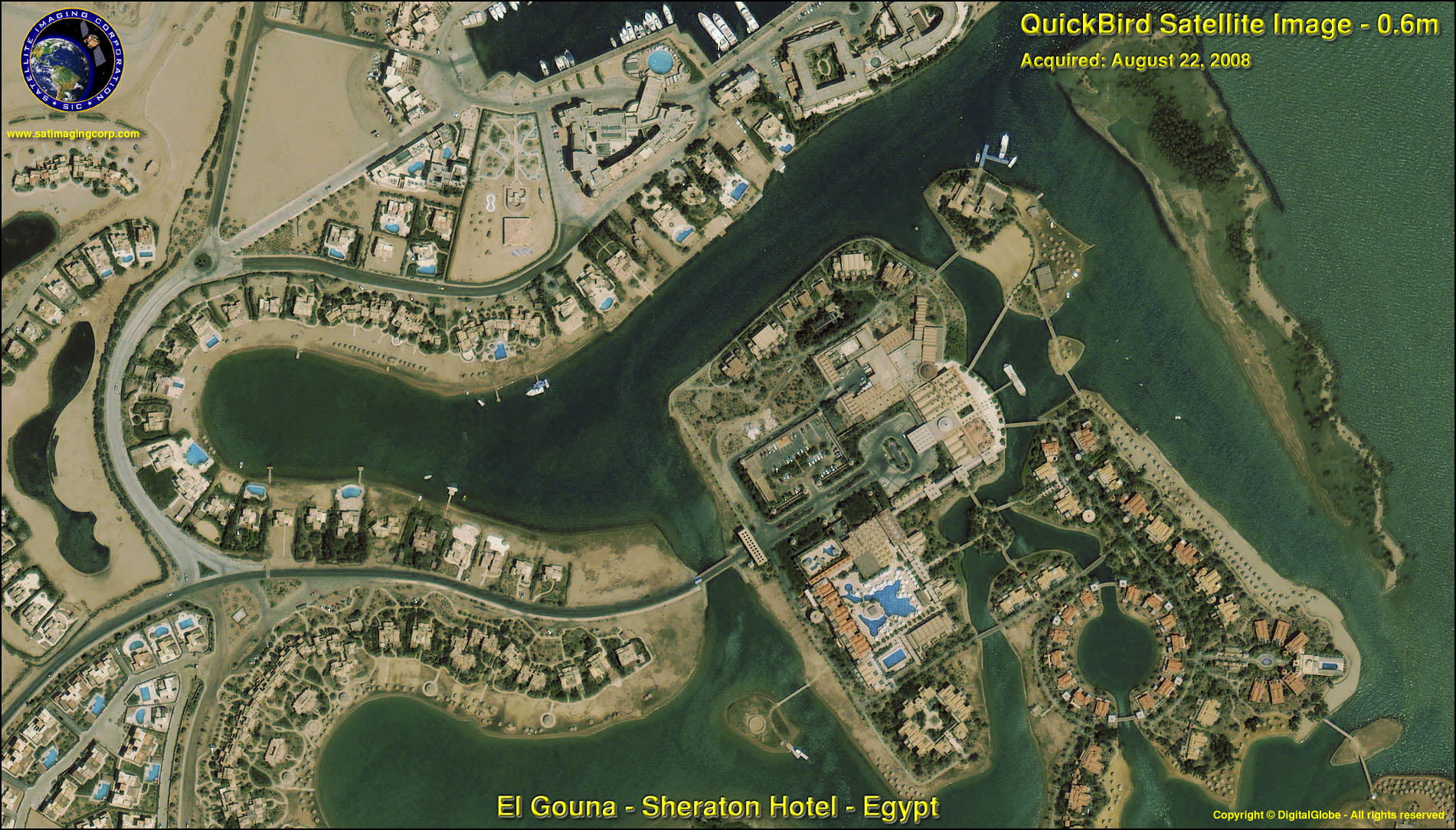
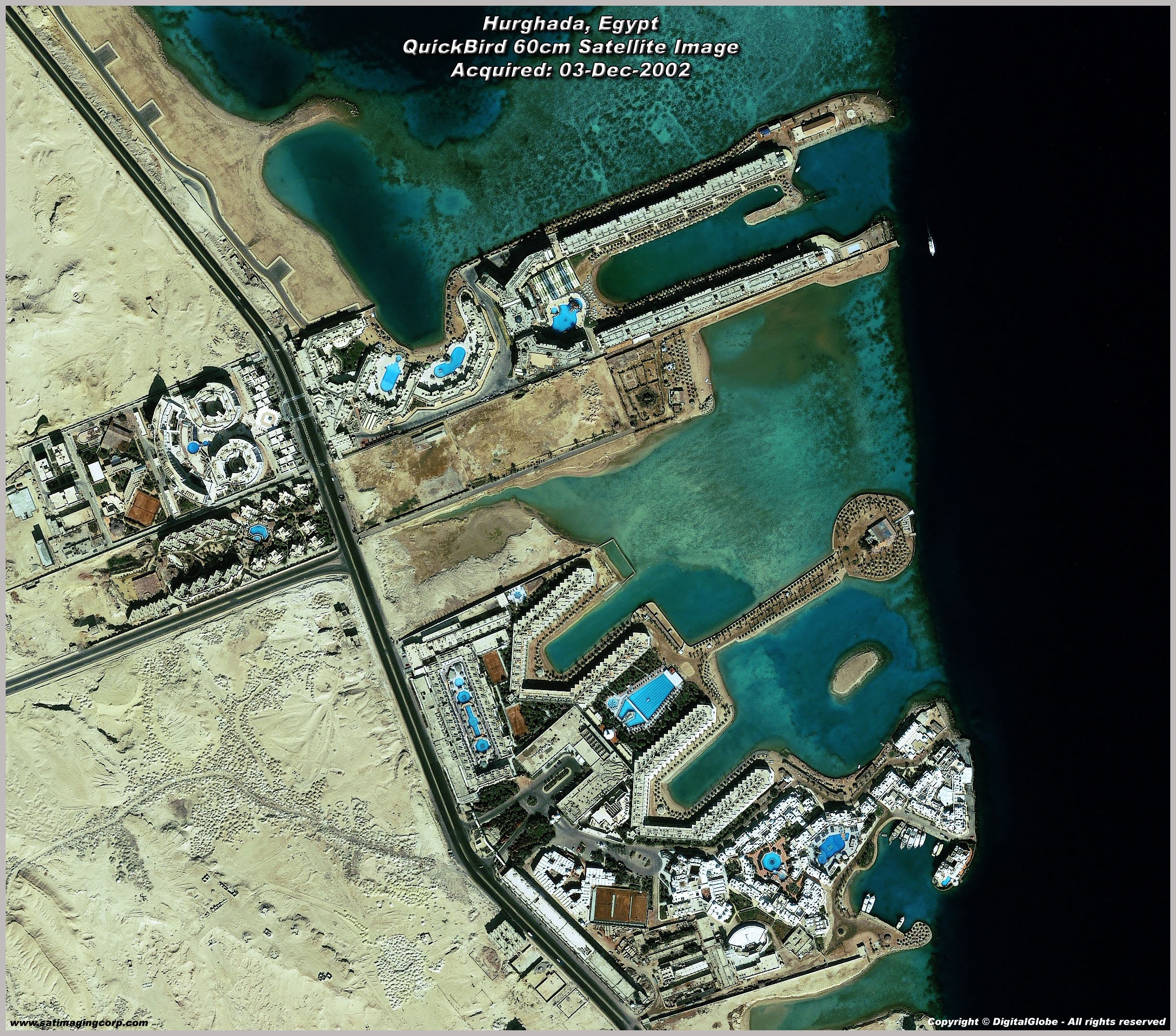
QuickBird Archived Satellite Image Gallery
* Click on thumbnail to view in full resolution.
Archived QuickBird Imagery
For many image requests, a matching image can already be located in the archives of high-resolution QuickBird imagery from around the world. If no image data is available in the archives, new high resolution satellite image data can be acquired through a satellite tasking process. For more information and pricing, please contact us.
For more information on any of our products and image processing services, please contact us for a complimentary consultation.
QuickBird Satellite Sensor Characteristics
Launch Date
October 18, 2001
Launch Vehicle
Boeing Delta II
Launch Location
Vandenberg Air Force Base, California, USA
Orbit Altitude
450 Km / 482 Km – (Early 2013)
Orbit Inclination
97.2°, sun-synchronous
Speed
7.1 Km/sec (25,560 Km/hour)
Equator Crossing Time
10:30 AM (descending node)
Orbit Time
93.5 minutes
Revisit Time
1-3.5 days, depending on latitude (30° off-nadir)
Swath Width (Nadir)
16.8 Km / 18 Km – (Early 2013)
Metric Accuracy
23 meter horizontal (CE90)
Digitization
11 bits
Resolution
Panchromatic: 65 cm (nadir) to 73 cm (20° off-nadir)
Multispectral: 2.62 m (nadir) to 2.90 m (20° off-nadir)
Image Bands
Panchromatic: 450-900 nm
Multispectral:
Blue: 450-520 nm
Green: 520-600 nm
Red: 630-690 nm
Near IR: 760-900 nm


