Pleiades-1A Satellite Sensor
(0.5m)
AIRBUS Defence & Space Pleiades-1A satellite sensor was successfully launched on December 16, 2011, and provides 0.5m high resolution satellite image data. Watch video of Pleiades-1A satellite launch.
The Pleiades-1A satellite is capable of providing orthorectified color data at 0.5-meter resolution (roughly comparable to GeoEye-1) and revisiting any point on Earth as it covers a total of 1 million square kilometers (approximately 386,102 square miles) daily. Perhaps most importantly, Pleiades-1A is capable of acquiring high-resolution stereo imagery in just one pass and can accommodate large areas (up to 1,000 km x 1,000 km).
Pleiades-1A Satellite Sensor (0.5m)

Copyright © AIRBUS Defence & Space. All rights reserved.
The Pleiades-1A satellite features four spectral bands (blue, green, red, and IR), as well as image location accuracy of 3 meters (CE90) without ground control points. Image location accuracy can be improved even further — up to an exceptional 1 meter — by the use of GCPs. Because the satellite has been designed with urgent tasking in mind, images can be requested from Pleiades-1A less than six hours before they are acquired. This functionality will prove invaluable in situations where the expedited collection of new image data is crucial, such as disaster and crisis monitoring.
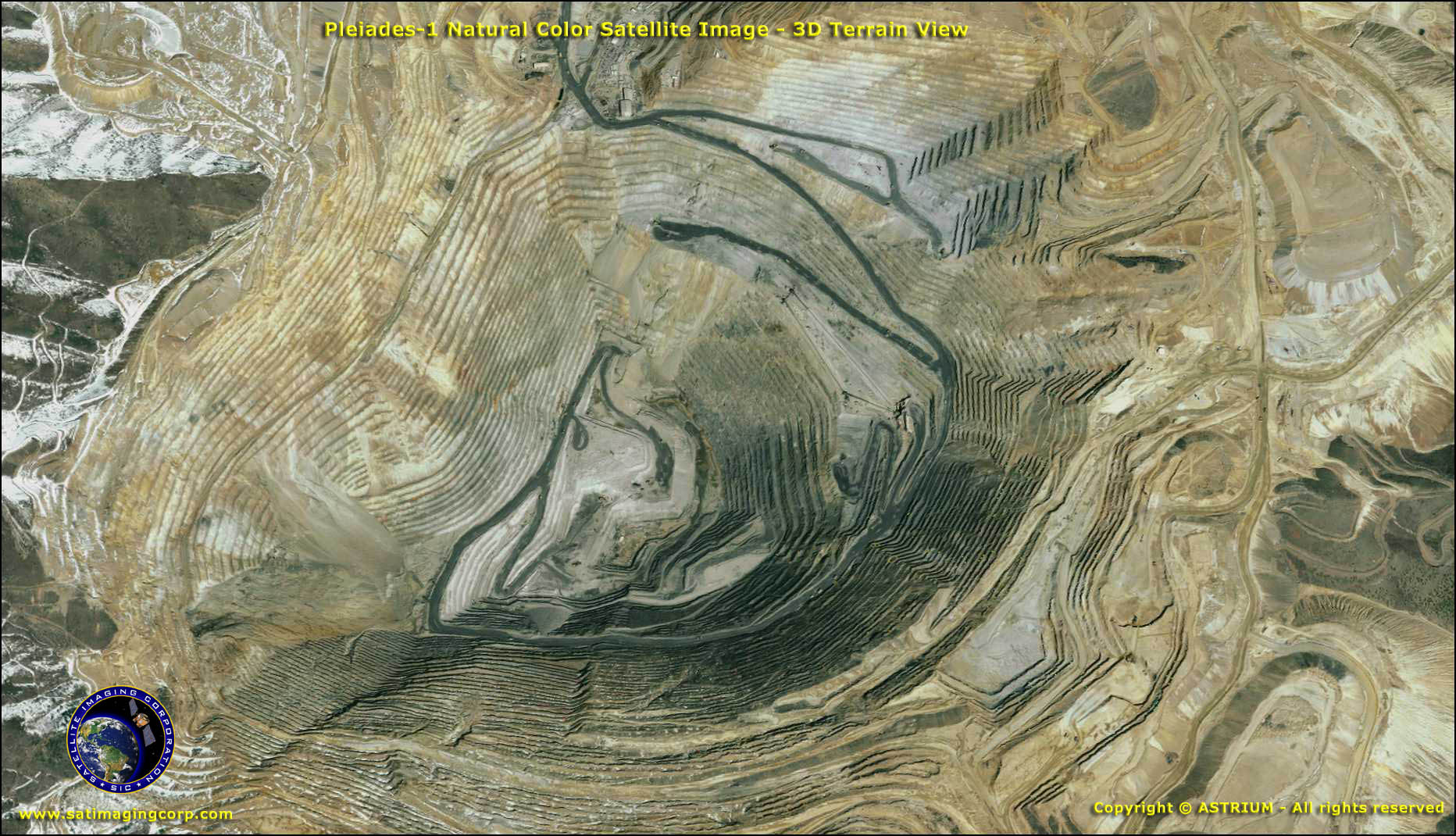
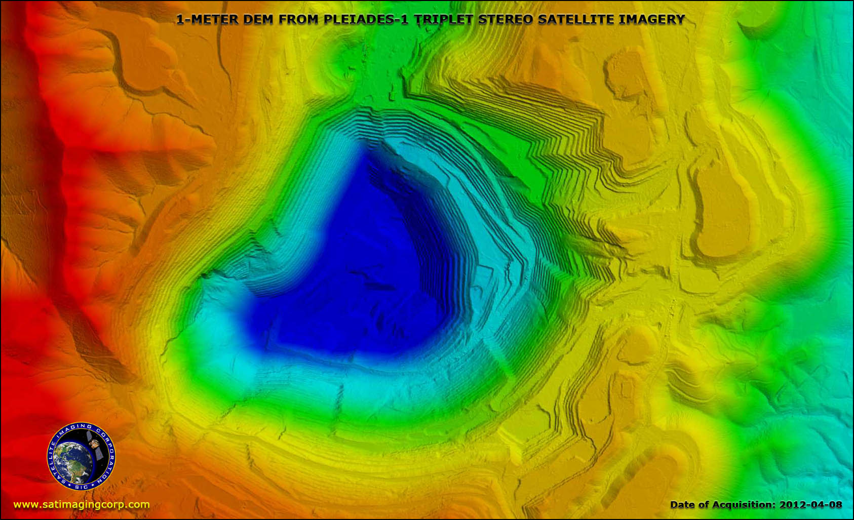
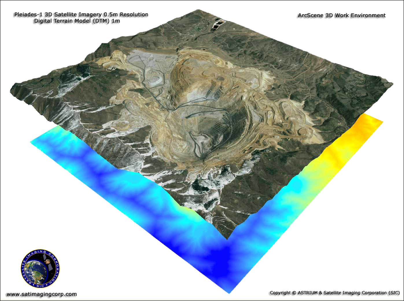
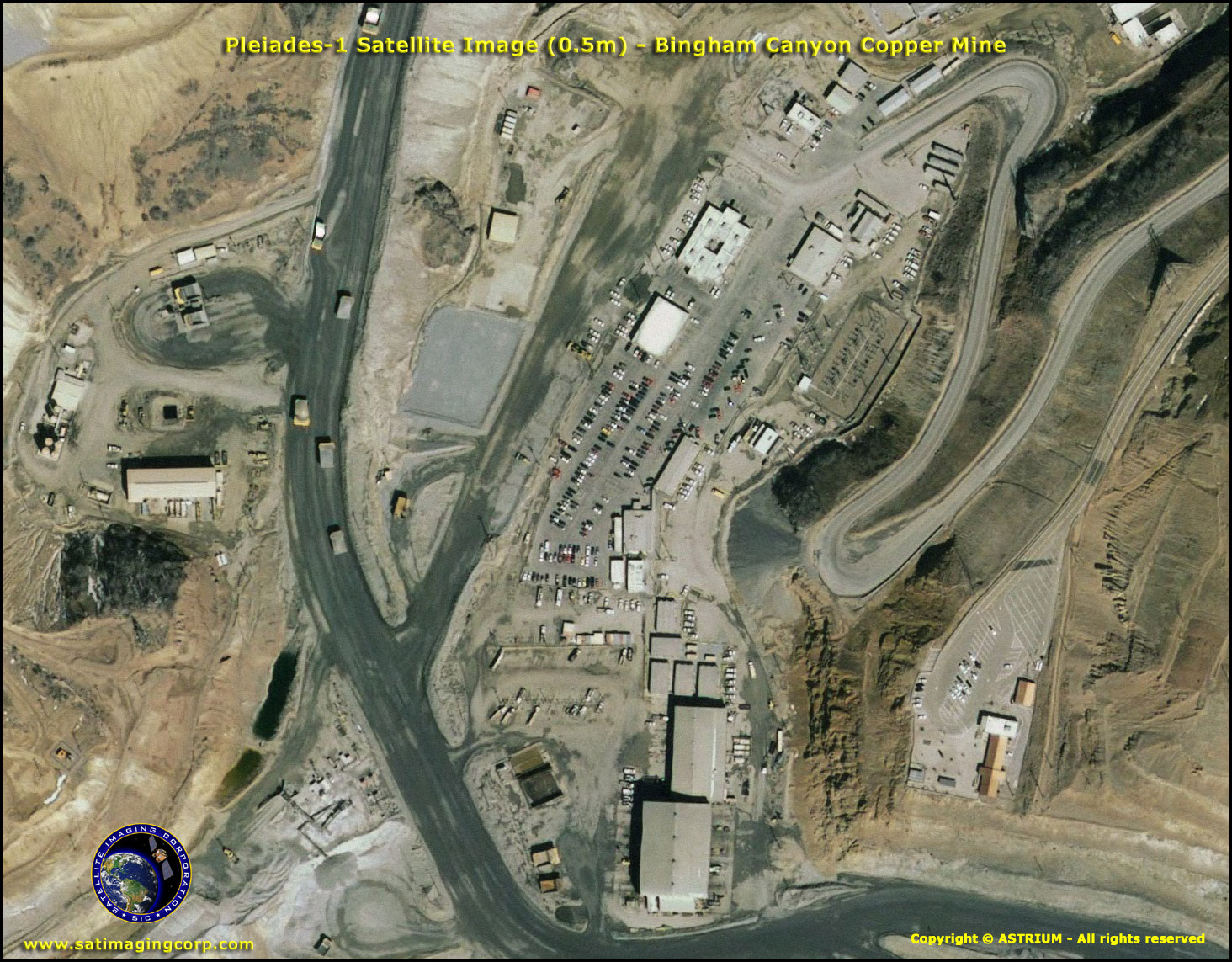
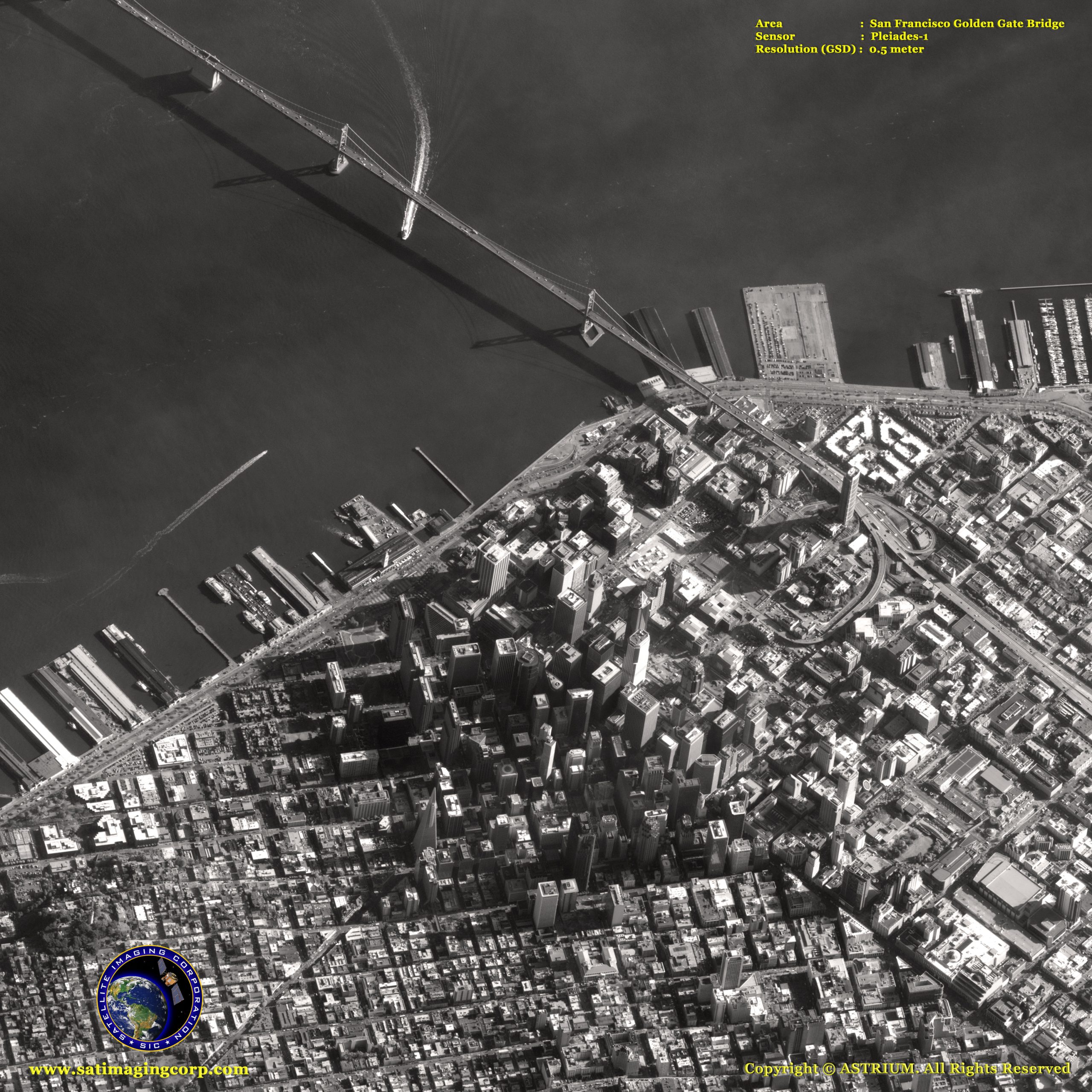
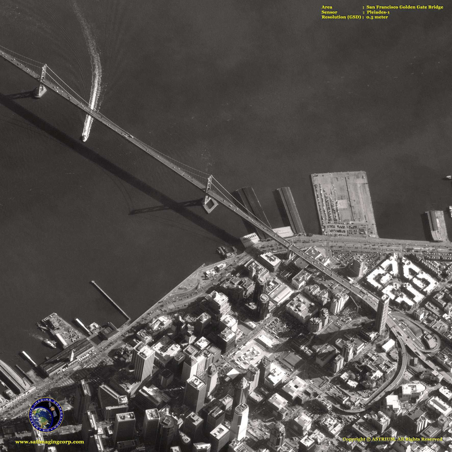
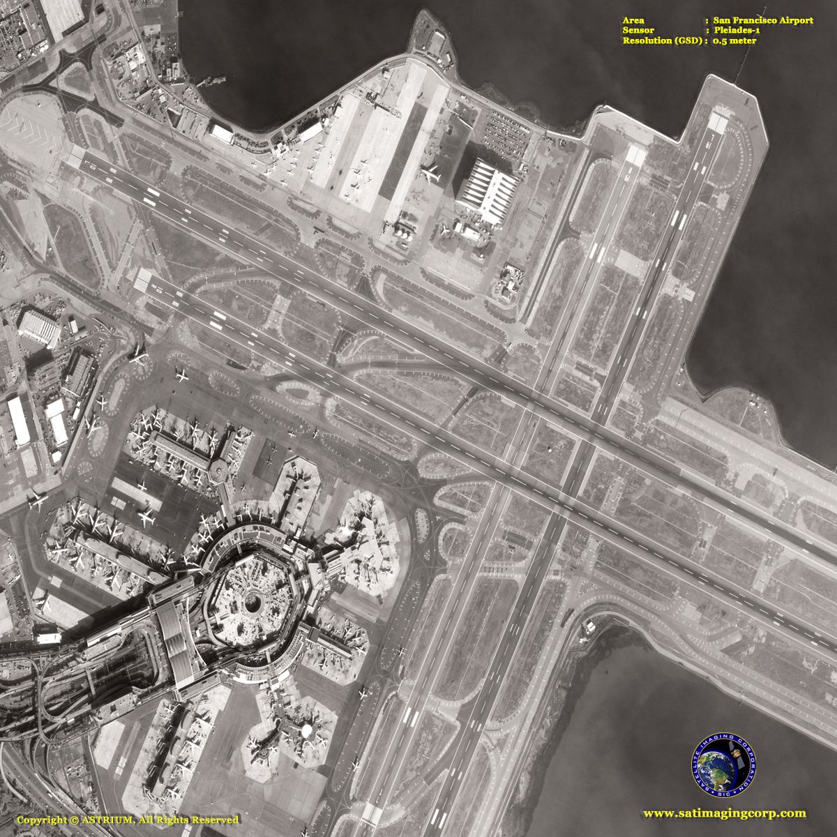
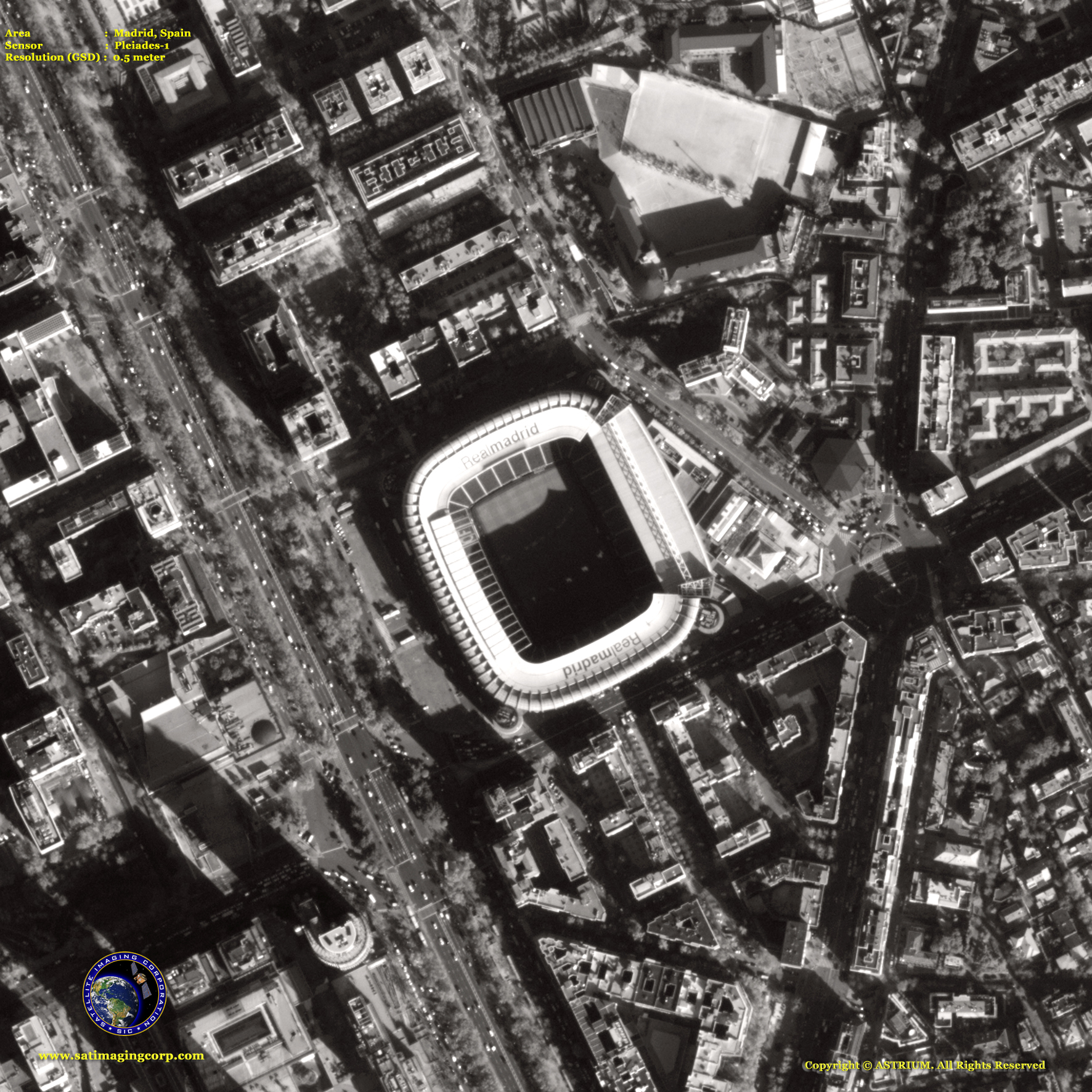
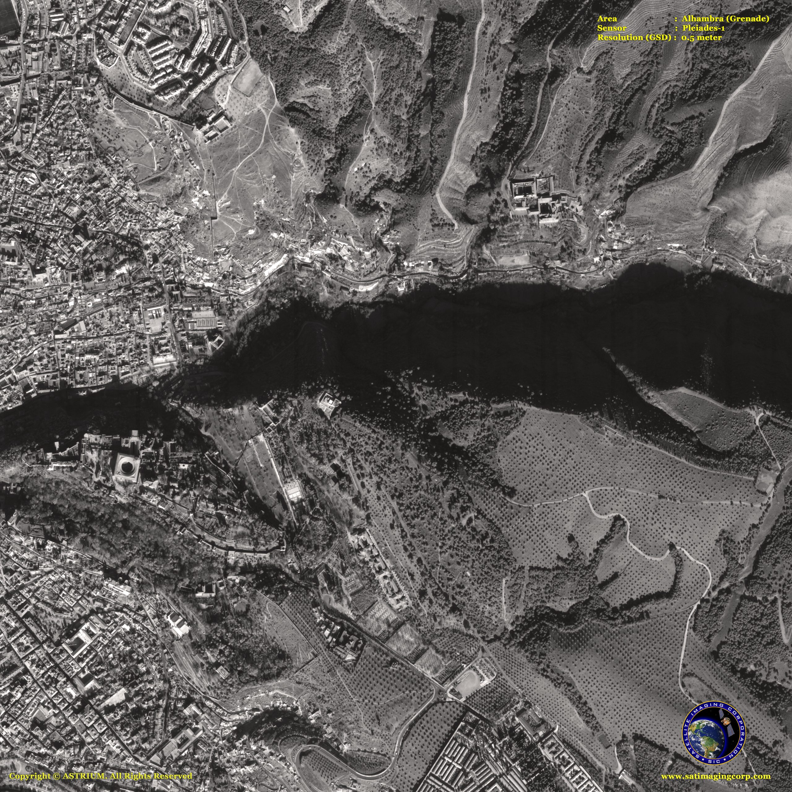
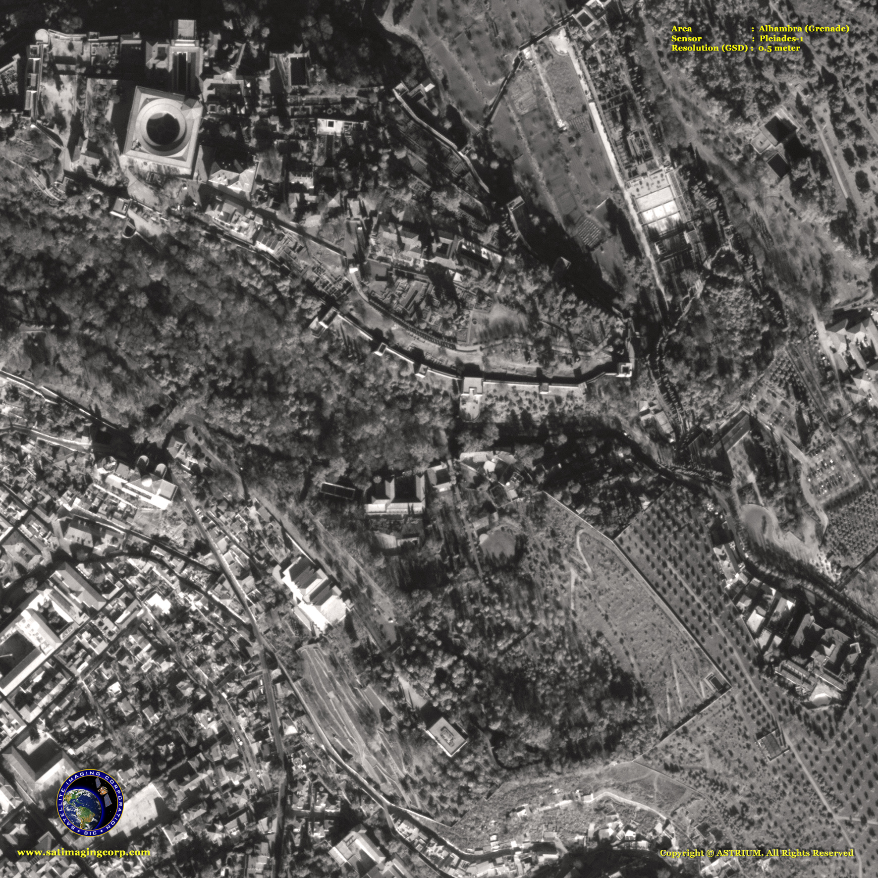
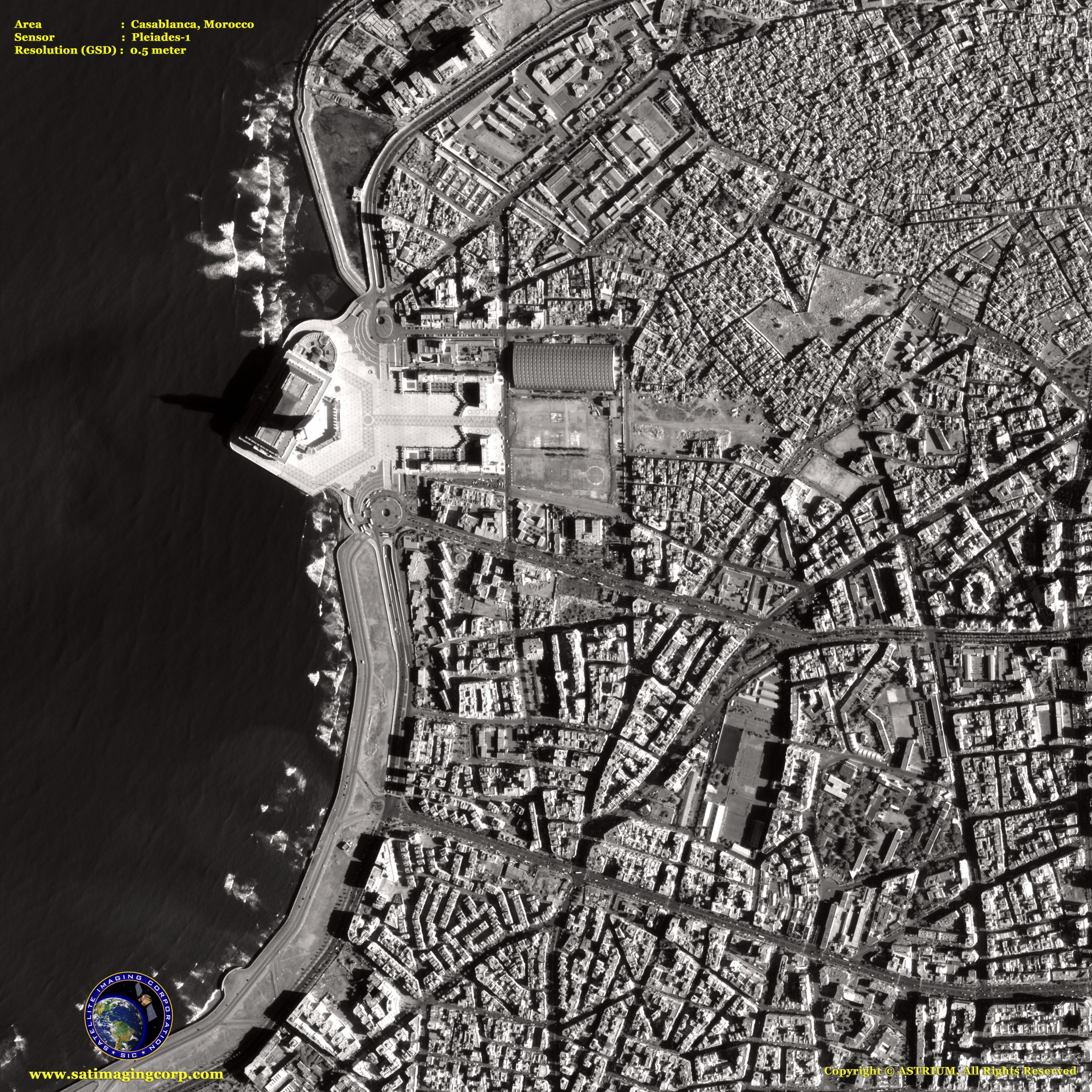
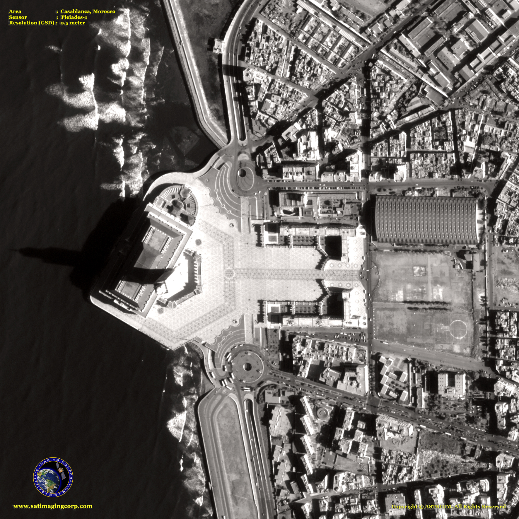
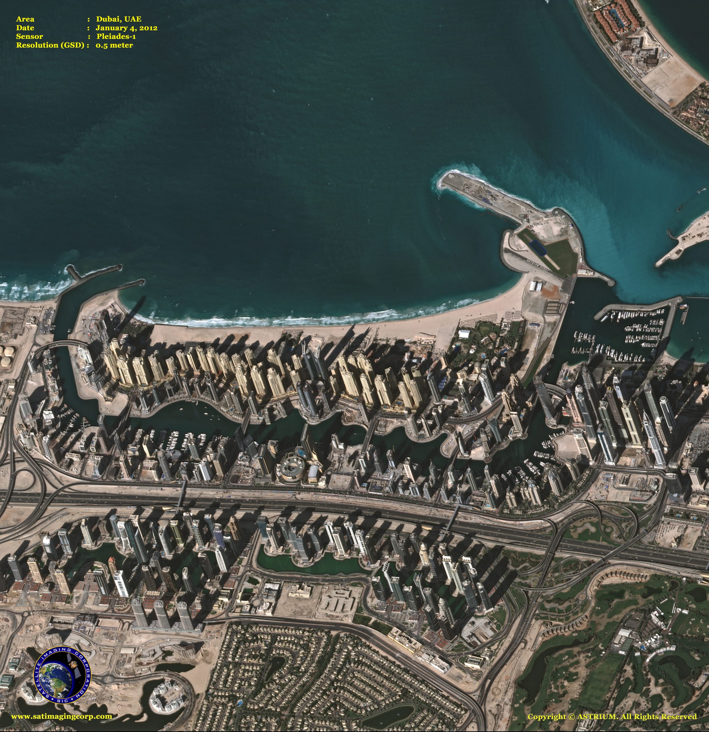
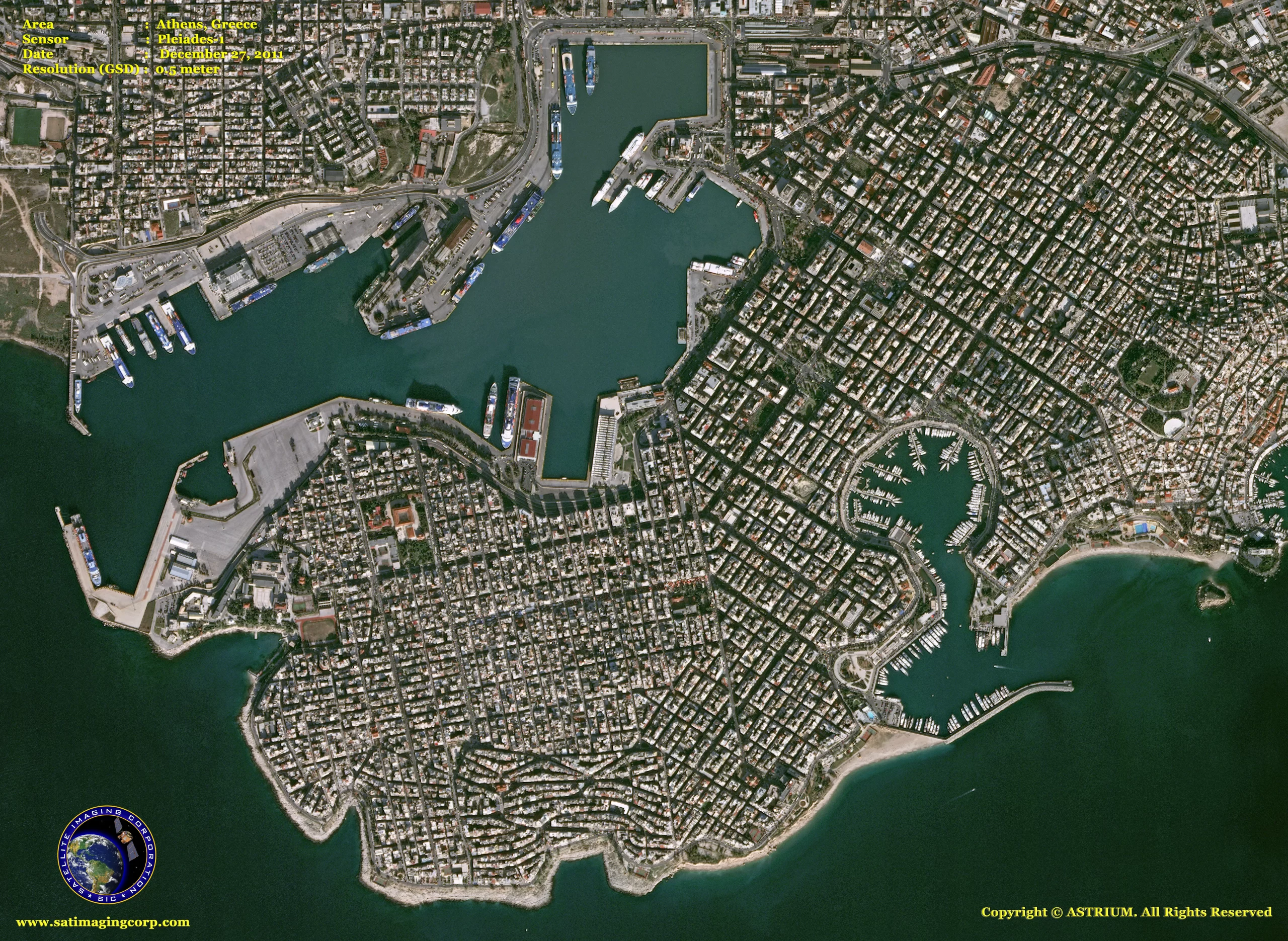
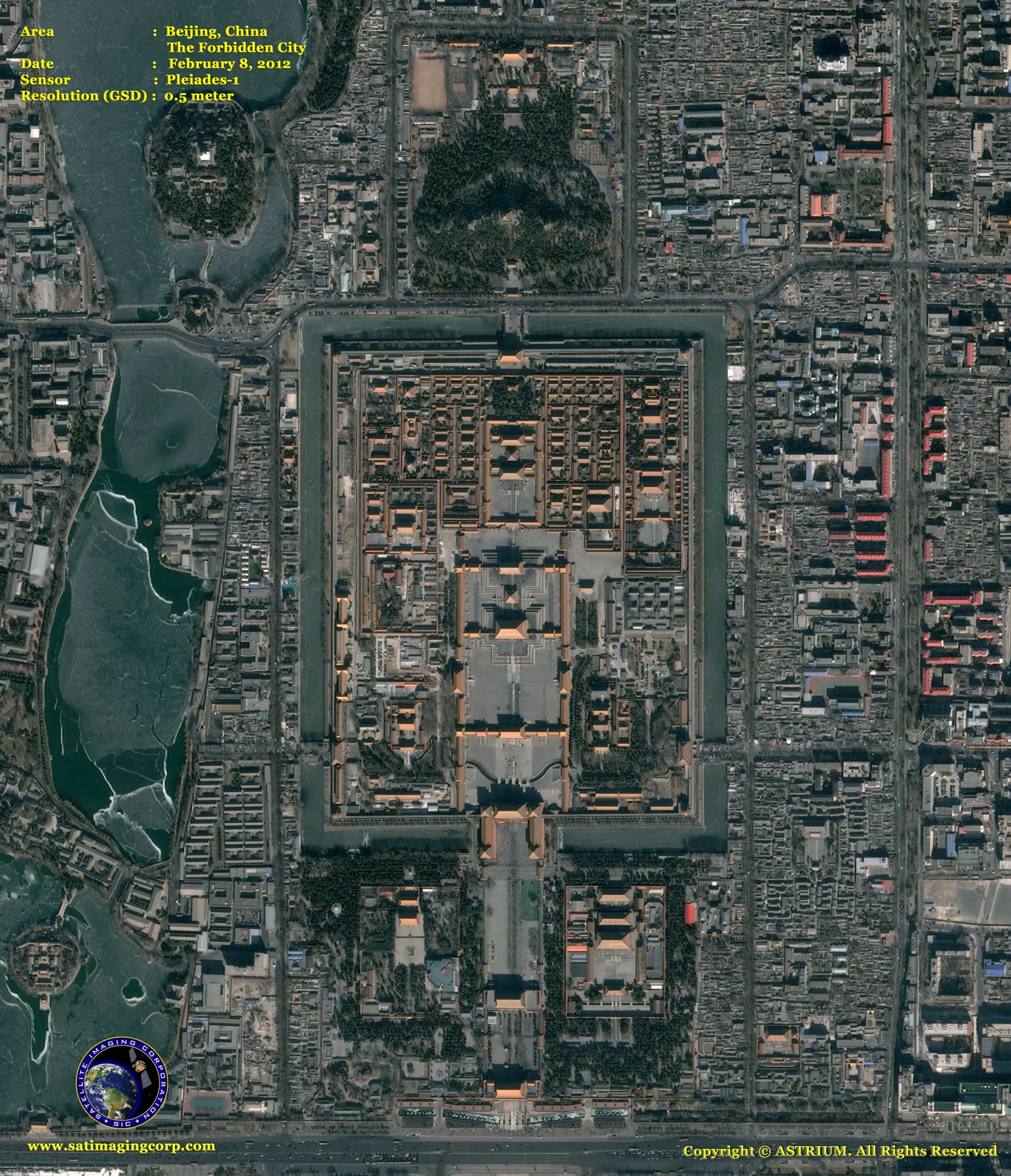
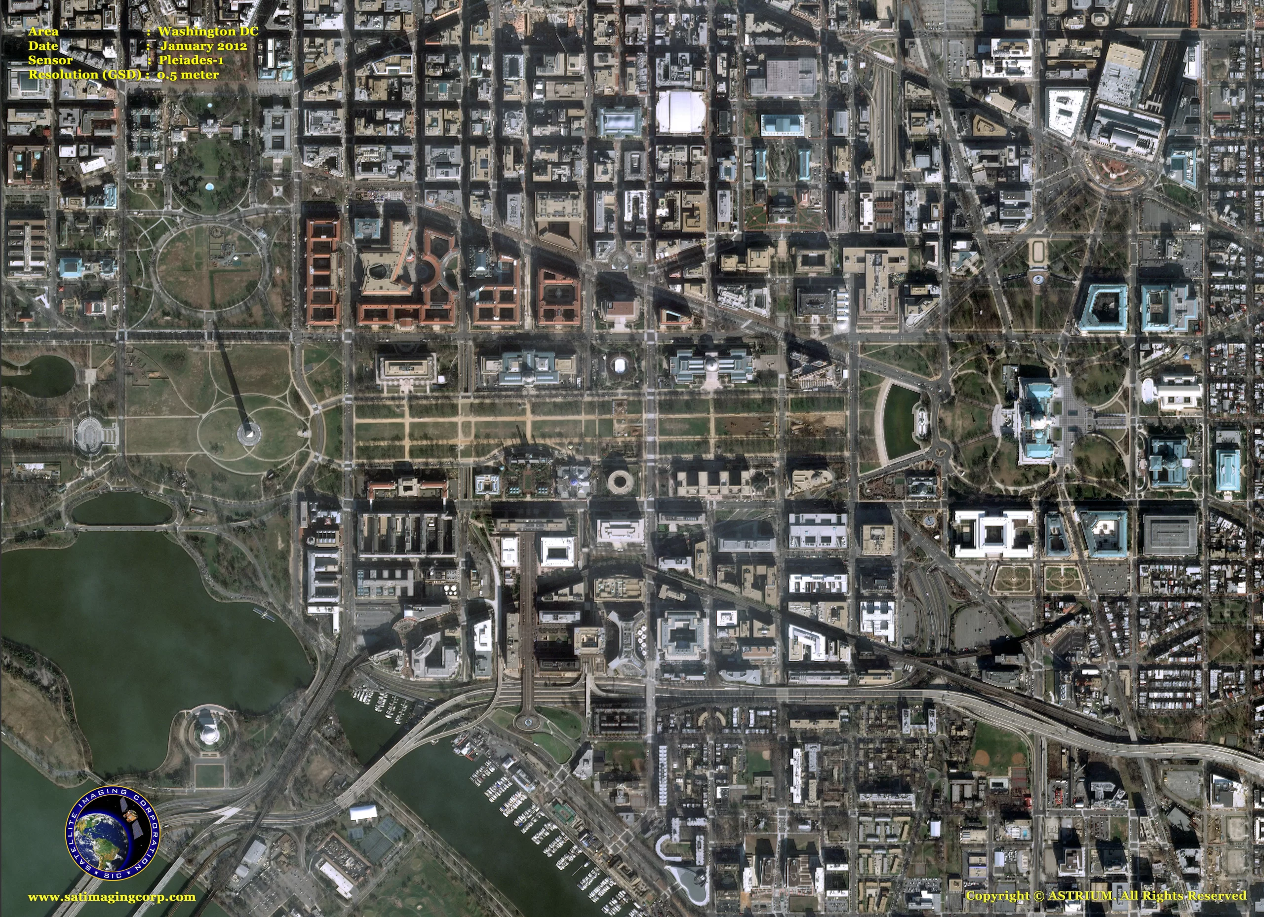
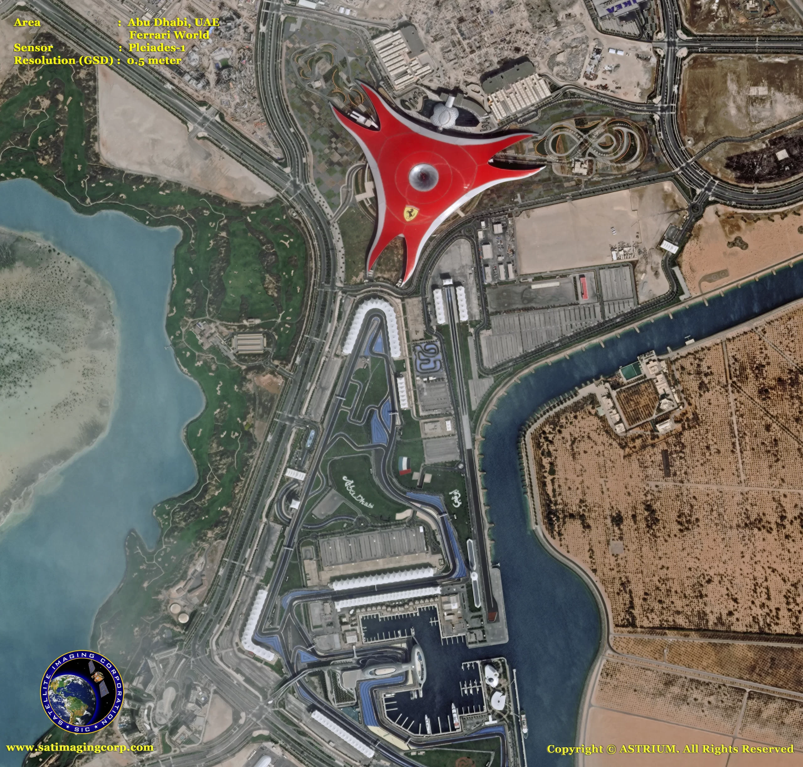
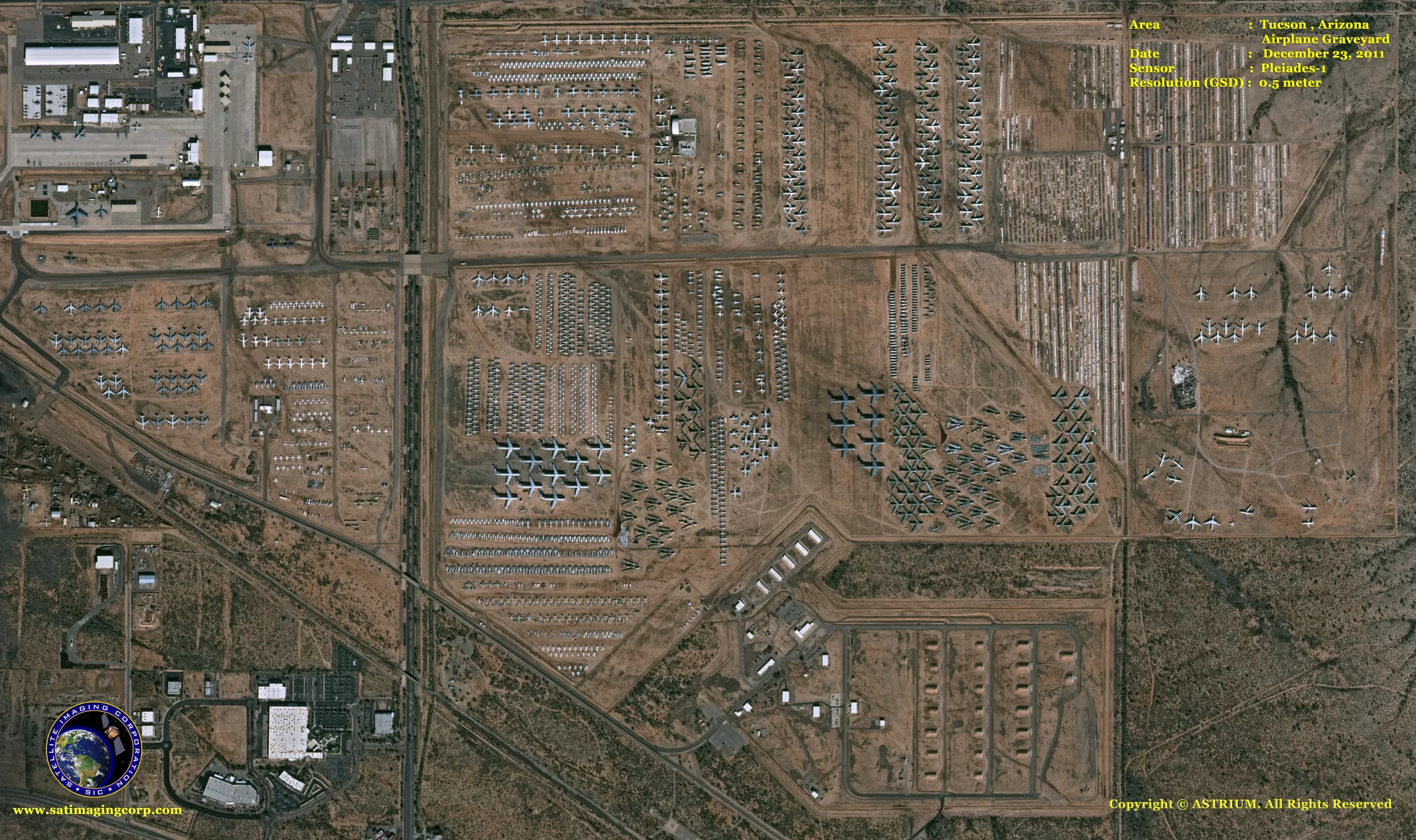
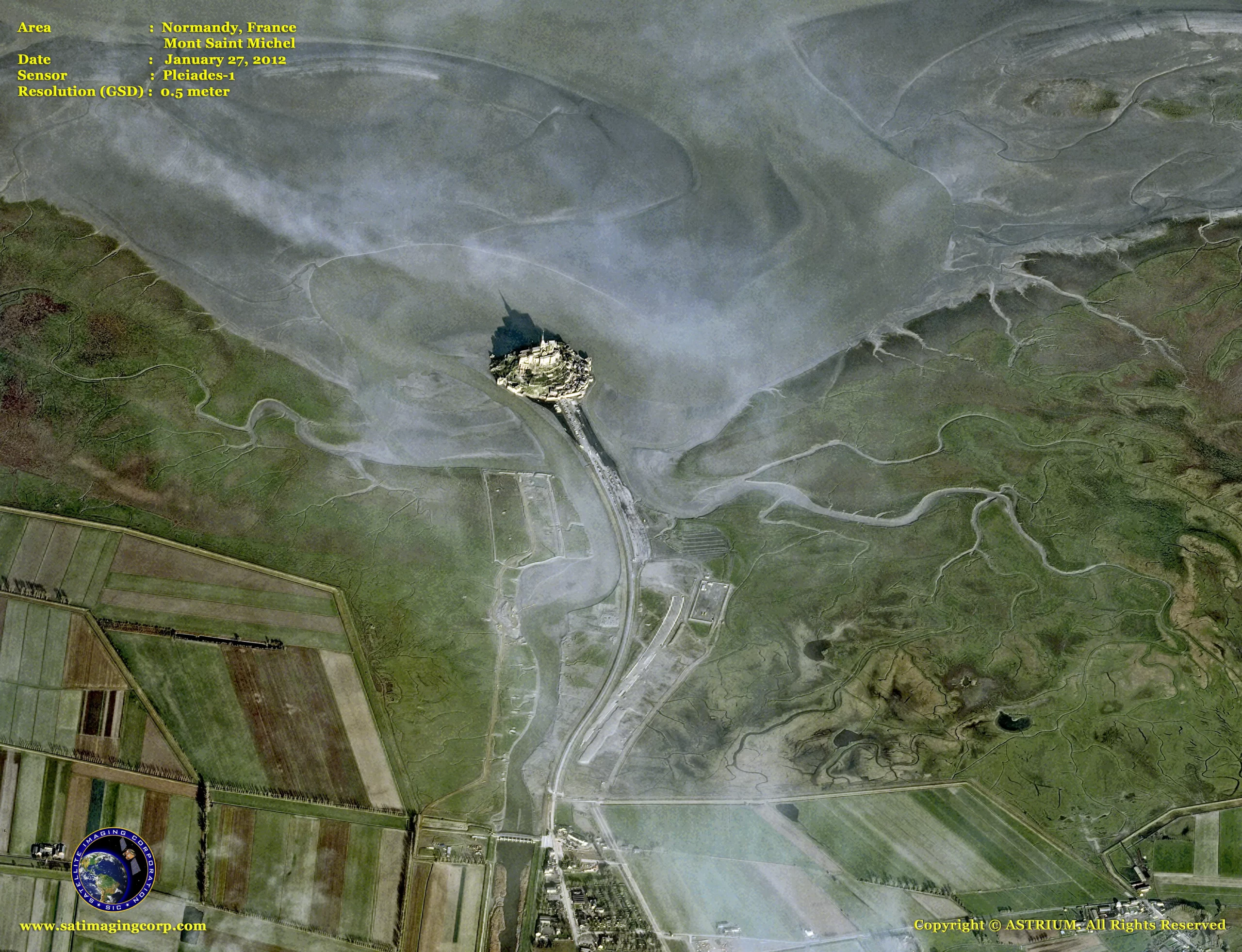
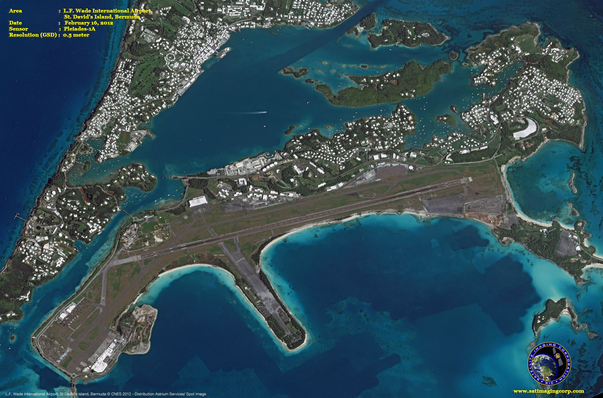
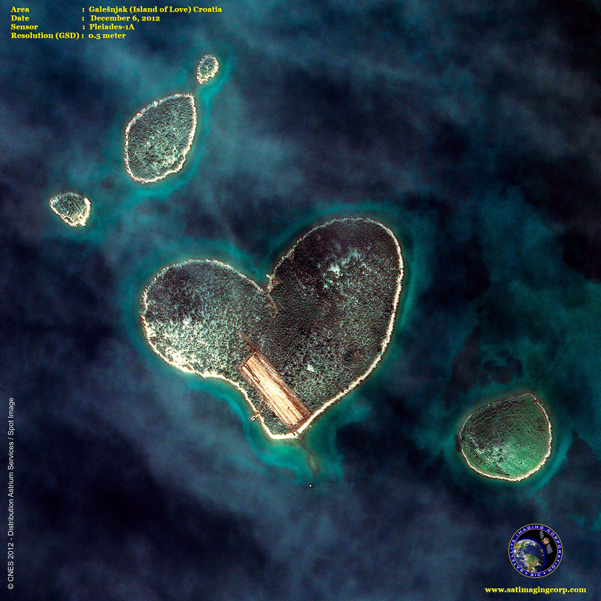
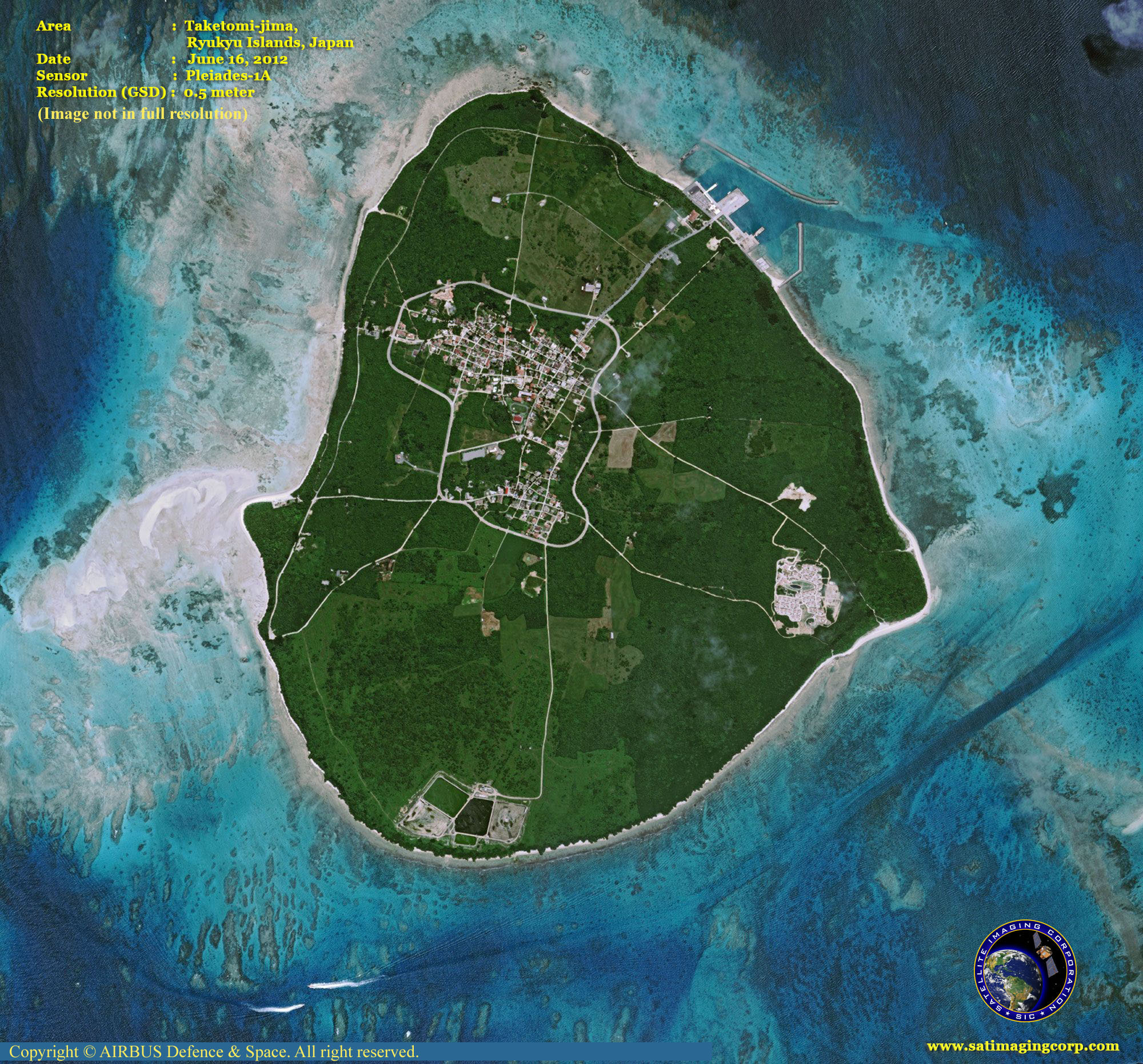
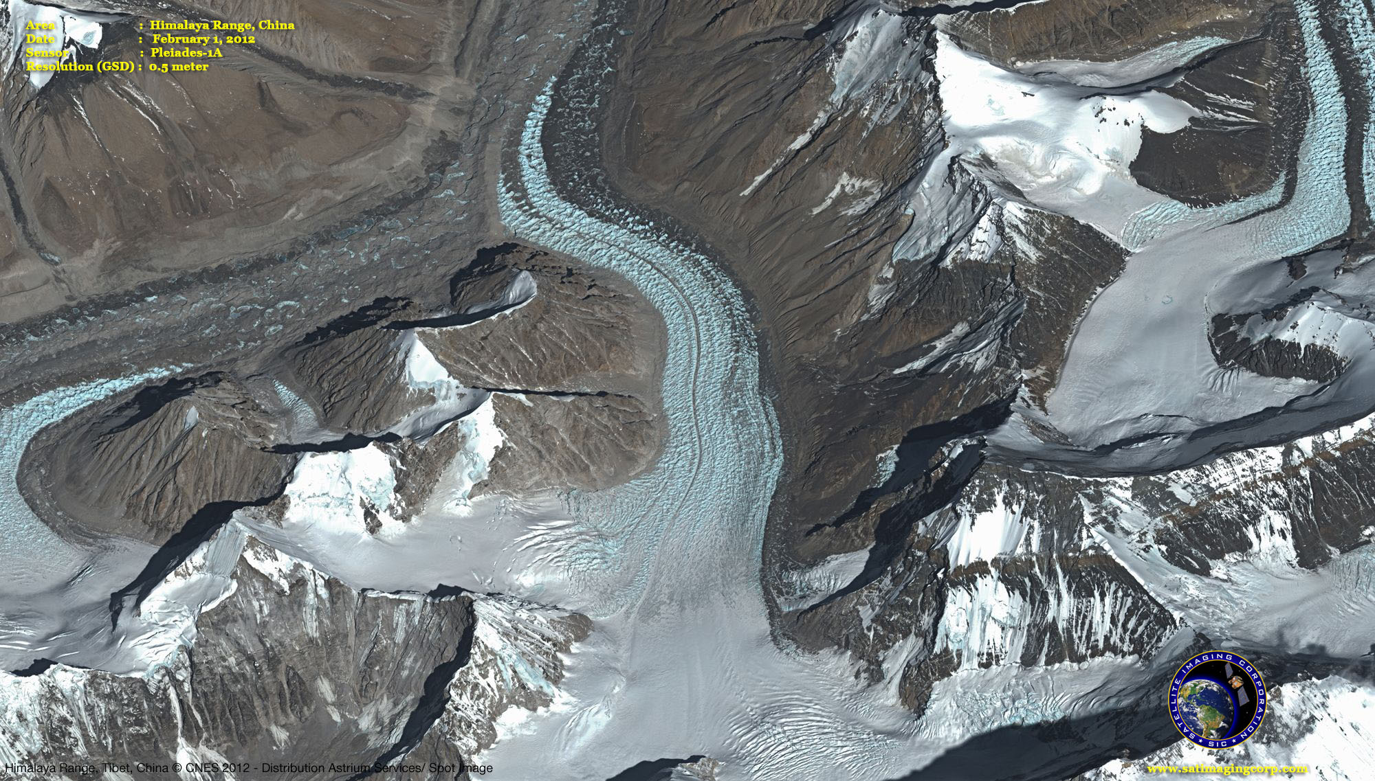
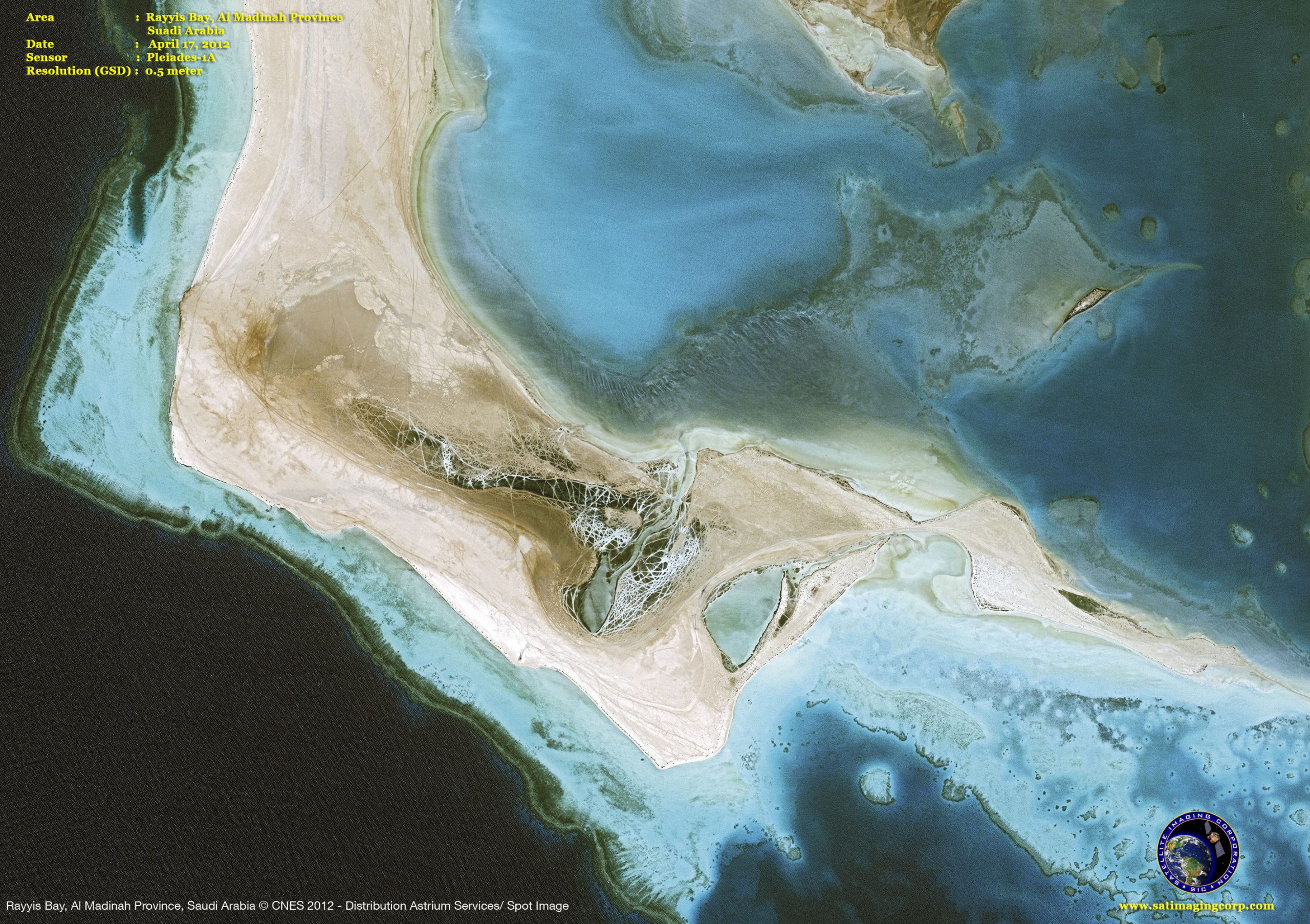
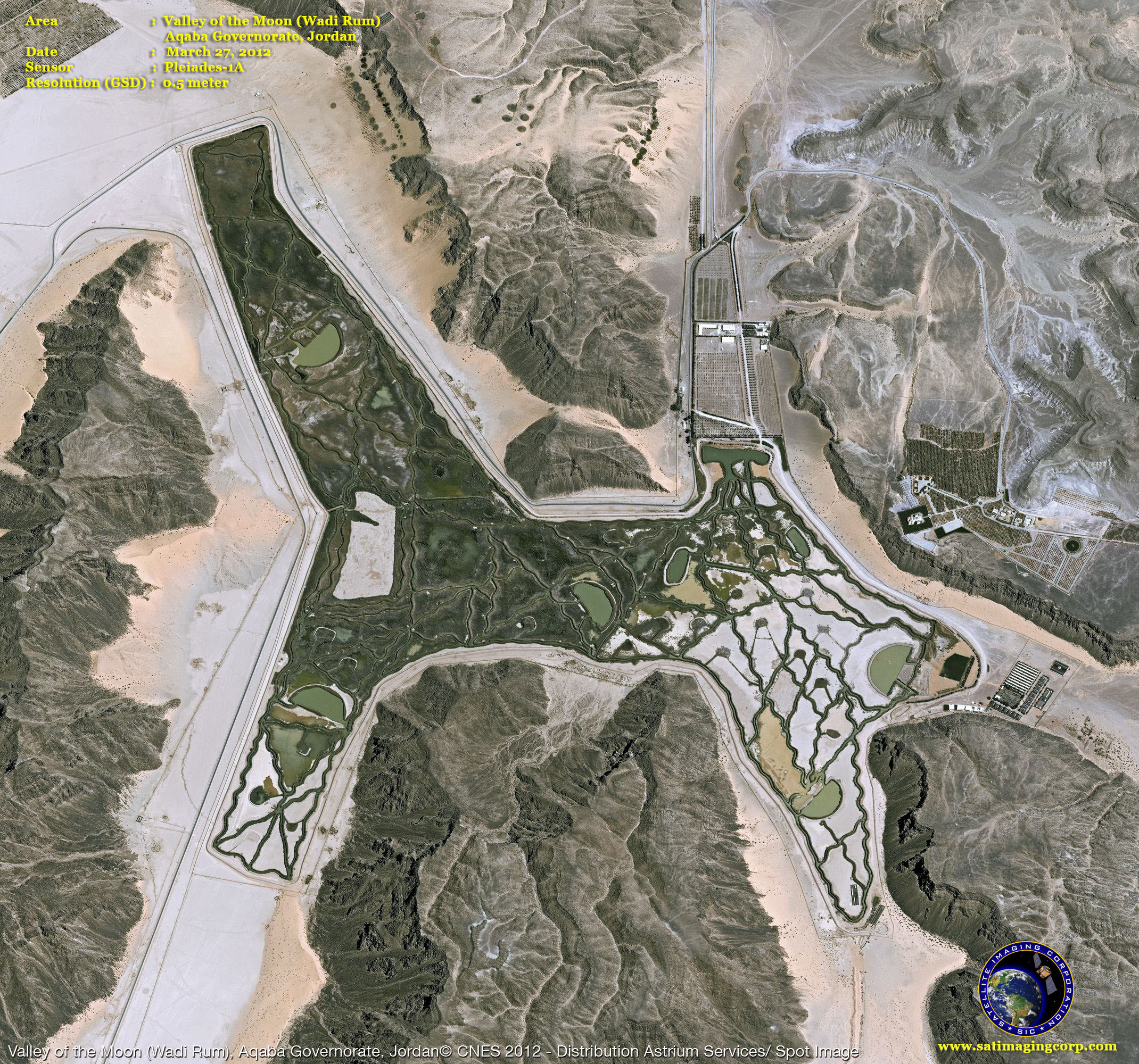
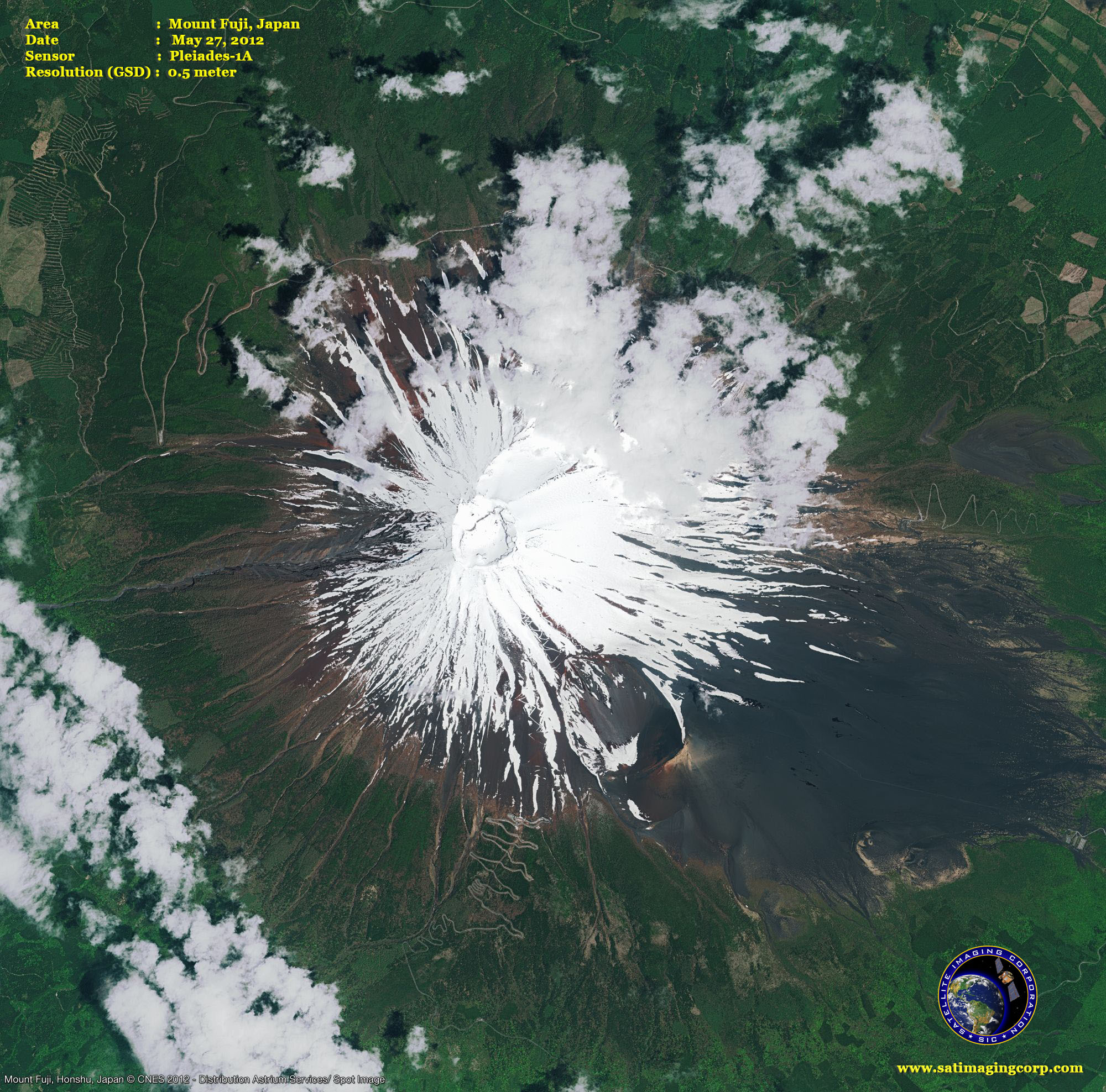
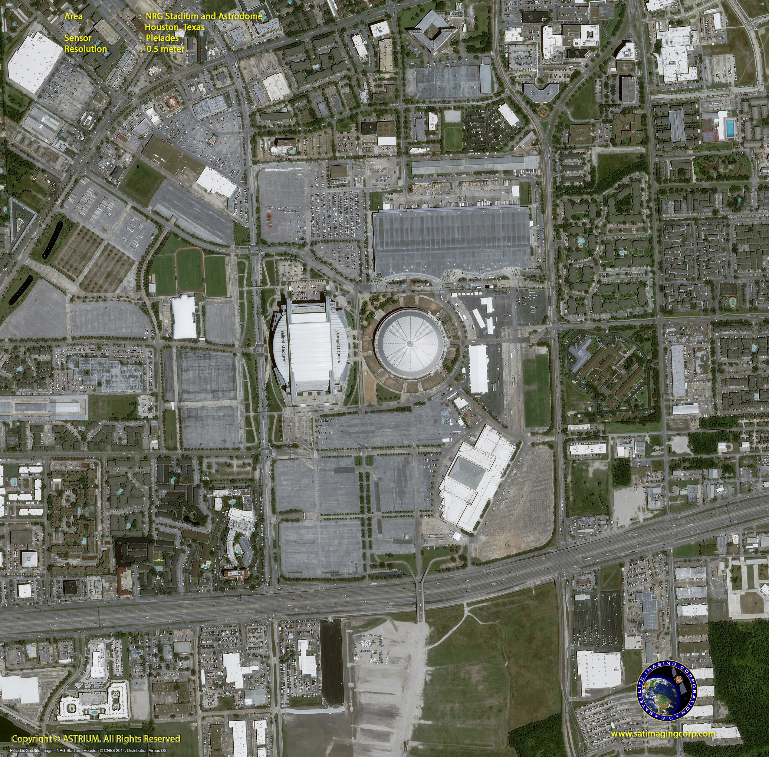
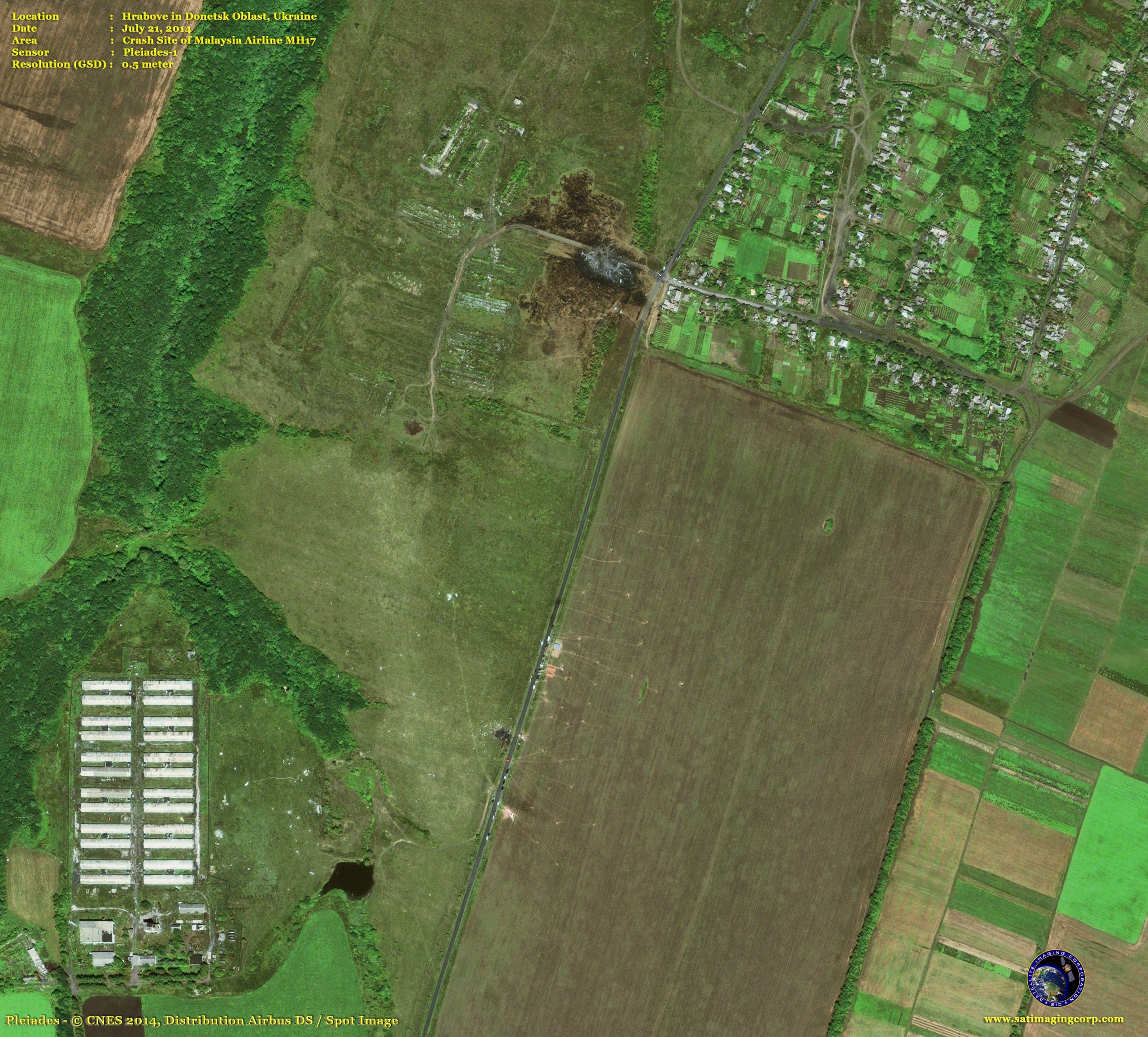
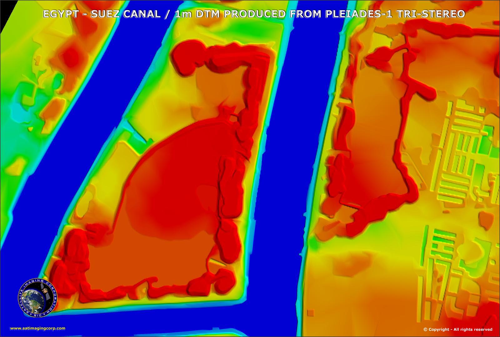
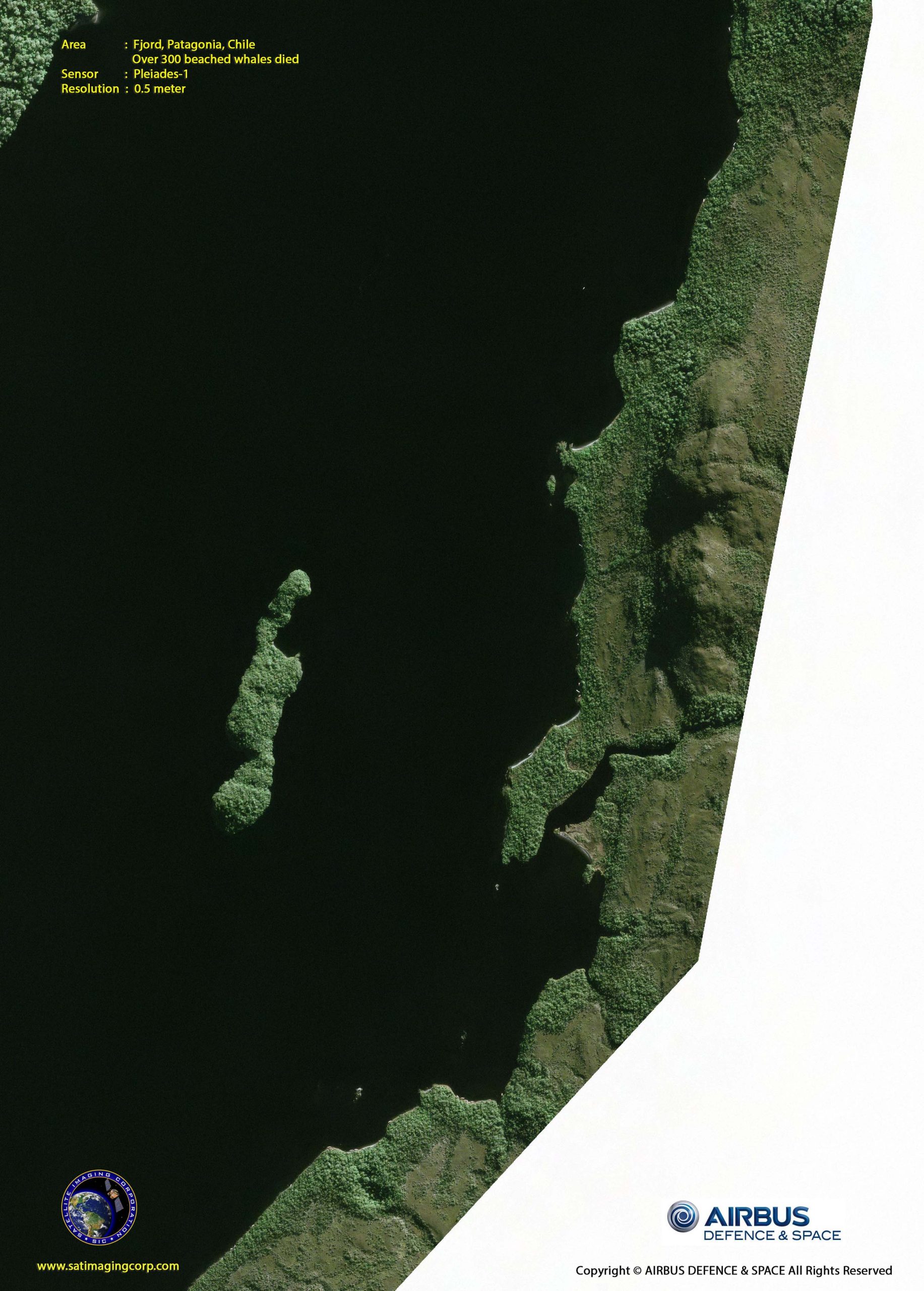
Sample Images
Pleiades-1A Satellite Image Gallery
* Click on thumbnail to view in full resolution.
For more information on any of our products and image processing services, please contact us for a complimentary consultation.
Pleiades-1A Satellite Sensor Characteristics
Imagery Products
50-cm panchromatic
50-cm color (pansharpened)
2-meter multispectral
Bundle: 50-cm panchromatic and 2-meter multispectral
Spectral Bands
Panchromatic: 480-830 nm
Blue: 430-550 nm
Green: 490-610 nm
Red: 600-720 nm
Near Infrared: 750-950 nm
Preprocessing Levels
Sensor
Ortho
Image Location Accuracy
With ground control points: 1m
Without ground control points: 3m (CE90)
Imaging Capacity
Daily constellation capacity: 1,000,000 sq.km.
Strip mapping (mosaic): 100 km x 100 km
Stereo imaging: 20 km x 280 km
Max. spots over 100 km x 200 km: 30 (crisis mode)
Imaging Swath
20 km at nadir
Revisit Interval
Daily (Pleiades-1A and 1B)


