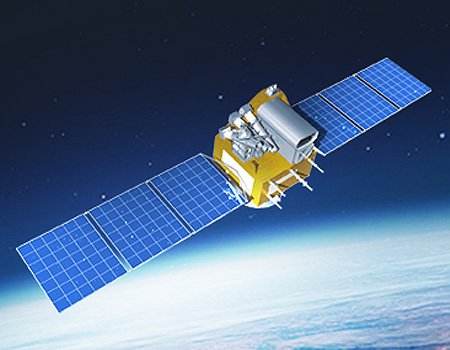
TH-01 Satellite Sensor
(2m)
TH-01 Constellation can collect 2m panchromatic, 10m multispectral, and 5-meter triplet stereo (Back-Nadir-Forward), and supports applications for 3D terrain mapping and production of 10m DSM/DEM and DTM elevation models, contours to support engineering, surveying, and mapping projects.
TH-01 Satellite Sensor (2m)
Copyright ©Twenty First Century Aerospace Technology Co., Ltd. (21AT)
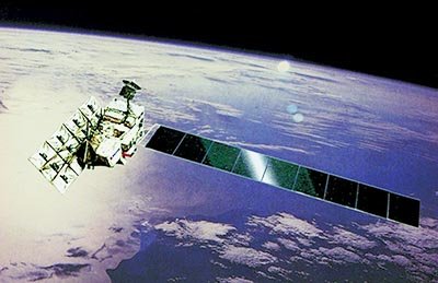
FORMOSAT-2 satellite carries both “remote sensing” and “scientific observation” tasks in its mission. The spacecraft is operating nominally as of 2006.
The FORMOSAT-2’s Image Processing System (IPS) is independently developed by NSPO. It is designed to process images by tasking the satellite according to the user’s needs. Images are then taken and downloaded through X-band antenna, then crossed with through IPS such as radiometric and geometric corrections and stored in computers. These files will be delivered to the end-users based on the clients’ requests.
FORMOSAT-2 satellite imagery support monitoring and detecting land change for any specific region for various industries and mapping applications. Users can task the satellite to keep track by scheduling revisits to detect changes on land and infrastructures, to observe movement over time, and helps to keep a current database to know what is happening on the ground so users can make informed decisions.
Sample Images
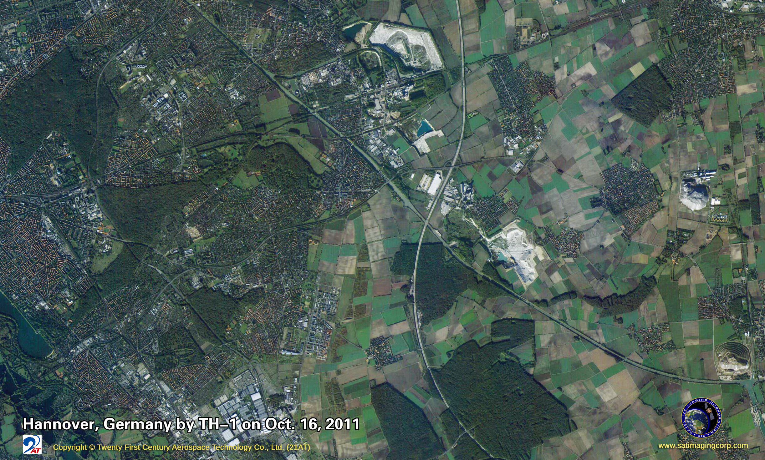
TH-01 Satellite Image Gallery
* Click on thumbnail to view in full resolution.
For more information on any of our products and image processing services, please contact us for a complimentary consultation.
TH-01 Satellite Sensor Specifications
Sensor
TH-01 ( 3 satellites constellation)
Launch Date
Aug. 24 2010; May 6 2012; Oct. 26 2015
Mission Life
3 Years
Weight
1000kg
Orbit Altitude
500km
Strip Width (Nadir)
60km
Pan Resolution
2m
Multi-Spectral Resolution
10m
Multi-Spectral Wavelength
0.43um~0.52um Blue
0.52um~0.61um Green
0.61um~0.69um Red
0.76um~0.90um NIR
Triplet Stereo Resolution
5m
Triplet Stereo Wavelength
0.51um ~ 0.69um
Orbit Period
58 days
Revisit Time
5 days
Orbit
Sun Synchronous


