Engineering and Construction
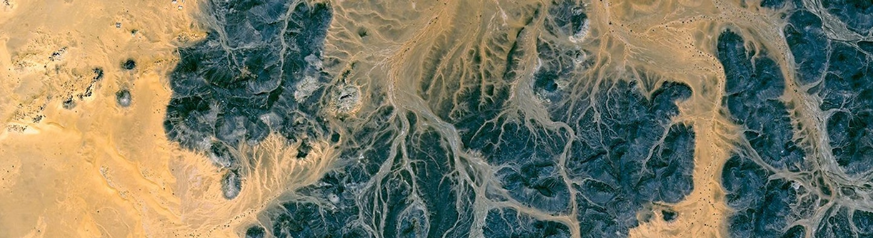
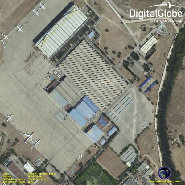
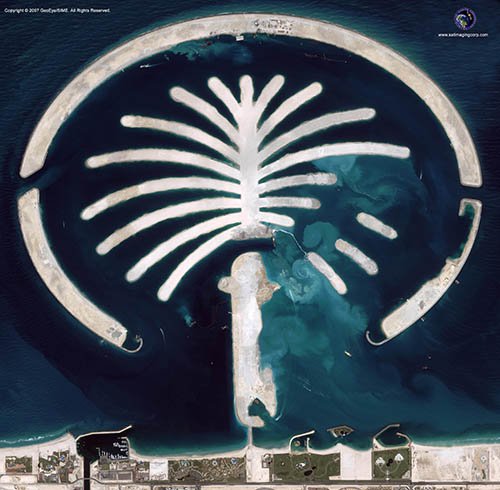
Satellite images provide an economical, accurate, and rapid means of obtaining a quick assessment for any significant construction or engineering project, e.g., airstrip, bridge, dam, water, power plant, sewer, industrial park, canal and storm utilities, etc.
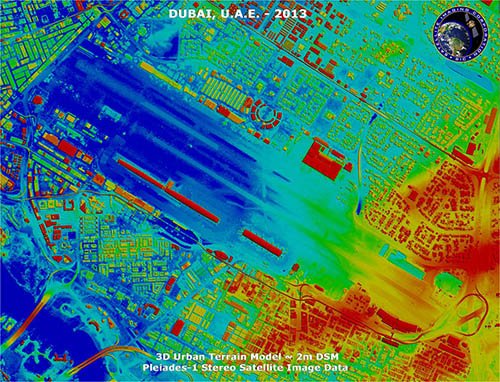
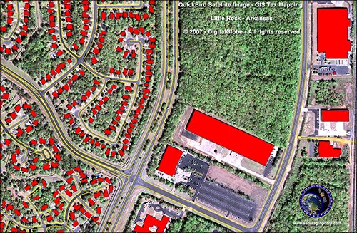
Satellite Imaging Corporation’s team has experience in Geographic Information Systems (GIS), Global Positioning System (GPS) and is qualified in feature extraction, manipulation, and provides accurate and orthorectified geo-referenced satellite image data. Our orthorectified, geo-referenced satellite image processing and GIS mapping services are an economical, accurate, and rapid method of visualizing your project from above. Additionally, our services are invaluable when evaluating and choosing a construction site.

Consultancy
Ongoing remote sensing, geodetic, and GIS mapping consultancy services are provided to our clients, including the set-up of reliable source coordinate databases in support of computerized mapping, exploration, and development of projects around the world and to clients implementing a GIS Project, utilizing a variety of source data, referenced to various survey datums and mapping projections. For more information or for a consultation, please contact us.