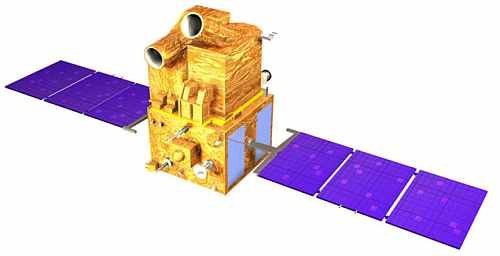
CARTOSAT-1 Satellite Sensor
(2.5m)
CARTOSAT-1 satellite sensor was built by ISRO (Indian Space Research Organization) which is mainly intended for cartographic applications was launched by the PSLV on May 5, 2005, at Sriharikota, India.
CARTOSAT-1 carries two panchromatic cameras that take black-and-white stereoscopic pictures in the visible region of the electromagnetic spectrum.
The satellite images have a spatial resolution of 2.5-meters and cover a swath of 30 km. The cameras are mounted on the satellite in such a way that near simultaneous imaging of the same area from two different angles is possible. This facilitates the generation of accurate three-dimensional maps. The cameras maneuver across the direction of the satellite’s movement to facilitate the imaging of an area more frequently. The images taken by CARTOSAT-1 cameras are compressed, encrypted, formatted, and transmitted to the ground stations.
CARTOSAT-1 Satellite Sensor (2.5m)
Copyright © ISRO. All rights reserved.
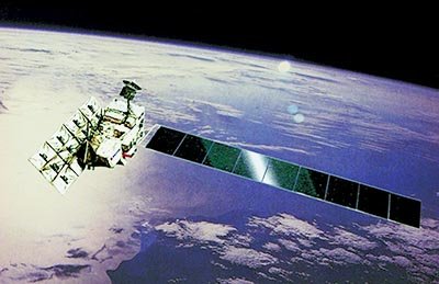
CARTOSAT-1 satellite also carries a Solid State Recorder with a capacity of 120 Giga Bits to store the images taken by its cameras. The stored images can be transmitted when the satellite comes within the visibility zone of a ground station.
After its separation from the fourth stage of PSLV, CARTOSAT-1 is made to accurately point towards the earth through a series of complex maneuvers. This is followed by a thorough checkout of the satellite, switching on the cameras, and fine-tuning of the orbit.
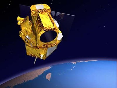
With improved spatial resolution and stereo imaging capability, it will enable the generation of Digital Elevation Models (DEMs) and other value-added products. The data from CARTOSAT-1 is expected to provide enhanced inputs for large scale mapping applications and stimulate newer applications in the urban and rural development,land and water resources management, disaster assessment, land cover change detection, relief planning and management, environmental impact assessment, and various other Geographical Information Systems (GIS) applications.
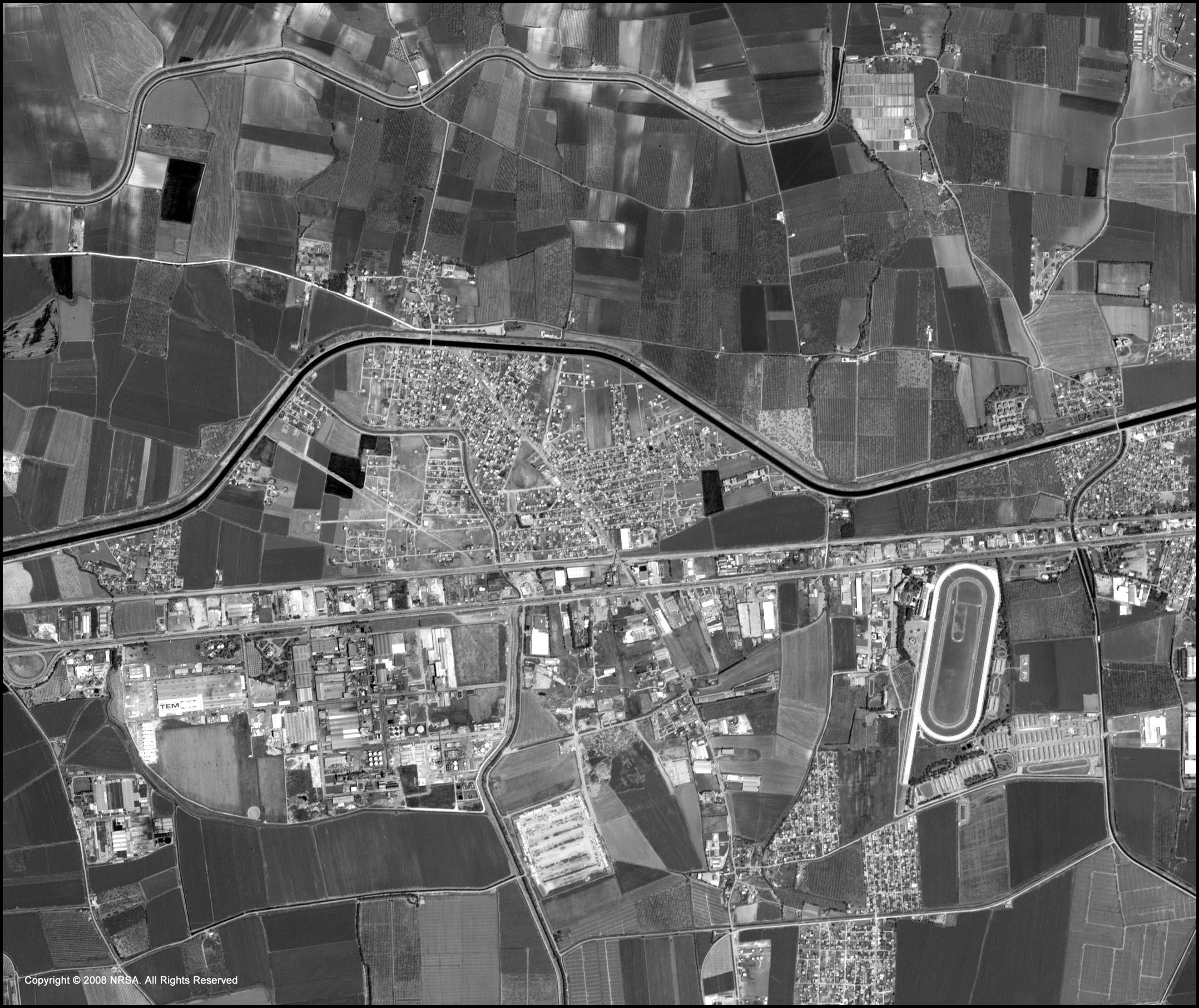
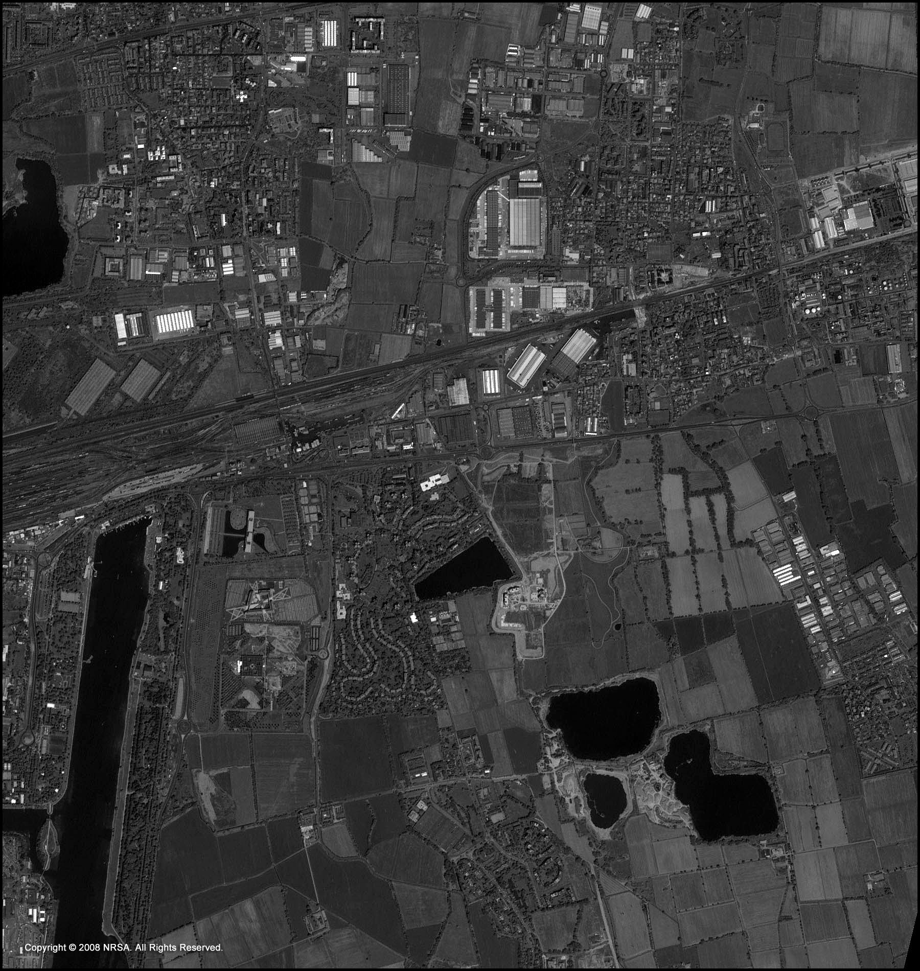
Sample Images
CARTOSAT-1 Satellite Image Gallery
* Click on thumbnail to view in full resolution.
For more information on any of our products and image processing services, please contact us for a complimentary consultation.
CARTOSAT-1 Satellite Sensor Specifications
Resolution
2.5m
Launch Date
May 5, 2005
Launch Location
Sriharikota, India
Nominal Altitude
617.99 km
Orbits Per Day
15
Orbital Repeat Cycle
116 days
Nominal Wait Time to Acquire Adj.Path
11 days
Max. Wait Time for Revisit
5 days
Node for P/L Operations
Descending Node
Local Time for Equatorial Crossing
10:30 AM
Orbital Parameters
Semi-major axis
6996.128 km
Eccentricity
0.001
Inclination
97.87 degrees


