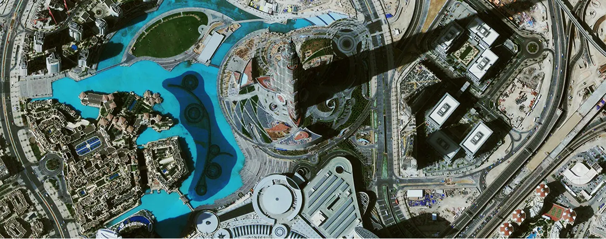
About Feature Extraction
Satellite Imaging Corporation (SIC) uses satellite image processing techniques to analyze and extract information from high resolution satellite imagery to create single, data-rich images for GIS maps for many applications to achieve a multi-layered result for many types of analysis.
Feature extraction include structures and facilities of buildings, bridges, airports, land use, land cover, vegetation classification (agriculture, forestry, environmental, mineral), water bodies, well locations, soil types, pipelines and more.
QuickBird (0.6m) Satellite Image
Little Rock, Arkansas – GIS Map Tax
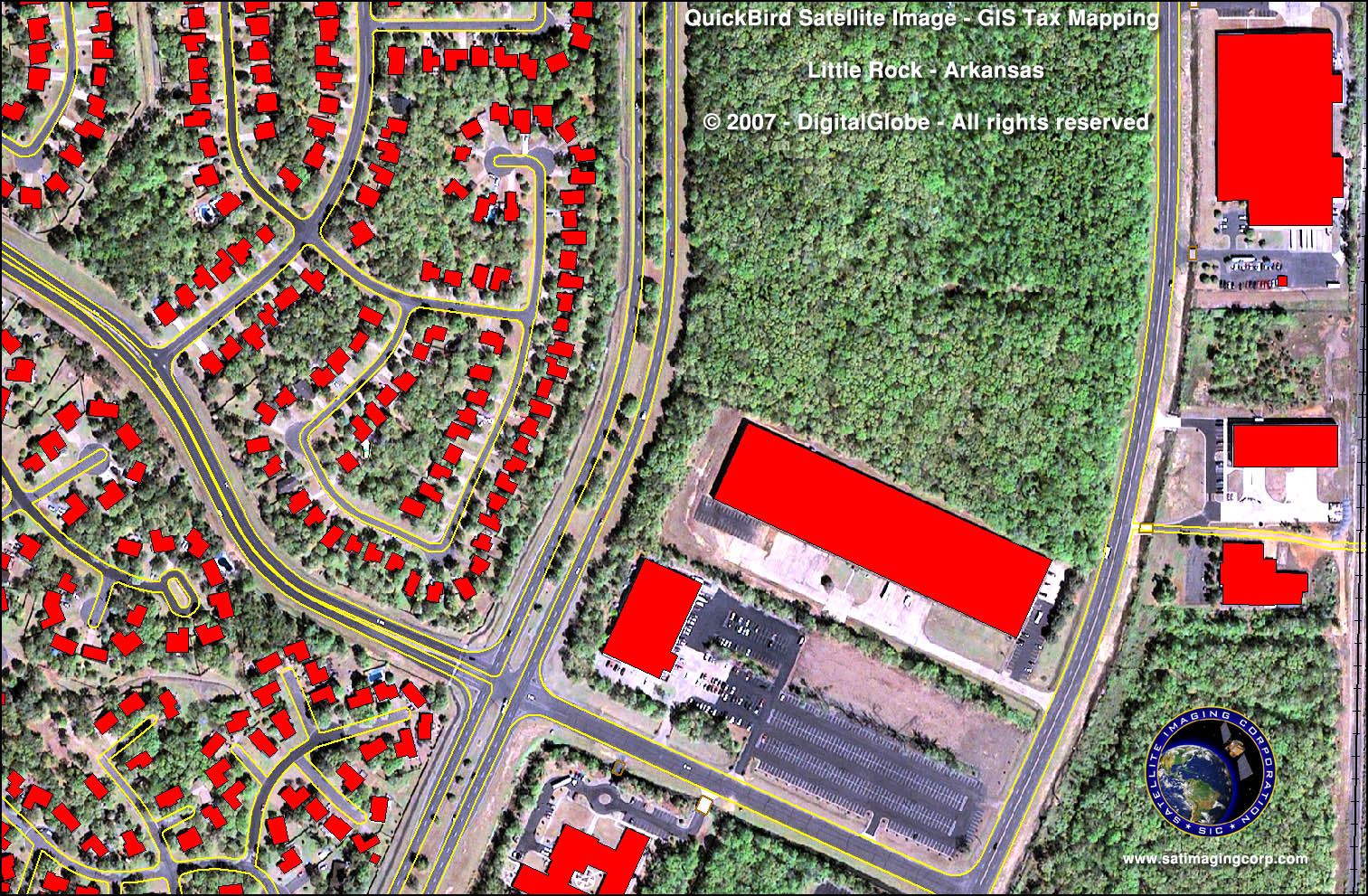
Copyright © MAXAR/GIS Map processed by Satellite Imaging Corporation. All rights reserved.
One of the primary services provided by SIC during the implementation of a GIS map is the georeferencing of various data layers for mapping projection. SIC has developed comprehensive policy and procedures to include QA and QC in the planning stage of every project involving the use of satellite image data.
To ensure that the vector data, which might be extracted from satellite images, or digital map data, is free of any coordinate ambiguities outside of the project specifications, SIC orthorectification services for satellite image data, topographic, geological, and any other source map data, using 75 to 100 percent of the grid ticks available on the maps.
The final vector data can be provided in a variety of formats, such as AutoCAD, DWG/DXF, SVG, ASV, ESRI shape files, or standard ASCII X/Y/Z, and referenced to a specified survey datum and mapping projection.
Consultancy
Ongoing Satellite remote sensing and GIS consultancy services are provided to our clients, including the set-up of reliable source coordinate databases in support of computerized mapping, exploration, and development of projects around the world and to clients implementing AI/ CV or GIS management systems, utilizing a variety of source data. For more information or for a consultation, please contact us.