Urban and Land Development
Satellite imagery for urban and land development can be used to gather strategic planning information pertaining to a district or an entire city. High-resolution satellite imagery and LiDAR incorporated into a GIS map (Geographic Information System) and CAD (Computer Aided Drafting) has gained popularity among planners, developers, and engineers for large-scale mapping of any region for most urban and land development applications.
Information from satellite images when combined with GIS maps is used for analysis in evaluating construction costs as well as environmental impact of alternative routes for utility and transport corridors for land cover and land use classification, and identifying population groups at risk where human intervention is most needed to limit and prevent hazards during development stages.
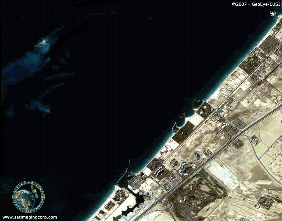
IKONOS (0.8m) Satellite Map
imelapse Animation of Development of Palm Jumeirah Island, Dubai, UAE
December 2001 – October 2003
Click image to view animation
Copyright © MAXAR. Processed by Satellite Imaging Corporation. All rights reserved.
Satellite Imaging Corporation (SIC) is experienced in negotiating custom satellite images within both satellite and client-governed time-line. We work with satellite image data from many United States and foreign-operated satellites to procure the desired satellite map data needed for city planning and urban land development projects. Our geodetic and mapping experts create two-dimensional interactive mapping projects by overlaying third-party data, such as land cadastre ownership information, census data, and labels of geographic features.
Satellite image data is highly useful for creating or updating base maps and detecting major changes in urban land cover and land use due to their multispectral band combinations, which allows for frequent coverage and overlaying of different time sequences to classify soil and vegetation areas for the proposed development area(s). Other applications include:
- Updating information on road networks and other urban infrastructure
- Collection and analysis of data on population density, distribution, and growth
- Preparation of housing typologies
- Analysis of watersheds
QuickBird (0.6m) Satellite Image
Timelapse Animation of Construction and Development of Facility in China
Click image to view animation

Copyright © MAXAR. Processed by Satellite Imaging Corporation. All rights reserved.
Rapid Acquisition/Rush Tasking
RUSH tasking orders for satellite image data around the world are accepted by SIC in support of live events, natural disasters, global security, and various other applications in which FAST delivery of image data is critical. In most instances, we can provide image data within 24 hours after the initial data has been acquired and delivered via FTP and DVD media.